Travel Log
January 1 through December 31, 2002
1/1/02
(Quakertown PA)
We started out this morning, as I described it, "island hopping along the Atlantic Ocean," 104 miles to the Verizzano Bridge to Staten Island, then just a short distance to the Outer Bridge Crossing that took us to New Jersey and the North American Continent. Passing through the New York City area is really tough on the motorhome. This time the holes, bumps, and vibrations broke a brace that helps support the battery rack. We pulled off the highway 4 or 5 times before we could find the source of the heavy metal thud that kept coming from under the front end.
Sharyn was concerned that some of her cups and/or glasses would also break as they were rattling around in the cabinets in a rather noisy manner. Luckily there was no such breakage. We passed through New York City in December 2000 and that time a bolt supporting the slide assembly snapped.!
As we left Southold this morning Jordan was sitting in the co-pilot's chair, while Sharyn was on the couch. When a black cat ran across our path we decided not to tell Sharyn (from the couch she couldn't see the road ahead of us). While Sharyn is the only one who believes in that "black cat" stuff I have to admit that that cat set the tone for the day. Later on in the day we stopped for some groceries, and while Sharyn and Jordan were in the grocery store I tied the broken brace to the chassis so it would stop banging back and forth.
Since we had started off rather tired, and the day wasn't going too well, we decided to stop early and call it a day. Unfortunately, the campground we chose was the pits. As we pulled in it was more like a low-cost housing project than a campground or RV park. The interior "roads" in the campground were too narrow and had low branches and encroaching shrubs everywhere -- with no way or place to turn around. In the process of trying to get out, a leaning tree got up against the awning over the bedroom slideout and bent the mounting hardware. By running out the dinning room slide on the opposite side we got the motorhome to lean away from the tree just enough that Sharyn was able to direct me out. We left that place with a damaged slide awning and, probably, numerous small scratches on the side of the motorhome.
The next campground we tried we called to confirm that they were open all year. They were, and the man gave Sharyn detailed directions how to get there. About ten miles later when we got to where you turn off the main road the man was there with his car to guide us the last several miles. That was quite an accommodation.
Unfortunately, the bent mount on the bedroom slide awning prevents us from running that slide out tonight. Oh well, tomorrow may be a better day.
Odometer reading = 30,258
Miles for day = 209
1/2/02
(Charlottesville VA)
Last night when the owner led us to our campsite he said, "You can pay me in the morning," so when I went to the office to pay we spent an hour or so talking (a Pennsylvania campground office in January is not too busy). Anyway, we didn't get on the road until noontime. That pretty much put a crimp in our plan to get to Phil and Kim's in one day and to arrive before dark. We kept going back and forth about whether or not to make it a two day trip, but since there was a major snow storm moving into the southeastern part of the Country, we weren't sure what the situation would be in Charlottesville tomorrow. When we hit the Virginia State line we decided to go for it -- which we did.
Odometer reading = 30,604
Miles for day = 346
1/3/02
(Charlottesville VA)
Not too much activity today, although the one thing on my agenda was to do something with the mounting bracket on the bedroom slide so we could put the slide out. By loosening the end of the bracket we were able to put the slide out, but we are going to need several replacement parts to accomplish a proper repair.
Odometer reading = 30,604
Miles for day = 0
1/4/02
(Charlottesville VA)
I don't know what happened this morning, but Jordan was up and had the coffee going before anyone else was awake. WOW!
Later on Sharyn and Jordan went shopping and did not return until past dinner time. After Katlin had been home from school for several hours waiting anxiously for Grandma and Aunt Jordan to return she asked me why, if they are trying to get rid of stuff in the motorhome to make more space, they went shopping to buy more stuff. I told her that was a great question and that she should ask them when they returned. She did ask, but I didn't hear any answer!
Anyway, it's past midnight and I just finished watching Charlie Rose and his guest Lawrence Lessig, author of The Future of Ideas -- The Fate of the Commons in a Digital World. I've read several reviews of the book, and Charlie Rose was the second interview I've seen (heard) with Lawrence Lessig. Buy the book -- I intend to!
By the way, neither Grandma nor Aunt Jordan are home tonight
(means they're not in the motorhome). They and Katlin are camping out in the
TV/play room in the basement, watching videos, sleeping on the floor, and having
a "girl's night out." I'm sorry I wasn't invited. ![]()
Odometer reading = 30,604
Miles for day = 0
1/5/02
(Charlottesville VA)
This afternoon Jordan, Katlin, Phil, and I went to the range at the Rivanna Rifle and Pistol Club where Phil is pretty active. We did a few rounds at the plinking range with Phil's AR-15; We also did a few rounds with Phil's Glock 34 and my Sig 229, but there was another couple using that range which precluded us from doing the IDPA, closer range, timed rapid fire stuff we wanted to do so we moved to the PPC range which we had to ourselves.
I didn't even know that Katlin shot, much less that she does pretty well for an almost 9 year old. Since the first time Jordan fired Phil's Glock 34 (his latest handgun acquisition) she has had no interest in shooting any other handgun. Since he got the 34 I don't think Phil has used anything else in competition -- of course he bought it strictly for match shooting. I prefer my Sig 229, but then I'm not too good.
This is a video clip of Jordan firing 10 rounds with Phil's Glock 34 (download time with a 56K modem is almost 2 minutes).
Odometer reading = 30,604
Miles for day = 0
1/6/02
(Charlottesville VA)
The forecast for today was 4 - 6" of snow, with another 1 - 2" to fall tonight. Well happily we only got about half an inch and it doesn't appear that there's any more to come tonight. That's good, because we're out of here in the morning; hopefully headed for warmer places.
As for RVers who linger too long in the higher latitudes, they will understand why everyone else is further south. Our motorhome is heated (and cooled) by two roof-mounted heat pumps and we like them a lot. However, when the outside temperature gets to about 30 degrees the heat pumps shut down and the system switches over to LP furnaces, which also do a fine job of keeping comfortable temperatures inside, even when it's subfreezing outside. The problem comes from the combination of being too far north at the wrong time of year and having a limited LP storage capacity. We have a 20 gallon tank that we generally lasts us about six months. However, when the temperatures stay as cold as they've been and the furnaces replace the heat pumps as our primary source of heat we run through a tank of LP in a week. The point is that we used the last of our LP gas last night and, it's now almost 10:pm and the heat pumps are still running. We all sincerely hope that the outside temperature, which is just at freezing, does not get any colder tonight (no LP gas, no heat below 30 degrees). We do have a portable 1500 watt electric heater, but that will hardly do the job. Tomorrow, as we head south we plan to take US-29 down through Lovingston, Lynchburg, Danville, etc., which should take us past a number of LP distributors.
This afternoon we drove out to Louisa to visit with our son Shane and his friend Michelle. We've never been to their place before and found it quite cozy, set on 13 acres back in the woods and fields a quarter mile back from the road. It was a pleasant visit but we didn't stay too long because with the continuing threat of heavy snow (it snowed lightly all day) I wanted to be sure we'd be back before dark.
Odometer reading = 30,604
Miles for day = 0
1/7/02
(Fayetteville NC)
We had set the alarm for 6:am so we could see everyone before they left for work/school/baby-sitter. We lucked out last night because the heat pumps maintained a comfortable temperature all night.
It was a little before ten o'clock when we pulled out of the driveway. Because of snow west and south of Charlottesville we headed east on I-64 to Richmond, then south on I-95. We wanted to put some distance between us and the incoming snow.
We still had to deal with an empty LP tank that needed filling. At one point where I-95 was running parallel to US-301 we saw an LP facility on 301 so we exited at the next exit and came back on US-301 to the LP place. It turned out that they built and serviced LP delivery trucks, but didn't sell LP. So we lost some time. Next attempt was when we again got onto US-301 and stopped at a campground that was open all winter and sold LP gas, or so it said in the campground directory. The problem was there was no one around to pump the LP. We decided to stay on 301 for awhile and see what else we might find. Eventually Sharyn spotted a gas station with an LP service tank in the back. We made a U-turn and took on 17 gallons of LP for $44.
We then got back on I-95 and decided to head to the FamCamp (the Army calls them Travel Camps) at Fort Bragg in Fayetteville NC. We arrived at 5:pm and the camp office was closed. The sign said take a spot and sign in tomorrow. The campground roads are gravel, but the the sites have new concrete pads, 50 amps, water and sewer. We might stay for two nights so we can check out the commissary, buy some groceries, and get all our stuff better organized in the motorhome.
Odometer reading = 30,903
Miles for day = 299
1/8/02
(Fayetteville NC)
Today was a relaxed and easy, yet productive, day. Sharyn and I went to the commissary where we bought lots of dried beans for soup, a wide selection of fresh vegetables for stir frying, and other assorted stuff. We also went to the PX where I found a soft bristled brush on a telescoping pole for washing the motorhome. The one I have, and all the others I've seen have bristles that are not as soft as I want. When we got back to the motorhome Jordan was up, showered and dressed, and had done some picking up and further condensing of all of her stuff.
The car was totally covered in grime from the trip from Charlottesville so I decided that I'd wash it using the new brush thing. It worked very well and the temperature climbed sufficiently while I was doing the car that I decided to do the motorhome as well. This was the first time the motorhome's been washed since last summer when, over a three week period in New Brunswick, I waxed it. The reason it hadn't washed it sooner was that I didn't want brush marks in the waxed surface.
While I was washing, Sharyn and Jordan were continuing to make Jordan's stuff fit into the motorhome so it wouldn't have to stay on the kitchen table, couch, piled on the floor, etc. Actually, at this point they have the motorhome 95% back to regular. It looks and feels good.
As I write this I realize that it doesn't sound like we would have enjoyed the day, but the fact is we did. We are considering extending for another day.
By the way, some of the places we've stayed at have mosquitos, some have other flying/crawling insects; this place has swarms of helicopters -- kind of neat!
Odometer reading = 30,903
Miles for day = 0
1/9/02
(Myrtle Beach SC)
Several years ago Greg looked at a 32' Blackfin fishing boat in or around Norfolk VA. The boat was in beautiful condition, and the engines had only 15 hours on them. He didn't buy it and I've always felt bad that he didn't. Anyway, he's been looking at Black Fins again, and has focused on a 32' in Southport NC (just east of Wilmington). He called us last night and asked if we could take a look at it, and perhaps confirm that it's the same boat he passed up the last time and, if it is, to confirm that it still looks clean. Well we did that today and it is the same boat and it still looks good. The only thing is that one of the engines was missing. The broker, who met us at the boat, was surprised at that, and I suspect somewhat unhappy with the owner for putting him in the position of showing a boat with a missing engine without any information or explanation as to how come. Anyway, the broker said he'd get hold of the owner and then call Greg.
From Southport we headed to Myrtle Beach, about 75 miles down the coast, where we tried to get to Camping World before closing time. They were locking the doors as we drove in. Oh well, we're spending the night in the parking lot so we'll be here when they open. We need some replacement parts for the slide awning which will probably have to be ordered out of Atlanta. If so, we should still be able to have them on Friday, before the weekend, so we can head on to Sumter. We also want them to check the wiring to the tail lights on the Honda that do not come on with the motorhome lights when the Honda is in tow. The tow bar and tail/brake light harness were installed by Camping World in Manassas Va. One thing we like about Camping World is that an installation they perform is guaranteed for as long as you own the unit. It may be that the tail light problem is not related to the installation, but there is voltage going into the connector at the front of the Honda, and the tail lights do work if the Honda lights are turned on. We'll see in the morning.
Odometer reading = 31,094
Miles for day = 191
1/10/02
(Sumter SC)
I woke up at 6:am and, since there were several other motorhomes in the parking lot, I didn't want to start the generator. That precluded the electric coffee pot, and the French Press didn't seem to be worth it, so I boiled water for some Taster's Choice instant coffee. Sharyn was up only a few minutes later and we woke Jordan at seven. Anyway, we had breakfast, etc., and when Camping World opened at 8 o'clock we were there!
Before noon they had fixed all our problems and we were on our way to Sumter and Shaw AFB.
It feels good to be back here again. The fact that it's sunny, breezy, and 72 degrees, with the scent of pine trees in the air doesn't hurt. We got all set up before having cheese, wine, and crackers ouutside at our picnic table. After some wine, cheese, and conversation, Jordan and I went to the FamCamp office to upload to this site and check our e-mails.
Odometer reading = 31,197
Miles for day = 103
1/11/02
(Sumter SC)
Sharyn and Jordan did several loads of wash, plus Sharyn did a bunch of ironing that she's had for awhile. Yesterday I made myself a list of things that I've been wanting to get done for some time, and today I knocked off six of the ten items on the list. The one that's been bothering me the most was the cycling on and off of the water pump when no one was using water. Several weeks ago I had called Shurflo, the pumps manufacturer, and they sent me two new replacement check valves which I installed today. Tomorrow I should finish off my list.
This afternoon, as I was still working on my list, Sharyn and Jordan went to the commissary for milk and a few other things, plus they checked out the BX.
That doesn't sound like much, but it was a low key, yet constructive, day for everyone.
Odometer reading = 31,197
Miles for day = 0
1/12/02
(Sumter SC)
Today began with no particular plan but soon developed into a very major clean up and reorganization. I started with the remainder of my list from yesterday while Sharyn began unloading all the basement compartments, redoing the bedroom closet and some other cabinets as well. Some stuff got unloaded from the car (our portable shed), while other things were relocated to the car. This photo does not really give a good feel for the extent of the project, but this photo does a good job of conveying the seriousness with which the job was pursued. We were probably about 20 minutes from finishing up when it started to rain. That wasn't bad because at that point we were able to get the remaining stuff under cover inside of a minute. Had the rain come several hours earlier it would have been a totally different matter. It was a very productive day
I tried to update this website this morning (and check our e-mail) but the office is closed for the weekend. Don't know when you'll ever get to see this!
Odometer reading = 31,197
Miles for day = 0
1/13/02
(Sumter SC)
The original plan, if you want to call it that, was to leave here today. However, we didn't wake up until after 9 o'clock. After some coffee and conversation we sort of came to "we really don't have to leave here today," so we didn't. We went for our first "walk," but only did a mile (out of consideration for one of the participants). We haven't been able to do our daily walks here because some sort of "exercise" has been going on and walkers, runners, and/or joggers have not been allowed on the roadway.
We didn't do very much, but soon it was time for dinner. After that Jordan wanted to know how to play Canasta so she and Sharyn played several hands. I then said that I'd join in which I did. It's now midnight and we're getting set for bed. The plan now is that tomorrow we'll be up at six and on the road by eight. I think that'll work.
Odometer reading = 31,197
Miles for day = 0
1/14/02
(Screven GA)
Last night, while setting the alarm for 6:am we realized that that was only 5 1/2 hours away. We set the alarm 7 o'clock instead.
I went to the FamCamp office and uploaded the website, checked e-mail and bank statements, and we were on the road just before 10:am. Travel was uneventful; we took US-15 south to I-95 which we stayed on until just south of Savannah where we exited onto US-17 (basically) to US-84 west.
When we left this morning, Savannah was our targeted destination as we've never been there and understand that it's a beautiful place to see. However, when we stopped for lunch a half hour or so before Savannah, it was raining (as it did most of the day) and quite unpleasant. We decided that neither the weather nor the time of year lent itself to a touristy visit to this ante-bellum city, plus campground rates in and around Savannah are kind of high. Better we do Savannah under better circumstances -- probably when we head south from the Canadian Maritime Provinces in the fall of 2003.
In the meanwhile we continued on to "Happy Acres Resort" in Screven GA. Located eight miles north of US-84, a narrow 2-lane highway that pretty much comes and goes from nowhere, I expected a run down, rather dumpy kind of place. What a surprise! It's neat and clean, and nicely maintained. We checked in at the rather dusty old country store across the road where a very friendly and helpful lady, of about the same vintage as the store, gave us an update on the local weather -- "supposed to dry out tonight, but no guarantee" -- and then drew us a map of the best way to get back out of here. The campsites themselves, while on the grass, are as clean and neat as any we've ever been in.
Odometer reading = 31,435
Miles for day = 238
1/15/02
(Okefenokee Swamp GA)
This morning was sunny and bright and we took off for Stephen C. Foster State Park which is located within, and is a part of, Okefenokee National Wildlife Refuge. We arrived shortly after noon and, given our choice of campsites, selected this one. This is Sharyn and Jordan walking back to the campsite.
After getting set up we walked one of the elevated nature trails that wandered through a minuscule portion of the 396,000 acre wildlife preserve.
In the Okefenokee Refuge (wildlife preserve) there are 110 miles of waterways well suited for canoeing or kayaking. There are three of us, but we only have two kayaks. If tomorrow is another sunny day we will rent a canoe and paddle at least a couple of these 110 miles of wilderness waterways.
Odometer reading = 31,546
Miles for day = 111
1/16/02
(Okefenokee Swamp GA)
It was a beautiful warm and sunny day today and, as planned, we rented a canoe that the three of us could go out in together. Adjacent to the campground/park office there is a boat basin with docks for small boat rentals, the Park Rangers' boats, and a launch area for kayaks, canoes, and other private boats. From this basin there is a canal that runs out about a half mile to "Billy's Lake." This "lake" is a body of water about 4 miles long and perhaps 100 yards wide. The east end of the lake is where the East Fork of the Suwannee River enters into it. Just west of that point the Middle Fork of the Suwannee River enters the lake from the north. At the western end of the lake the combined flow of these two branches exit the lake and continue for about another four miles where they are joined by the North Branch of the Suwannee River. The Suwannee River, having been spawned in the Okefenokee swamp, now being complete, begins is southwesterly trek into and across the State of Florida where it eventually flows out into the Gulf of Mexico.
Now that you've got the description of this portion of the river I'll continue with what we did today. The three of us took canoe #12 and paddled out to Billy's Lake through the 12-15' wide canal that connects the boat basin to the lake. When we entered the lake we turned to the right and headed east, following the northerly shoreline. We hadn't gone too far until we came upon a 4-5' alligator sunning himself on the bank. As I was taking the picture I remarked that either alligators don't have eyelids, or he was watching me. Jordan suggested he was watching me! Sharyn was uncomfortable with, I believe, the entire scenario; alligators in close proximity, a canoe that seemed less stable than our kayaks, the black water and dense shoreline of the Okefenokee swamp, etc. She said she'd like to go back and for Jordan and I to go without her. She had never been too enthused about going out into the river/swamp to start with, but was pretty game to try it anyway.
We did bring Sharyn back to the boat basin where Jordan and I switched the rental canoe for the kayaks. As we proceeded back out the canal it was only two or three strokes with the paddle before I took note at how much less effort was required to move the kayak through the water compared with the canoe. We again headed east on Billy's Lake. Progress was rather slow as Jordan was intent on not missing any sight or sound along the shoreline. I was anxious to get to the Middle Fork of the river because I like the narrow, more constricted, waterways where you are close to both shorelines and can examine everything in much greater detail. For everything that's happening on the more open water there are a thousand things happening where the water meets the shoreline.
When I got to the Middle Fork, Jordan was far behind me, still way down the lake and out of sight. I didn't want us to get onto different tracks through the swamp so I came back down to the mouth of the Middle Fork to wait for her. We she caught up we started up the Middle Fork. What a beautiful experience. At this point the current running against us, which was not discernible on the lake, became somewhat of a factor. Also, Jordan wanted to be sure she had enough arm strength to get back, plus there is an "off the water" time of 5:pm. If anyone has not returned and gotten "off the water" by that time, the search and rescue boats will go looking for them.
We were back well before that time, and as we came into the basin Sharyn was there to meet us.
The next time we're in this area we'll have to do some much more extensive kayaking in these waterways. Sharyn says so long as it isn't "bad alligator" season she'd go with me. She was surprised that she didn't like the canoe. She says she feels much more secure in her kayak.
PS: Stephen Foster never saw the Suwannee River!
Odometer reading = 31,546
Miles for day = 0
1/17/02
(Old Town FL)
As we started out the 17 mile driveway from the park to the highway I commented that it was on this 17 mile drive that Sharyn had first driven our 27' Travel Master. We asked Jordan if she'd like to drive the motorhome out to the highway and she said she would. It was a groundbreaking morning; Jordan drove the motorhome for the first time, and Sharyn, for the first time, hooked the Honda up to the motorhome.
Except for stopping at Winn-Dixie in Lake City, and my missing a couple of turns, it was an uneventful trip to Old Town. We were heading to a campground in this area where we stayed several years ago. As we turned into this campground we realized that it was the wrong place, but we stayed here anyway. This place is okay, but the other place was right on the Suwannee River and I was looking forward to kayaking on the river.
Odometer reading = 31,669
Miles for day = 123
1/18/02
(Lehigh Acres FL)
Today was another day where the plans changed as the day progressed. We didn't pull out of the campground until thirteen minutes past noon, but that was okay. I've concluded that you can hurry, be unrelaxed, and maybe leave earlier. Or, you can not worry about it, go with the flow, be relaxed and leave whenever it happens. As far as I can tell there's no reason not to proceed with the latter system.
We proceeded in a southeasterly direction until we picked up I-75 at Ocala. Just as we had the Interstate in sight we came to a supermarket where we pulled in to get some groceries and, while in the parking lot, have lunch. While Sharyn and Jordan were in the store I called the FamCamp at MacDill AFB to see if they had any available spaces left. They still had a few but the lady said she was signing people in as we spoke. It sounded unlikely that there'd be anything left by the time we'd get there. We were probably about 225 miles from Sharyn's mother's house (our destination) so I said we'd might as well go for it, which we did.
For people who have decided not to travel over 200 miles in any one day, and who don't drive at night, we seem to be doing a fair number of 200+ mile days, and frequently not arriving until after dark -- such as today. We may have to get our life's priorities back on track!
Anyway, we're now at Sharyn's mother's, or more properly stated, we are parked on the shoulder of the road across the street. Having visited for an several hours, I left Sharyn and Jordan in the house talking while I came back out to the motorhome to take my shower. Having done that, and feeling very good as a result, I am doing this page. I'll then walk across the street in my pajamas and upload this to the server.
Tomorrow we'll check into a campground somewhere in the vicinity.
Odometer reading = 31,956
Miles for day = 287
1/19/02
(LaBelle FL)
The day started very very early. I was lying in bed awake, wondering what time it was. It was still dark. Finally I pushed the button on my watch to illuminate the dial (I hate to do that because I figure the amount of battery power it takes to light the dial for one second would probably run the watch for a month). It was 4:10am, much too early to get up. As I was wondering "what to do now?" I realized the Sharyn also was awake. I asked her if she wanted a cup of coffee, to which she laughed and replied, "no." A long time later, I was even more wide awake and it was clear that my sleep for the night was over. As I started to get out of bed Sharyn, who also was still awake, asked me what I was doing. I said, "getting up." It was 5:15 and we were soon having our "coffee and conversation." We had gone to bed at 12:30am, so at least I had about 3 1/2 hours sleep. Sharyn said she never got to sleep because she kept getting up to check on noises she heard outside the motorhome, and to see who was trying to steal the kayaks off of the Honda. It's now 7:30pm and I'm having trouble staying awake.
Sharyn's sister Sandy, who has been living with and taking care of her mother for over a year, left this morning to go fishing for the weekend. Around midmorning I took the motorhome to LaBelle Woods RV Resort, about 25 miles away, where we had stayed this past spring. It's a nice campground but this time of year it's pretty crowded. While I was there and getting all set up, Sharyn called to ask me to bring her a change of clothes, etc., as it had become apparent that Sharyn was going to be spending the night with her mother, who cannot be left alone.
Anyway, to shorten the story, I went back with some stuff for Sharyn; visited a while, then returned to the motorhome with Jordan. We'll be back to Sharyn's mother's first thing in the morning.
When we left Charlottesville on January 7 we figured to take a month to get to Sharyn's mother's. There was no need to hurry (once we got south of the snow threat) so we were going to poke along and stop and see anything that struck our fancy -- spend more time in Sumter for instance -- visit Savannah, for instance -- and we definitely would have spent more time paddling the Okefenokee Swamp. However, somewhere enroute we got a phone call that Sandy's son Michael was getting married on Saturday, January 19. We picked up our pace considerably to get here for the wedding. Today's the day, but no one has seen or heard from Michael, or the "bride," for a number of days. Everyone's best guess is that they went back to California. Oh well, wait until next time.
Odometer reading = 31,980
Miles for day = 24
1/20/02
(LaBelle FL)
We (Jordan and I) got up and went to Sharyn's mother's. Sharyn had cleaned and scrubbed everything and had the place well under control. Her brother Alan had stopped over, so while he was there to watch his mother Sharyn and Jordan took about 75 pounds of laundry to the Laundromat in the nearby shopping center. I said I'd stay at the house, but when an hour and a half passed and they still weren't back I decided to walk down to where they were. It turned out that it had taken them six machine loads to wash all the stuff. Anyway, from the Laundromat we went next door to Publix to pick up something for dinner.
As we got back to the house Aunt June and her 93 year old boy friend were just getting out of their car. I had heard of him, but never had met him. He looks and moves as though he were in his early 70's. In a conversation you'd think he was 60. I hope I'm that good ten years from now, never mind in another 31 years when I get to be his age. Pretty impressive -- and a very nice man besides!
After they left Sharyn made dinner for all of us, including Susan, Alan's wife, who stopped by to visit. After dinner Alan and Susan left and the three of us just talked as we would if we had been back at the motorhome. Sharyn's mother basically can no longer get out of bed, and she sleeps pretty much all the time, so while it's her house it's almost as if she wasn't there.
Still no word from Sandy but Sharyn's pretty sure she'll be back tomorrow.
Odometer reading = 31,980
Miles for day = 0
1/21/02
(LaBelle FL)
The big event of the day was when Sandy showed up this afternoon. Tonight Sharyn came back to the motorhome with me and Jordan. It's super much better with her here.
Odometer reading = 31,980
Miles for day = 0
1/22/02 and 1/23/02
(LaBelle FL)
I opted to stay at the motorhome while Sharyn and Jordan went to Sharyn's mother's. Not much happened at either place.
Odometer reading = 31,980
Miles for day = 0
1/24/02 to 1/28/02
(LaBelle FL)
Basically Sharyn has been visiting at her mother's house every day, sometimes with Jordan and/or me. It looks as if we are going to leave here on Wednesday, January 30.
Odometer reading = 31,980
Miles for day = 0
1/29/02
(LaBelle FL)
Since we are leaving here tomorrow we all went to Sharyn's mother's for the day.
Odometer reading = 31,980
Miles for day = 0
1/30/02
(Zolfo Springs FL)
Well, we're finally back on the road again. We didn't plan on going too far today, only to the Escapee park at Zolfo Springs -- it's an Escapee park we've never been to before. We arrived just after noon. The place is quite nice. I don't know what I expected, but it is nicer than I was surprised at how nice it is.
We didn't do anything for the rest of the day but relax, read, and generally recuperate. Jordan and I did go to Wal-Mart to get a third fold-up chair for sitting outside.
Today would probably be described as the first leg of our trip to Alaska.
Odometer reading = 32,059
Miles for day = 79
1/31/02
(Zolfo Springs FL)
Sharyn did lots of laundry in the laundry room located in the rear room of the clubhouse. I washed the car and did some reading in the library which is located in the room on the left in the clubhouse.
We also met and talked with Bill & Carol Williams, our neighbors across the way who told us they make jewelry that they sell at crafts shows. That's technically true, but when we saw his work it did not conform to my expectation. It would be more accurate to say that they manufacturer very fine, high quality, one-of-a-kind pieces. For example, two of my favorites (just from the few he showed us), are this pin and this cross. Their business is called Precious Treasures and they can be reached at misnowbd@hotmail.com.
Odometer reading = 32,059
Miles for day = 0
2/1/02 and 2/2/02
(Zolfo Springs FL)
We didn't do anything yesterday (as far as I can remember), but today we had had planned to go to an RV show in Ocala. However, when it was time to get up and get ready to go, the one who yesterday most wanted to go, was less enthused. I had had questions about whether it would be worth the 125 mile trip to Ocala so it was fine with me not to go.
Instead, I did some work on the water system in the motorhome. Three problems we've had for awhile have been; (1) the water pump keeps cycling on every several minutes, (2) when the water runs there's a vibration from the water pipes running under the floor, and (3) when we're hooked up to city water pressure, over a period of a day or so, our water tank overflows. Numbers (1) and (3) I think were related -- water pressure leaks back through the water pump (probably the check valve). The only problem is that several weeks ago I replaced the check valve and it didn't seem to make any difference. However, it's been several hours since I replaced it again this afternoon, and I think that cycling on problem may be fixed. It will take awhile to see if the check valve fixed problem (1) also. By the way, while I was in there I also relocated the water pump from the floor of the compartment to the side. That freed up a substantial area for storing water hose, extension cord, etc.
I also removed the rear panel of the compartment and used electrical tape to fasten the water lines in such a manner that the vibration has been substantially reduced. Not a bad day.
Odometer reading = 32,059
Miles for day = 0
2/3/02
(Zolfo Springs FL)
Sharyn and I went to the kielbasa cook at the clubhouse where kielbasa on a roll with onion, etc was only a dollar. Almost as good a deal as 10-10-220!
Jordan complained that she couldn't watch the Super Bowl because I watched the news, and then she missed half time because, "Mom had to see the dance scene in The American President which she's already seen ten times."
By the way, before we leave here, here's a picture of our site.
Odometer reading = 32,059
Miles for day = 0
2/4/02
(Bushnell FL)
We checked out of Zolfo Springs this morning. We paid $50.02 for five days camping, plus $11.94 for 124 kWh of electricity, for a total of $61.96. That's pretty reasonable. It's also only the second time we've paid for metered electricity on a short time stay.
When we stopped for lunch I took note of Jordan's hair which I thought looked exceptionally good, so I took her picture.
In November 2001 Escapees purchased Sumter Oaks RV Park, an existing RV park near Bushnell FL, to convert to another Escapee (SKP) park. Since we don't know when we'll be back in this area again we decided to go there and check it out. It's probably less than 100 miles from Zolfo Springs, but it took us 131 miles to get here. When we were planning to go to the RV show in Ocala this past weekend I had studied the map to see just how to get to the fairgrounds in Ocala where the show was to take place. We didn't go to the RV show, but when we left this morning for Sumter Oaks, which is about 40 miles south of Ocala, I started driving north to the Ocala fairgrounds. We had gone about 100 miles when Sharyn asked me, "how much further to this place?" As I began to answer I realized what I had done. Luckily we had not yet gone past Sumter Oaks, but we were in the process of doing so; and we were 30 miles to the east of where we would have been had I been going to the right place. I guess it's like the bumper sticker says, "Dumbness Happens."
Anyway we did get to Sumter Oaks, and while it's pretty nice now, it's potential is terrific. I'm sure that after Escapees has had it for a year or two it will be one of their nicest parks. We like it -- mostly because we like the large Live Oaks that spread over the entire campground. Jordan likes it better than Zolfo Springs because she says the people here are much friendlier here. Tonight they had a spaghetti dinner at the clubhouse and we went.
Periodically we come across a sign that I think has some particular humor or interest. I'm going to start photographing such signs and post them on this site. When I've accumulated several I'll start a separate page, perhaps called "Interesting Signs." In the meanwhile, here's the first sign.
Odometer reading = 32,189
Miles for day = 131
2/5/02
(Bushnell FL)
The first thing that happened this morning, after coffee and conversation, was that Sharyn and Jordan went to the club house for a line dancing lesson (not too many people showed up). They were gone for considerably longer than that because apparently all the women sat around and talked about their RV'ing experiences and the pros and cons of full-timing.
While they were line dancing I changed the water filters on the motorhome. We use two filters in series with the first a half micron sediment cartridge and the second a half micron carbon block The carbon filter is referred to as a "polishing" filter as it also removes chlorine, odors, and most other disagreeable characteristics, "polishing" the drinking water -- and, because of where it's installed, all the water coming into the motorhome. The water passing through these filters, according to Sharyn, is better than any of the bottled spring waters that she used to buy before we installed this filter system.
We also put our name on the waiting list to purchase a long term lease for one of the lots in this park. There are a total of 125 lots, 25 of which are leased to Escapee members. The remaining lots are available for Escapee members who are looking for short term campsites for a few days or weeks. We don't know if we wish to purchase one of these leases or not, but for $20 we become #71 on the waiting list. We'll think about it as we wait for our name to work it's way up the list. Probably somewhere around a two-year process.
Later this afternoon Jordan and I went to Winn-Dixie to get some fresh vegetables to make for dinner. We passed over the yellow peppers at $1.99 each.
We're probably going to stay here through the weekend.. Sharyn likes it here, and if she's happy I'm usually happy too!
Odometer reading = 32,189
Miles for day = 0
2/5/02 through 2/10/02
(Bushnell FL)
We've been here for awhile and we're all ready to move on to visit with Ron and Peg in Umatilla. Unfortunately several days ago we called Texas to have our mail sent to us here. The accumulated mail filled two mailers, one of which arrived yesterday (Saturday). Therefore we are now waiting for the second mailer which should be here tomorrow. We have decided, however, that if it doesn't come we'll leave anyway and someone will come back with the car to get it.
Anyway, for some pictures! During a good part our coffee and conversation time I sit in the drivers seat, which by then has been swiveled around to face the living room area. Also, during coffee and conversation, Sharyn will at some point go outside to have her cigarette. This is my usual view of Sharyn at that point. If you look carefully in the lower mirror you will see some guy standing there. He is camped diagonally behind us and has been there for several days. The other day when I was talking to him he was rather reserved and not overly friendly. Well this morning he sure was friendly with Sharyn, asking her if she was a "single." I guess he thought I was the hired driver.
Later this morning (after the guy went back to his own RV) Jordan and I walked the perimeter of this campground, twice. That's just over 1.1 miles and I had trouble keeping up with Jordan. It's not clear to me how she walks so fast. She was 30 seconds ahead of me when we completed our second lap. However, my pulse rate was 76, Jordan's was 124. She didn't look like she was suffering.
Finally, this is the camp store, office, and laundry room as seen from our campsite. I took this picture because I like the building, particularly the roof line. I thought that they should get rid of all the dryer vents that destroy the esthetics of an otherwise attractive building, so I applied a little Photoshop and got rid of the vents, the electric pole, "no parking" sign, and the bulk LP gas tank. Sure makes the place look better. Unfortunately, the change in pitch (which is what I like) where the roof comes out over the porch is visually lost in the reworked photo.
Odometer reading = 32,189
Miles for day = 0
2/11/02
(Umatilla FL)
This morning we checked out of Sumter Oaks and were on the road by 11:30. Actually we were only on the road for about three miles until we stopped at a welding shop where the guy fixed the bracket that had broken on New Years Day as we bounced and jostled our way across the "highways" of New York City. For $10 you almost wish you had two broken brackets so you could get two such bargains!
Anyway, from Bushnell we took US-301 north to Routes 42 and then 450 to Umatilla and our friends Ron and Peg where, as we usually do here, we parked by the horse barn. Once upon a time, a lifetime ago, the four of us used to sail the waters between Long Island and Nantucket. Then we had fun sailing; now we have fun talking about what we used to do. Is there some kind of a message there?
We stayed up talking until midnight when we finally called it a day.
Odometer reading = 32,244
Miles for day = 55
2/12/02 and 2/13/02
(Umatilla FL)
As of this writing we've been here for three relaxed days (actually I guess that's not too amazing since we have few days that are not relaxed).
One of the things that we've been working on is going through the mail. We had our mail forwarded from Texas to General Delivery at Bushnell FL and it didn't arrive there until Monday morning. We picked up the mail on our way out of town. Sharyn is now in the process of going through it.
Yesterday Jordan went driving with Peggy and Julie. Actually Peggy and Julie have been doing very well in the formal competitions they have entered. Later in the day Sharyn, Jordan, and Peggy relaxed and talked about . . .?
This morning Sharyn, Jordan, and Peg went to a mall somewhere not too far away. I guess they had a good time because malls seem to do that to them.
Ron came home from work early and we shot some skeet out in the field by the lake (I forgot to take pictures). Tonight we again ate with them, and again we ate a little excessively -- especially the bread, pie, and ice cream. We plan to leave in the morning and we told Ron and Peg that next time they should come and visit us!
Odometer reading = 32,244
Miles for day = 0
2/14/02
(Perry FL)
This morning, being Valentine's Day, began with Sharyn giving me an wonderfully appropriate Valentine's Card. Is that a cool card, or what?
After coffee and conversation we said good-bye to Peggy, Sharon, and D'Ayn (Peggy's daughter and granddaughter), and pulled out of the driveway heading north for Perry FL. Four hours and 150 miles later we pulled into the Westgate Motel and RV Park. We've stopped here twice before and it works out well as a stopping point between mid-Florida and the Panhandle. Besides it's a Passport America campground with 50 amp hookups and only costs us $11.
About a half hour before we arrived, Sharyn was saying that she thought it was too bad we hadn't bought an Allegro Bus, a diesel pusher, instead of the unit we bought. When we arrived at the campground we were parked next to an Allegro Bus -- it sure looked nice. The bus had Alaska license plates on it and I asked the owner how long they had lived in Alaska. He's probably in his late 60's and he said that when he and his wife got married they went to Alaska for their honeymoon and stayed there. Now they're retired and travel full-time.
That bus was on our right, and on the other side of the bus was a Winnebago that had been next to us at the Escapees Park in Bushnell FL. They are on their to Alaska. On our left was another motorhome with a retired Air Force man and his wife; they are also on their way to Alaska. We may well meet any or all of these people in Alaska this summer. Actually we all plan to cross into Canada between the middle of May and the first of June!
Odometer reading = 32,395
Miles for day = 151
2/15/02
(Panama City FL)
Of the three motorhomes heading for Alaska that were parked together last night, we were the next to last to pull out this morning. The Air Force guy was gone when we woke up.
As we drove west on US-98 along the Gulf Coast we crossed the bridge over the Ochlockonee Bay. Several years ago we found a small area down on the water at the end of the bridge where we had pulled in with our 27' Travel Master. It was a very pretty place to stop for lunch so we decided to do it again. We weren't sure we'd be able to turn this rig around without unhitching the Honda, but we'd find out. It turned out there was no problem swinging a wide left turn and parking under the trees. We briefly checked out the shoreline of the bay before returning to the motorhome for lunch. Here's another picture of us parked under the trees.
From there we continued on to Panama City and the FamCamp at Tyndall AFB. I suggested stopping for our "two o'clock coffee" but Jordan vehemently vetoed the idea saying that, "we've just had lunch." I acquiesced and we continued on to Tyndall.
There were no available spaces in the FamCamp so we are in the overflow area. We are #3 for a site so that's not too bad -- particularly when the overflow sites have water and electric!
Odometer reading = 32,551
Miles for day = 156
2/16/02
(Panama City FL)
Before noon today we had a regular campsite and we moved out of the overflow area. However we have a site with no sewer connection, although we have water, electric (30 amps) and cable. We are now #4 on the list for a full hookup site which will include sewer and 50 amp electric.
After moving into our site Sharyn and I drove down to Bonita Bay Outdoor Recreation Complex which is the name of the water recreation area on base about a half mile west of the FamCamp. This is the northerly point of the facility as seen from the US-98 highway bridge. The Gulf of Mexico is to the right, just beyond the trees. The FamCamp is in the woods to the left and across the water from Bonita Bay Point. After checking it out (it hasn't changed since we were here in April of last year) we went to the commissary where we bought $191 worth of groceries -- Mother Hubbard's cupboard was truly bare. While we were there I stopped in at the base barber shop and got a very much needed $5 haircut.
Odometer reading = 32,551
Miles for day = 0
2/17/02 through 2/22/02
(Panama City FL)
During this past week we haven't done any "big" thing, but we've been moderately active with miscellaneous stuff. We've shot some pool, done daily walks (with some short sprints), driven around town, explored a secluded, sandy white beach hidden behind the drone launch area, gone shopping, did laundry (Sharyn and Jordan did), read our books and magazines, etc. On two occasions I went kayaking by myself when I couldn't interest anyone else in going with me (maybe I need a dog).
Over the last several days the hose that we use to connect to the water hookup had developed a number of leaks to the point that it sprays water all over the place and we can't leave the pressure on. While the pressure here is probably in the 125 pound range, we've been hooked up to higher pressure in the past with no problem (we have a pressure reducer where the water goes into the motorhome to protect the motorhome plumbing). Anyway, this afternoon Jordan and I went to went to buy a new hose. While we were out I tracked down a Sony 707, a Zeiss lens equipped digital camera which I've been reading about, but have never seen or handled. We finally found one, in Sears of all places. In Sears or anywhere else that's a very impressive camera! If you're really interested in an extensive review of this camera, click here, but take note that you must "click" your way through the entire 13 page article.
When we got back to the FamCamp and I rolled up the old hose I looked more closely at the leaks. The campground is alive with squirrels which pay no attention whatsoever to the presence of people; even at a distance of two or three feet they totally ignore you. The holes in the hose are like deep, narrow, chisel cuts. The squirrels did it!
Tomorrow we move on to the Naval Air Station at Pensacola and the FamCamp on the Gulf of Mexico.
Odometer reading = 32,551
Miles for day = 0
2/23/02
(Pensacola FL)
We pulled out of Tyndall AFB FamCamp around 11:am and headed west towards Pensacola. Everytime we drive along the Gulf Coast we comment how much we like this stretch of Florida. It takes a while to get past all the commercial congestion in and around Panama City , starting just west of the air base, but after that the scenery changes back and forth from undeveloped rural, to small water oriented communities, to a few larger, upscale communities, most noticeably Fort Walton Beach.
It took longer to get here than I had anticipated, primarily because my time estimate was based on the distance, while I had forgotten how much of that distance would be in covered at 30 or 40 mph due to the numerous communities we would be passing through. By the time we arrived at the FamCamp at the Naval Air Station it was 3:pm and I was starving. I had repeatedly suggested that we stop and have lunch, but Sharyn and Jordan, neither of whom ever seem to get hungry, kept saying "we can eat when we get there." That was okay when it was expected to be slightly more than a two hour drive, but when it became clear that it was going to be a lot longer than that I really got hungry.
Anyway, we finally arrived to a nicely improved campground. Since we were here a year ago they have installed new full hookups at each campsite (last year there was only 30 amp service service and no sewer), poured new concrete slabs, and seeded the entire facility. I suspect the grass was part of the necessary reclamation after all the digging and construction that led to these improvements. The final result are first class campsites under the spreading live oaks.
Odometer reading = 32,679
Miles for day = 128
2/24/02 and 2/25/02
(Pensacola FL)
This is much more pleasant than the site we had at Tyndall, and the difference it makes is somewhat striking. Last year we had a much better site at Tyndall than the one we had this year. Also, our site here is much nicer that the site we had here last year. Last year we liked Tyndall better than here; this year it's reversed. We may have to reevaluate our ideas about different places we've stayed. It may be that the campsite we stay in unduly taints our overall appraisal of the place itself. In any event, we're enjoying ourselves.
There are a number of military facilities in the Pensacola area and there is a "Navy Exchange Mall" that is not part of any facility, but seems to be for the use of all the facilities. Unsurprisingly, we went there to check it out, buy some groceries, a birthday present for our granddaughter, etc.
We haven't done any kayaking for several reasons; one, it's been kind of cool, only around 60 degrees, and second, it was here that last year a young boy had his arm bitten of by a shark. A week later a man was bitten about 5 miles further down the beach. Between the sharks in the salt water and the alligators in the fresh water I suspect that warmer weather would make no difference.
Today I finally got around to sending all of our Canadian campground receipts back to the Canadian tax authorities. We will be getting back over $60 US that we paid in sales tax at Canadian campgrounds this past summer.
On the way back from the post office I stopped at the National Museum of Naval Aviation which is about a mile down the road from the FamCamp. I had just stopped by to see what was there and if we should all go there tomorrow. It's similar to the Air Force Museum at Wright-Patterson AFB in Ohio, only much smaller. I was walking around looking at stuff when I got close to a guide who was leading a tour group and got caught up with what he was saying. The tour and the guide were terrific and I stayed with them for about a half hour. We definitely have to go back tomorrow, but on the way out I checked to confirm that this particular guide would be there tomorrow -- unfortunately, he only does one tour a week, and today was it! Oh well, we'll go back tomorrow and have a different guide, and wander around some on our own; it's still a great museum.
Odometer reading = 32,679
Miles for day = 0
2/26/02
(Pensacola FL)
We all went to the National Museum of Naval Aviation, but unfortunately we didn't get there until almost one o'clock. It was unfortunate because we had to leave at 5 o'clock when they closed up, even though we still hadn't seen everything. We did take one of the guided tours, and while he told us some interesting stuff, the guide I heard yesterday was much better on the historical significance of what we were looking at. Today's guide emphasized the historical evolution of military aircraft rather than the great history of some of these individual planes.
After the tour ended we continued to walk around and tried to see it all, but we ran out of time. We did get to check out a number of fighter cockpits, including this one being flown by Sharyn and Jordan. Sharyn also checked out a retired plane of the Blue Angels. So did Jordan!
I should have mentioned that The Blue Angels, the Navy's precision flying team, are stationed here at the Air Station.
One of the planes on display with an interesting history is this Stearman trainer that was flown on two occasions by Ensign George H. W. Bush when he was a student pilot here at the Pensacola Naval Air Station. When Bush got his wings at 18 he became the Navy's then youngest pilot.
There is way too much in the museum to describe here, but if you're ever in the Pensacola area it's a definite place to visit -- and get there early.
Odometer reading = 32,679
Miles for day = 0
2/27/02
(Foley AL)
Because we were leaving Pensacola this morning Jordan got out earlier than usual for her morning walk/jog. An eight mile exercise trail runs right past the FamCamp so it's very convenient, and it's a beautiful trail besides. At one point I stood on the trail with the camera waiting for her to come by. Here she comes -- and there she goes!
We pulled out of the FamCamp shortly before noon and headed for Alabama and the Escapee Park just outside of Foley, about 25 miles south of Mobile. Last year as we were passing through Mobile we saw the battleship Alabama docked just off of US-98 and we stopped to see it. Jordan said she'd like to see it also, so we'll spend a couple of days here and just take the car to Mobile tomorrow as a day trip.
This morning I wished Sharyn a "Happy Anniversary," as, I thought that today was the first day of our third year of full-timing. It turned out, however, that we started on February 25, 2000, so I was two days late on the anniversary bit. Anyway, I went back through Quicken and put together some numbers:
Distance covered: In two years (2/25/00 to 2/24/02) we drove 31,029 miles; 17,612 the first year, and 13,417 the second year.
Cost of fuel: In two years we spent a total of $5,703 on gasoline for the motorhome. In the last 12 months our fuel cost was $2,195 or $183 per month ($6 per day). Over the last 5,000 miles we have averaged 7.45 mpg.
Cost of campgrounds: In two years we spent $6,390 on campgrounds (which includes water, sewer, and electric). In the last 12 months we spent $2,960 or $247 per month ($8.11 per day).
Odometer reading = 32,717
Miles for day = 38
2/28/02
(Foley AL)
This morning, for whatever reason, Jordan didn't want to get out of bed. By the time she finally got up, showered, and dressed, we had a rather late start to Mobile to see the battleship Alabama. Sharyn decided that since she'd already seen it last year she'd stay home to clean and maybe do some laundry.
Anyway Jordan and I took off for the Alabama. The ship is divided into three separate self guided tours and we did all of them. This is Jordan below one of the main gun turrets. Those are 2700 pound projectiles that were fired 21 miles by six 90 pound bags of powder.
This ship, and I suspect all battleships, are very impressive. A powerful war machine and self contained city of 2,500 fighting men that helped the America win the Second World War. Today it's a museum, but I think it would be more appropriate to call it a war memorial.
After we finished the battleship we checked out the hangar with the aircraft display. Unfortunately, the hangar had been partially cleared out to make room for a big fishing tournament that was going on. (Fox News, ESPN, etc.,were all on the scene. The Fox News camera man filmed Jordan as she walked around.) From the hangar we then went to the book store/gift shop only to find out it was past closing time. Oh well!
Odometer reading = 32,717
Miles for day = 0
3/1/02 and 3/2/02
(Foley AL)
We didn't do too much these two days except for laundry and a trip to Wal-Mart for groceries.
Except for today, when it was in the 70's, daytime temperatures have been in the 40's or low 50's, with nighttime temperatures in the low to mid 20's. It was like that in Pensacola also; much , much colder than normal. One night while in Pensacola the temperature set an all time low for the day. These kind of temperatures don't encourage a great deal of outdoor activity.
Odometer reading = 32,717
Miles for day = 0
3/3/02
(Biloxi MS)
This morning we left the Escapee Park in Alabama and headed for the Keesler AFB FamCamp in Biloxi, Mississippi. This is the third time we've been here. Sharyn likes the Casinos (she basically plays the nickel slot machines), the beaches, and the large ante-bellum houses overlooking the Gulf.
We traveled US-98 and US-90 all the way to Biloxi. It would have been quicker to take I-10, but we prefer the "two lane roads," and opt for them whenever feasible. It was cloudy and cold, but we enjoyed the drive -- including lunch on the side of the road just short of the Alabama-Mississippi border.
Once again the temperatures are in the mid 20's (at 9:pm), but the campground host says the cold weather is supposed to break tomorrow. We're ready for that!
Odometer reading = 32,823
Miles for day = 106
3/4/02
(Biloxi MS)
The largest part of the day was spent by Sharyn and Jordan checking out all the stores and malls in Gulfport, Mississippi, about 15 miles west of the Biloxi. They had previously, at my suggestion, dropped me off at Barnes & Noble where I found some a few books and a comfortable overstuffed chair. By the time they came back to get me I had selected what appears to be an excellent book on JavaScript I bought the book with the idea that I may make some changes with respect to the links on stringbean's home page.
By the time we got back to the motorhome it was almost 8:pm so we ended up having beans and turkey hot dogs for dinner.
Because we are in the overflow area, 30 amps but no sewer connection, we've been trying to avoid filling our "gray water" tank which holds the waste water from the sinks and shower. The largest source of gray water, by far, is the shower. We are only 30 feet from the shower room so I took my shower there. That's the first time in well over a year that I've showered other than in the motorhome. It was quite pleasurable; a large shower stall with probably 100 pounds of water pressure and unlimited hot water. I told Sharyn that for as long as we're here I'm going to use that shower.
Odometer reading = 32,823
Miles for day = 0
3/5/02
(Biloxi MS)
Today's plan was "hit the casino's." Believe it or not Sharyn had a zip lock sandwich bag full of nickels that she save from the last time we were here and she was ready to get back to the nickel slot machines.
We went to the first casino and probably were not the ten minutes when Sharyn won about a half gallon of nickels which then financed her and Jordan for the rest of the day. After an hour or two we left and went to another casino, taking the first casino's nickels with us. When we left the second casino it was past dinner time, and that casino now has most of the nickels that came from the first one. Sharyn still has her zip lock bag of nickels, and it's even a little fatter than it was this morning, but the half gallon of nickels was left behind.
It looks to me as if almost all the slot machine players are grandparents and great-grandparents. I looks like some of them play the same machine nonstop for hours because they're not mobile enough to move to another machine. When an elderly woman next to Sharyn won $1,027, she said that at least she was getting back "some of the money she had lost." We wondered how much money this woman had lost prior to this win, and at what point she would have quit!
Well, it's now 12:45am tomorrow and I've been told I should turn off the lights -- goodnight!
Odometer reading = 32,823
Miles for day = 0
3/6/02
(Biloxi MS)
This morning Sharyn and I were still sleeping when we awoke to hear Jordan talking to someone. The campground host had come over to tell us that there was a site for us and could move out of the overflow area. It didn't take much to just pull in the slideouts and move to our site in the new section of the campground; we didn't even unplug the coffee pot. Jordan drove the car over in her pajamas.
This is a nice site with full, all new, hookups and we've decided that we'll stay in Biloxi until at least two of us are ready to leave.
For recreation, different people engage in different activities. Some fish, some play golf, some do chess, while others pursue NASCAR. Sharyn and Jordan engage in shopping. This afternoon we all took a recreational jaunt to a nearby mall here in Biloxi. From the mall we then went back to the base where we hit the PX and the commissary. Unfortunately, I don't "do" shopping and I think I'll stay home on their next mall visit.
By the way, we may finally be out of the frigid winter weather and we are thoroughly enjoying the change.
Odometer reading = 32,823
Miles for day = 0
3/7/02
(Biloxi MS)
Coffee and conversation went on for several today as we sat outside and enjoyed the warmth and sunshine. We actually had to put out the awning to allow us to get out of the sun that by noon was getting too hot.
We returned again to Gulfport and the malls and discount stores located there. This time I got out at Barnes and Noble and told Sharyn and Jordan they could shop to their heart's content and just pick me up on their way home. They didn't return for me until after six o'clock. Sharyn said she was shopped out and exhausted! Can you imagine?
I told Sharyn that if we ever settle down someplace there has to be a Barnes and Noble in the area. That, plus broadband Internet access.
Odometer reading = 32,823
Miles for day = 0
3/8/02
(Biloxi MS)
The other day the fellow next to us was cleaning and polishing his four-year-old motorhome that looked as if it was still in the showroom. He uses Meguiar's Gold Class that he buys at Wal-Mart, and he polishes his unit twice a year. Today I washed the car and the motorhome and Sharyn bought some Meguiar's Gold Class. I polished a small portion of the front of the motorhome and it seems to do a nice job, and does it fairly easily. I guess I'll start doing the entire unit. I waxed it for the first time last August-September (it was a three week process). Since there is a six month old coat of wax on the motorhome, this application should be easier than the first one.
The other thing that I finally accomplished today was I finished reading Lone Star -- A History of Texas and the Texans by T.R. Fehrenbach. This 700+ page book is a dynamite history of Texas from the days humans first walked its land over 40,000 years ago, through the Spanish and French invasions, the golden age of cotton, cattle, farmers, cowboys, and oil empires. This is a great book, but since I only read after going to bed (I read the last ten pages this afternoon), it probably took me three months to finish reading it. Anyone who has any interest in the history of Texas or the history of the Southwest should read it (it may be out of print). ISBN 0-02-032170-8
Odometer reading = 32,823
Miles for day = 0
3/9/02 and 3/10/02
(Biloxi MS)
On the 9th Sharyn did four loads of wash. It seems that for just three people we make a lot of dirty clothes. That evening we discussed whether or not to leave the following day, the 10th. Sharyn and I were willing to leave but we didn't feel very strong about it either way. Jordan seemed to want to stay so we decided not to leave.
The following day Sharyn and Jordan went back to the base (the FamCamp is located off base) to do some grocery shopping in the commissary. We seem to save about 30%, a sizable savings, when we do our grocery shopping in a commissary. As they were leaving Jordan asked if they were going to go to the BX also -- I knew the answer to that one! This time I was even smarter; I said, "I'll stay home."
Odometer reading = 32,823
Miles for day = 0
3/11/02
(New Orleans LA)
This morning we were up at 7 o'clock and on the road shortly after ten. I love the days we move, particularly if we have been in that same place for several days. It's always a great morning, with the expectation for a new day, new roads, new things, and somewhat of a new adventure. Like I said, I love it! Some people that do this spend six months in the south and then move north for six months in the summer; they never move except for twice a year. I can't relate to that at all. I usually begin to get itchy after 2-3 days. I can't explain to myself how we stayed at Shaw AFB in Sumter for a month last fall, and I would have been content to remain even longer. Sharyn feels the same and she's not sure why either.
Anyway, we are at a Bayou Segnette State Park on the west bank of the Mississippi, about 15 minutes from downtown New Orleans and the French Quarter. This could be our third time passing through this area and we've never stopped to check it out. This time we will.
Actually, we already started. As we approached New Orleans from the east on US-90 we crossed over a very narrow bridge (I'm glad nothing was coming the other way) and saw an old fort off to the left. Fort Pike was built after the War of 1812 (when the British attacked New Orleans and sailed up the Potomac and burned Washington DC) as part of a defense system to insure that no foreign nation could ever again invade the United States. The fort overlooks the Rigolets, a narrow body of water that connects the Gulf of Mexico to Lake Pontchartrain, a 40 mile wide lake located just behind New Orleans, thus protecting New Orleans from an attack from the rear.
Here Sharyn and Jordan peer out from one of the gun casements on the lower level. Here they explore what remains of the gun emplacements on the upper level.
Odometer reading = 32,920
Miles for day = 97
3/12/02
(New Orleans LA)
There is a fair amount of water in and around this park that lends itself to kayaking. The park area also provides some very good alligator habitat. As a matter-of-fact, in 1996 they "removed" a 13 foot alligator from the campground area. Unfortunately, Sharyn saw his head which is now on display in the office and has informed me that she's not going kayaking around here, and "don't even try to change my mind." Actually I felt better seeing the head of a 13 foot alligator. I had envisioned a much longer snout and jaws.
Since kayaking was not on today's menu, went drove into the French Quarter where we drove around for awhile, including driving the length of Bourbon Street. That's quite a street. Sharyn commented that New Orleans would be a better Spring Break destination than Panama City (which filled up with college kids the week after we left). After driving around for awhile we parked the car and spent the rest of the afternoon walking. Some of the jazz musicians playing in the street are really good. I found the mimes, while interesting, less impressive (some prefer vanilla, others prefer chocolate).
Anyway, after several hours we stopped off in a corner cafe for some lunch. Here Sharyn and Jordan try to decide what to order. Not too much later we came back to the campground, but as of now (9:pm) we plan to return to the "Big Easy" tomorrow.
Odometer reading = 32,920
Miles for day = 0
3/13/02
(New Orleans LA)
Today Sharyn and I returned to the French Quarter in downtown New Orleans. Jordan didn't like New Orleans at all and chose to get dropped off at Barnes and Noble about four miles from the campground.
Sharyn and I walked the length of Bourbon Street and a good portion of Royal Street, one block over and famous for its antiques shops.
At one point we stopped at a coffee house for a hot cup of coffee. It was a both a good and an interesting stop. Good, because for $2 we each got a cup of coffee to warm us up (it was cool outside and we didn't have jackets), got to use the bathroom, and got to sit down and rest our feet. This is Sharyn waiting for the ladies room. Notice that all the people in the picture are pretty ordinary looking people. Well, what made the visit interesting was that about ten minutes after this picture was taken there had been a change of customers. I told Sharyn it looked like the bar scene from Star Wars. I had no trouble taking the picture of the regular looking customers, but did not feel comfortable photographing the Star Wars scene. It would have been a much more interesting picture.
We visited a good number of antique shops, almost all of which have very high quality, expensive items. Beautiful stuff.
Later in the afternoon we stopped for something to eat. Sharyn had a blackened "Nu Orleans" hamburger while I had jambalaya, a crawfish pie, and a file gumbo (just like the song). It was all good, but I liked the crawfish pie best.
During the course of the day I took many photos. I have put small versions of 22 of these photos on a separate page which totals 238K and should take approximately 66 seconds to download with a 56K modem. To go to that page click here.
Also, today is our son Phil's birthday. Okay Phil, here is our birthday message to you.
Odometer reading = 32,920
Miles for day = 0
3/14/02
(Lafayette LA)
For a number of days the plan has been that when we leave New Orleans we'll drive north along Louisiana Route 18 to Baton Rouge. Route 18 follows the west bank of the Mississippi River and passes by a number of old antebellum plantation homes, including this one. Those 28 live oak trees are estimated to be more than 250 years old, and it was specifically to see these trees that we took this route. We also looked forward to driving almost 100 miles along the bank of the river. Unfortunately, the levee runs between the road and the river for the entire distance so it was more like we drove along the base of the levee for 100 miles. We didn't get to see the river except on two occasions when we stopped and climbed up onto the levee to look.
Anyway, for any tree oriented people, here is another view of some of those great trees.
The RV park we stopped at just west of Baton Rouge was full so we headed west on US-190 to Lafayette where we stopped in a $27 per night campground. If it wasn't that it was late and I was tired driving we would not have stayed for that price. It's a fine, high quality, RV park with all the amenities (swimming pool, sauna, rec room, games, fishing lake, etc) and someone has to pay for all that, but we only wanted an electric outlet and a place to park for the night. By way of comparison we paid $6 per day at the State Park in New Orleans -- admittedly, quite a bargain. There really is no answer to this issue for the campground owner. Letters to the editor in all the RV magazines present both my point of view as well as those who want even more amenities and say they're willing to pay more for them.
Odometer reading = 33,088
Miles for day =168
3/15/02
(Longville LA)
We started out this morning with the plan to just drive west on US-190 until we felt like stopping. US-190 goes right through Livingston, Texas, which is our immediate destination. If we got there today that would be fine; if not that would be okay too. We stopped several times as we traveled; once for groceries, once for our "2 o'clock coffee" (which we are supposed to stop for every day, but frequently do not), and Jordan wanted to know how we'd ever get anywhere if we kept stopping. Also, Louisiana's washboard highways tend to make one keep the speed in the 50 mph range.
Again, the first place we stopped was booked solid for the weekend so we continued on to this campground which is basically empty. While I didn't take a picture of last nights $27 campground, there were 120 campsites with 12-15 feet between RVs. This campsite cost us $13.
.Odometer reading = 33,225
Miles for day =137
3/16/02
(Livingston TX)
Last night it poured down rain and Sharyn was concerned that the lake would raise up and surround the motorhome, or the ground would get so soggy that we'd be mired in the mud and not be able to get out. Luckily neither of those scenarios came about and we left the campground shortly after 11:am.
It was a relaxed and uneventful ride to Livingston, during which we did make one consolidated stop for lunch and our 2 o'clock coffee, even though it was not yet 1 o'clock.
We arrived at the Escapees Rainbow's End RV Park here in Livingston, Texas, which is also it's corporate headquarters, and it felt good to be back here again. Many RVers are under the impression that Escapees is just another membership campground association like Coast to Coast or Thousand Trails that one joins to save money on campground fees. That's not what it is at all. Escapees is actually a membership/support organization that does a lot of good things for RVers, members and otherwise. The fact that Escapees also has campgrounds is a very nice perk, but not the whole story. As one Escapee said, "I'm a member of several camping clubs, but I am an Escapee." If interested see http://www.escapees.com.
By the way, I made dinner tonight, stir fried/sautéed vegetables -- not exactly, but something like that. We all share the cooking, cleaning, dishwashing, shopping, etc., but tonight during dinner I raised the point that we don't share the driving. I suggested that on the days we travel and I drive three or four hours or more I should not be part of the dinner preparation/cleanup for that day. I suggested that an alternative plan would be that we share the driving. There was no overwhelming enthusiasm for either plan, but I suspect the first one has to fly.
Odometer reading = 33,350
Miles for day = 125
3/17/02
(Livingston TX)
This morning, after an extended coffee and conversation, Sharyn surprised me with a breakfast of bacon, eggs, and grits; my favorite breakfast.
Later in the day we went into town to buy some milk and groceries at Wal-Mart's Supercenter.
This evening we went to the "ice cream social" at the club house where we met and talked at some length with a couple who have been full-timing for six years. She is very much like Sharyn in that she enjoys what she's doing, but at the same time she sometimes just "wants to go home."
Odometer reading = 33,350
Miles for day = 0
3/18/02 and 3/19/02
(Livingston TX)
Yesterday I went to DMV (actually the Polk County Tax Office) to see about getting Texas plates for the car and the motorhome. Both vehicles had to have Texas inspection stickers before they could be registered in Texas, so I took the Honda and had it inspected. Today I took the motorhome into town and had it inspected also. Then I went back to the tax office where I registered both vehicles and got Texas plates. Since we've been using Escapees here in Texas as our mailing address for almost two years, have our vehicles registered here, and tomorrow will be registering to vote here, I guess that we can say we're Texans. What's a "Texan?" Or a "Virginian?" Or most anything else? It's hard to say.
When I returned from town, I also changed the oil and filter in the motorhome while the engine was hot.
Odometer reading = 33,364
Miles for day = 15
3/20/02
(Livingston TX)
It was rainy, misty, and dreary most of the day. One thing we did get done was go through all the accumulated magazines, papers, pamphlets, and assorted junk that had gradually begun to permeate the entire interior of the motorhome. This was something we've been going to do for several weeks but somehow never got to it.
On the bulletin board in the clubhouse there was a sign from "Tony lot 219" who had a 100Mg Zip drive with ten 100Mg Zip disks, all for $60. I want to buy the disks but I can't find Tony. There is no Lot 219 since the 911 address system came in, and the lot that used to be 219 is not Tony. After an hour of searching I gave up looking.
As evening approached, Sharyn went to the laundry room and did a whole pile of ironing.
Odometer reading = 33,364
Miles for day = 0
3/21/02
(Brenham TX)
We left Livingston this morning, still heading for Alaska, but with the LBJ Ranch and historical park our immediate destination. As we were heading in a general southwesterly direction along narrow two lane roads through the country, we found ourselves passing through the tiny hamlet of Magnolia where our daughter-in-law and granddaughter used to live. What are the odds of that -- too bad they don't live there anymore. By the way, a short time time later we drove through the town of Cut and Shoot, Texas.
When we pulled into Artesian Park Campground just west of Brenham, Texas, I said to Sharyn, "this must be Allegro country." Probably 25% of the units here are Allegros. As we were setting up a number of people came over to introduce themselves and talk to us. They are part of the Regional Allegro Club for (I think) Louisiana and East Texas.
The campground office was locked (with the keys left in the door) but we followed the directions on the door and put a check in the box. Later on I went to the owners home, next to the office, and tried to sell her a website. I didn't know they already had one. As I'm writing this I have yet seen the site linked to above. I'll see it when I get online and upload this page.
Odometer reading = 33,499
Miles for day = 135
3/22/02
(Johnson City TX)
I had a strange knot, or catching, that started in my left side last evening and worsened during the night. I don't know what it is, but when it happens, it "grabs" and it hurts. As long as I hold my torso vertical it's okay, but when the muscle is called upon to hold up, or straighten up, the torso it grabs, not unlike a "Charlie horse." Standing or walking without it grabbing is difficult.
Anyway, this morning, since I was somewhat incapacitated, it was Sharyn who dumped the holding tanks, disconnected the water and electric, etc. As she was doing this several of the guys from the Allegro Club came by and we were all standing around at the back of the motorhome talking and telling stories. By the time we all finished talking it was past noon and we got underway.. If we spent any time at all in this part of the Country we'd join this group. They're really a nice bunch and they seem to have a lot of fun.
The drive to Johnson City where we plan to visit the Lyndon B. Johnson National Historic Park was without incident.
From here we might go to Lackland AFB in San Antonio, about 85 miles south of here, and I'll see if they can find out what's wrong with my side. The medical facilities at Lackland, I believe, are the largest medical facilities the Air Force has in the Continental US.
Odometer reading = 33,630
Miles for day = 131
3/23/02
(San Antonio TX)
This morning it turned out that none of us were particularly interested in going to the LBJ National Park. The literature we picked up at the campground office seemed to indicate that it wasn't what we had expected it to be, so we headed south for San Antonio.
Perhaps unfortunately, by the time I went to bed last night the thing in my side had subsided considerably, and by this morning was probably 85% improved. I say "unfortunately," because I did go to the hospital at Lackland, but the doctor could not find anything. He said he was sorry that he had not been able to examine me when it was bad. He did have chest x-rays and a urine analysis done to preclude any lung or kidney involvement.
After sitting with me for several hours in the emergency room, I finally convinced Sharyn that I'd probably be another number of hours and that she should go to the commissary without me and that I'd walk back to the FamCamp and the motorhome. As it turned out I got back to the motorhome before she did.
A unique feature of the laundry room at this FamCamp is that the machines do not require coins -- they are free. As soon as I finish typing this, we're both going over to the laundry room where Sharyn will do what laundry we have accumulated while I update this site. The telephone line for Internet access is also in the laundry room.
Odometer reading = 33,702
Miles for day = 72
3/24/02
(San Antonio TX)
Yesterday I forgot to mention that we were in the overflow area with no hookups. That really wasn't a problem since we had no need for either heating or air conditioning and just about everything else runs off the 12 volt batteries. In addition, the particular overflow site we were in is probably the nicest site in the entire campground (actually they're all quite nice).
Anyway, this morning we did start up the generator to make coffee. That's only because last night we set up the wrong coffee pot. Shortly after that the girl came over and told us we could move into site #12, a full hookup site that had just been vacated.
After moving over to the new site we went to the BX and commissary for some shopping, browsing, and groceries (I don't shop, I drive). When we returned to the motorhome we sat around for awhile reading the Sunday papers, after which Sharyn began to make dinner and I washed the windshield and front end of the motorhome, both of which were quite buggy.
Tomorrow, if we stick with our plan, we'll go to Del Rio, a small border town about 150 miles west of here. It happens that there is an Air Force base there with a FamCamp.
Odometer reading = 33,702
Miles for day = 0
3/25/02
(Del Rio TX)
We left Lackland this morning, as planned, and had gone less than five miles when it started to rain. We were pleased by the fact that within another ten miles the rain ceased, and shortly thereafter the sun came out and the world was beautiful.
Back on February 4, 2002 I posted a picture of a sign that I felt was interesting or unusual, and I said I might begin a separate page of such pictures if I can accumulate enough of them. Well here's another, (we had to turn around and go back to get this picture) and here's the new page, even if there are only two pictures on it at this time.
We arrived here at Laughlin AFB just outside of Del Rio and checked into the FamCamp which is only 200 yards from the BX. We walked over to check it out but found it to be quite small. This is a small base with only a limited number of personnel that probably couldn't support a larger BX.
By the way, there is an Escapee campground in Hondo, about a mile of off US-90, so we decided to drive by and check it out as we passed through the area. We did so, and there's no reason to check it out again. Like the Escapee place in Pahrump NV, we didn't like it at all. Probably due to the desert-like environment in both places.
Odometer reading = 33,846
Miles for day = 144
3/26/02
(Del Rio TX)
It was probably around noon time before we left the base and headed for Del Rio and the bridge to Ciudad Acuna in Mexico. Since our auto insurance does not extend to Mexico we parked the car at the US end of the bridge and walked across. We only spent about an hour in Ciudad Acuna, walking up one street and then down the other. None of us liked the place. Unfortunately, while I had the camera over my shoulder, I totally forgot about taking any pictures in Mexico.
After getting back to the US we returned to the FamCamp just in time for me to watch the news with Britt Hume. While I watched the news Sharyn and Jordan sat outside doing their own thing (s).
Odometer reading = 33,846
Miles for day = 0
3/27/02
(Del Rio TX)
This is a rather relaxed base and we all find it "comfortable" here. Jordan says it's her favorite of all the places, bases and campgrounds, that we've been to. It's a small base and there isn't a great deal here, although the base commander's policy is that all FamCamp occupants are welcome to use any and all base facilities. That's kind of nice.
I went to the library because I was told that I could connect my laptop to a phone line there. I turns out that the computer facilities at the library are the nicest I've seen anywhere. They have a large, well lit, separate room with thirteen Internet connected terminals, all equipped with new Dell computers, 19" monitors, and networked printers.
There is a 2.5 mile walking/running trail that Jordan has been using on a daily basis. We have not gone back to town because there wasn't much there, and what was there we didn't care for. The entire area, and pretty much everything between here and San Antonio, is impoverished.
Odometer reading = 33,846
Miles for day = 0
3/28/02 through 3/30/02
(Del Rio TX)
We still haven't been back to town, or even off base, for that matter.
The weather here has been quite enjoyable; daytime highs around 80 degrees, humidity in the 30% range, and a nonstop breeze out of the west. Yesterday afternoon security came around warning everyone of a storm system approaching with 70 mph winds, hailstones in excess of a inch, and possible associated tornados. We took down our flagpole, put away all our outside stuff, and waited for it to happen -- it never did.
Today the wind blew at 30 mph, gusting to 40, all day. Fine sand and gritty dust permeated the motorhome and the car (I had left the car windows open!). Even the keyboard and the area where you slide your finger to control the cursor got coated with grit (but cleaned with a damp cloth). The accumulation on the counters and the table are obvious and easily wiped clean. Carpeting and upholstered services are just as dirty, if not a obvious or as easy to clean. A slow and tedious cleanup will be in order.
The other day Sharyn and I had our lipid profiles done at the clinic, largely due to the extreme helpfulness of clinic personnel who expedited the normal time-frame to accommodate our leaving here the day after Easter. After a year of extremely low fat (<40grams/day?) dieting, my numbers have changed very little, and to the extent that my cholesterol goes down a little, proportionally, my HDL's go down more. As I understand it there 's not too much that can be done to raise your HDL's. My Cholesterol/HDL ratio is 7.36 -- borderline deadly! Sharyn says her numbers "are not for public disclosure."
Odometer reading = 33,846
Miles for day = 0
3/31/02 (Easter Sunday)
(Del Rio TX)
Sharyn had wanted that we'd all get up early this morning and go to Sunrise Service at the base Chapel. That was the plan until we stayed up until 1:am last night. Anyway, we did get up at a somewhat reasonable time, had our coffee and conversation (Sharyn and I -- Jordan was still in bed), and eventually I left to do my two mile walk, which I'm now back to doing. When I returned, at five minutes to eleven, Sharyn was all ready to go to the 11:15 service at the Chapel, and Jordan was only a few minutes from being ready. I couldn't get showered and ready in time, but told them I'd be dressed and ready to go to the Easter Sunday breakfast/luncheon buffet when they returned.
I was ready and we did go to the buffet that was at the "XL Club," which is the on base officers club. Not only was the physical facility very nice, but the food was was pretty much unlimited both in selection and in quantity. Sharyn and Jordan both went for the breakfast selections; warm Belgium waffles, fluffy french toast with maple syrup, cooked to order omelet bar with Chef Ralph on the grill, homemade flapjacks with butter, scrambled farm-fresh eggs, home fried potatoes, crispy bacon and pork sausage, assorted petite pastries and fruity muffins. While they didn't have all of that, Sharyn certainly had her fair share. Actually she had missed the "omelets to order" bar and had finished eating when I mentioned it. She then went back to get herself a custom omelet Jordan was very good and was not glutinous in any way.
While they went for the breakfast stuff, I preferred the luncheon selections which included; slow cooked roast beef with au jus, oven-browned turkey, Virginia ham with sun cured raison sauce, southern fried chicken, broiled red snapper filet, peel-and-eat shrimp, whipped potatoes with gravy, baked yams topped with melted marshmallows, Juan's famous broccoli and cheese soufflé, baby carrots, green peas with miniature onions, chilled cranberry sauce and rolls.
There was also a long dessert bar with Maricela's fresh baked pies, assorted gourmet cakes, and an ice cream bar with six or eight different toppings.
I, like Sharyn, also ate too much. Neither of our bodies are any longer use to eating food in such volume and when we got back to the motorhome Sharyn immediately laid down on the bed and fell asleep. Shortly thereafter I did the same thing on the couch. Jordan reminded us both that gluttony was one of the seven deadly sins.
Later in the day, after we recovered from the excessive eating I watched some of the news casts and Sunday talk shows to see what were the latest developments in the Mideast, while Sharyn and Jordan relaxed outside with their reading material.
As an unrelated aside, I have a problem with Photoshop 4.0 and
I need help. If you know anything about Photoshop, please read this.
Odometer reading = 33,846
Miles for day = 0
4/1/02
(Fort Stockton TX)
We left Laughlin AFB this morning and, heading west on US-90 through Del Rio, somehow we missed our turn and ended up back at the Mexican border. We did a U-turn in front of the border checkpoint and got back on track, heading in a northwesterly direction towards Carlsbad Caverns National Park in New Mexico -- our next destination. Jordan wonders how her mother and father have managed traveling around North America for two years by themselves.
As we passed by Langtry TX, where Judge Roy Bean, known as "the law west of the Pecos" used to hang out, we stopped to check out his courthouse, which turns out to have been a combination saloon, courthouse, and dancehall. It was a lot smaller than I would have thought. The sign behind the bar tells the story while Sharyn stands at the bar waiting for service.
After spending about an hour in Langtry we again got back on the road, all parts of which look pretty much the same, and continued on to Fort Stockton (a town, not a military base) which was our target for today. This campground will never make anyone's list of favorites, but then it appears that perhaps nothing green exists in this part of Texas.
Odometer reading = 34,043
Miles for day = 196
4/2/02
(White's City NM)
We started out shortly before noon and continued north towards New Mexico and Carlsbad Caverns. As we were going down the highway I told Sharyn and Jordan that if there was anything else we were going to need for the next several days we 'd have to get it in Pecos as that would be last real town we'd come to before we got to El Paso near the end of the week. They said we didn't need anything, and it was just as well since it turned out that Pecos was not the town I thought it would be. On the map it's a pretty big dot; in reality it's not much more!
We eventually stopped for our 2 o'clock coffee at a roadside "picnic area." Literally, a wide spot in the pavement. While we were there a truck loaded with hay pulled in to check his load and I asked the driver where the hay had come from since we hadn't seen anything green in 500 miles. He was hauling it down from New Mexico.
Anyway we soon after got to White's City at the entrance to Carlsbad Caverns National Park. After getting set up in the RV Park, apparently run by Best Western, Jordan and I drove to the Park's visitor's center to check things out. The visitor's center is five miles into the park and the views and terrain are quite spectacular. Unfortunately, I had left my camera in the motorhome. Check back tomorrow when I should have some real pictures posted.
Odometer reading = 34,187
Miles for day = 144
4/3/02
(White's City NM)
Today, the three of us drove down the five mile entrance road to Carlsbad Caverns National Park and the visitors center. The entrance to the caverns themselves is a cave opening at the surface (where all the bats fly in and out), but the tours, self guided and otherwise, begin at a point 750 feet below the surface. Obviously, the natural way to enter the caverns is through the cave opening at the surface which then leads to a 20% downward sloping trail through the cave to the vast open areas below. The way is steep and often slippery. The "unnatural" way to get down inside is to take the elevator from inside the visitors center. There was no support for taking the natural entrance.
Anyway, having arrived down in the cavern we decided to follow a mile and a half trail that led us through some of the narrower subterranean openings as well as some of the large chambers. While I did get a few pictures, for the most part they were way out of focus as there was not enough light for the camera to "see" anything to focus on. Jordan thinks that bats are super cool, but unfortunately they winter in Mexico and will not return here until later in the month. Accordingly will missed the opportunity of seeing a prolonged cloud of a half million bats emerging from the cave at dusk.
One thing I though very interesting is that while there were signs of ancient Indians being in and about the cave entrance, there's no indication that they ever ventured down inside to any real depth, although I can well imagine that the half million bats that make the cave their summer home, and fly in and out at dawn and dusk every day, could have contributed to a reluctance to explore the inner depths in a pre flashlight era.
I guess I'm not a rock hound or a cave enthusiast as I was more impressed with the surrounding countryside and the roadway leading into and out of the National Park.
The campground at White's City is not particularly nice, but it's functional, and it's right at the entrance to the National Park..
Odometer reading = 34,187
Miles for day = 0
4/4/02
(El Paso TX)
This morning we are off and on the road back to Texas. This time we're heading for El Paso at the westernmost tip of the state. We had not gone too far when I stopped just to take this picture with the Guadalupe Mountains in the background. As we continued along the mountains and the highway got closer together. We thought it interesting how all of a sudden the mountains just pop up from the flat desert floor, almost like a stone wall, with no intervening area of rolling foothills gradually becoming steeper and eventually becoming mountains. By the way, the tall peak in the distance is Guadalupe Peak, and at 8,749 feet it's the highest point in Texas.
Later on in the afternoon we stopped for lunch at a roadside rest area. Two interesting things about this place were this sign, which made it to our "Interesting Signs" page, and these steps. We're not sure what the steps are for, but all these rest areas have them. You can see there's a foot path leading from the other side of the sign out into the desert, so I followed this footpath to see what was at the other end. Well, it just goes out into the desert as it originally appeared to do. As I followed it I noticed that the further I went the less traveled it appeared to be and, also, that there were lots of pieces of toilet paper out there. We concluded that since these rest areas don't have any "facilities," it's a bring your own toilet paper and "do your thing." We may be wrong, but I don't think so.
A few comments and/or observations:
(1) All through western Texas we've passed over numerous bridges that, according to the signs, were passing over various "rivers," "canyons," "draws," and "sloughs." One notable thing that they all have in common is that they are all bone dry.
(2) We've seen three roadrunners. They look just like roadrunners. We've not seen any coyotes.
(3) We pass numerous entranceways, or driveways, to ranches. In many cases the driveway (never paved) goes over the distant horizon with nothing in sight. Some of them have a small sign on a post saying "six miles," "10 miles," or whatever. The concept of distance and space certainly varies in different parts of the Country. In Texas you may have a driveway ten miles long! On Eastern Long Island ten miles will take you through half a dozen towns.
(4) You can drive through the desert all day and you don't get any bugs on your windshield.
Odometer reading = 34,332
Miles for day = 145
4/5/02
(El Paso TX)
I forgot to mention it yesterday, but we're at the Fort Bliss Army FamCamp, pretty much in downtown El Paso. In the FamCamp directory there is a half page ad for this place that says it's the newest and most modern FamCamp in the system. That's part of why we're here, and it certainly is a very nice campground.
This morning Sharyn and I went to the "Family Building" where the laundromat, computer room, exercise machines, etc. are located (second building). Sharyn did the laundry while I went online in the next room.
Later in the day Jordan and I went to Barnes and Noble on the other side of town.
Our left rear leveling jack leaks down and leaks fluid. We're going to have to find someone who rebuilds hydraulic cylinders. Of course it's Friday night and the weekend starts tomorror. All our problems seem to occur on a Friday or Saturday.
Odometer reading = 34,332
Miles for day = 0
4/6/02
(El Paso TX)
It was a bummer of a day for Jordan today as she didn't feel well at all. Sharyn and I went back to the BX but the only thing we bought was a marked down T-shirt for $7. Jordan couldn't believe that was all we had bought.
Actually, we also bought a newspaper which I read when we got back to the motorhome. Other than that it was pretty much coffee and conversation all morning, then conversation without coffee most of the afternoon and evening.
It all kind of points out the #1 requirement for a couple considering full-time RVing -- you need not love your spouse, but you sure better be best friends. Actually, it's more like love is nice, but you better be best friends as well. While I haven't cleared it with Sharyn, I think we pretty much make it on both points.
Tomorrow morning we're off to White Sands National Monument in New Mexico.
Odometer reading = 34,332
Miles for day = 0
4/7/02
(Alamogordo NM)
As nice as the Fort Bliss FamCamp was, we didn't care foe El Paso at all. It felt good to be on the road again, heading north to Alamogordo, Holloman AFB, and White Sands National Monument.
It took less than two hours for the drive up US-54 to Alamogordo, then six miles west on US-70 to the FamCamp at Holloman AFB, which in turn is only six miles east of White Sands. I was surprised to find out that Holloman AFB had a FamCamp, since it is where the F-117 stealth fighter was was developed, and is still a primary base for the F-117 which is still probably close to the cutting edge of stealth technology. I thought that security would preclude having a FamCamp on base. We have been told of tight security here and been warned not to have a camera in the car if we drive anywhere near the flight line. I've never seen an F-117 although I saw a TV documentary on the development of the technology and the original testing of the prototypes at Holloman. If I recall correctly the plane had been flying for six years (night time flights only) before the existence of the plane was even acknowledged by the Air Force.
Anyway, we're now set up at the Holloman AFB FamCamp and we've paid $70 for a week long stay. We almost never stay that long anywhere, but this area and base "feel" comfortable and the daily rate was $14 so if even if we only stay for five days we'll break even.
Odometer reading = 34,417
Miles for day = 85
4/8/02
(Alamogordo NM)
Today Sharyn celebrates 35 years of marriage to a guy who loves her very much!
Happy Anniversary, Sweetheart!
Odometer reading = 34,417
Miles for day = 0
4/9/02
(Alamogordo NM)
Today, as on most days, we had an early start on coffee and conversation and a late start on anything else we do. Our late start today had to do with our visit, six miles down the road, to White Sands National Monument.*
The "sand" is really powdered gypsum. Rain and snow in the San Andres and Sacramento Mountains, that ring the Tularosa Basin, dissolve the gypsum contained in the rocks that were pushed up from an ancient seabed when the Rocky Mountains were formed some 70 million years ago. Normally such dissolved minerals are carried to the sea by the rivers flowing down from the mountains. In the case of the Tularosa Basin, however, there is no outlet to the sea, so the water flows into a dry lake bed called Lake Lucero where it either soaks into the ground or evaporates, leaving even more gypsum on the dry lake bed. The unrelenting winds then blow the gypsum across the land and the dunes are formed.
Anyway, so much for the details. I took a number of photographs, but in the bright sun, and with the brightness reflecting off of the white sand, I could see absolutely nothing on the camera's LCD display. It was literally a "point and shoot," and hope you're pointing at the subject (also hope you've zoomed in or out an appropriate amount). With that explanation, here is a picture of Sharyn and Jordan part way up a dune. Here is another picture of both of them, but because of the distance between them it gives a better idea as to the scale. This might have been my favorite picture if I had "pointed" a little better. I kind of missed the dune. Finally, Sharyn contemplates her world.
I frequently have difficulty deciding whether or not I'm putting up too many pictures. For viewers with broadband access, more pictures are a non-issue. For those with 56K modems it can get kind of onerous. I try to work it down the middle.
* The difference between a National Park and a National Monument is frequently a matter of money. National Parks are sites that are deemed more significant, often are physically larger, and always get more money. The National Parks and Monuments in this Country are an incredible "perk" available to the American People. It is one area where we both think that the Federal Government is really doing a great job!
Odometer reading = 34,417
Miles for day = 0
4/10/02
(Alamogordo NM)
Today we went into Alamogordo and visited the Chamber of Commerce to get some local maps and to find out if there was anything in particular that we should see while in this area..
From town we drove the car up to the Mescalero Apache Indian Reservation where we checked out Casino Apache at the Inn of the Mountain Gods. I had two nickels in my pocket, and on the first nickel in the slot machine I won 35 cents. It was all downhill from there and I ended up losing $3.10 of my own money, plus a handful of nickels that Sharyn gave me out of her plastic bag (leftovers from the casinos in Biloxi). Jordan lost a couple of dollars and Sharyn's bag is empty. The reservation is high up in the Sacramento Mountains at an elevation of 7,900 feet, or some 2/3 of a mile higher than Alamogordo, and it's pretty country. It does not have the extreme poverty look that so many of the reservations seem to have.
Two attractive buildings on the reservation were the Catholic Mission and another church, probably of Protestant denomination.
On the way back through Alamogordo we stopped at Wal-Mart and then Golden Corral for dinner. At the Golden Corral we all lapsed back into our former eating habits, but then we knew that was going to happen.
All told, today we put over a hundred miles on the car, not getting back to the FamCamp until after dark.
By the way, a short distance north of Alamogordo we saw Osama hanging from a pole.
Odometer reading = 34,417
Miles for day = 0
4/11/02
(Alamogordo NM)
Today was a particularly good day. After almost two years of setting up our flag pole in a workable, but very inconvenient, manner, that has been addressed once and for all. Check this out. Now all I have to do is insert the base assembly into the receiver tube and then put the pole into the base assembly. If you're not familiar with our old system you can't appreciate how cool this is! Yesterday when I spoke to the welder and described what I wanted, he estimated the cost for labor and materials at $50 to $75. Today, when the job was done the total bill was $48.
While I was at the welding shop Sharyn and Jordan went up the mountain to Cloudcroft, a small, but unique shopping village. That worked out very well all around. They got to shop all day at their leisure, hit all the stores, and not be under pressure by having me along and knowing that I wasn't "having fun." I was good for me because I wasn't there. When I got back to the FamCamp I washed the motorhome and painted the flagpole mount assembly.
Tonight we called our grandson Patrick to wish him a happy eleventh birthday. Having gotten a dirt bike he is a very happy birthday boy. If he gets his helmet tomorrow so he's allowed to ride it, he'll be even happier.
Odometer reading = 34,451
Miles for day = 34
4/12/02
(Alamogordo NM)
Today I got Photoshop 5.5 and I've been playing and experimenting with it all day. For images intended for a website it's a super, major improvement over 4.0 because it does not cause an image file to grow larger just from having been through Photoshop, plus, of course, you can "Save For Web" and reduce the file size as much as you want (with accompanying loss of quality). If you're interested, see http://www.stringbean.com/photoshopfiles.htm for what the "Save For Web" option can do.
While I was playing with Photoshop, Sharyn and Jordan spent 20 minutes driving around the base looking for the post office. After that, since we are only 75 feet from the laundry room, and the machines only cost 50 cents, they decided that this was the time and place to do laundry.
This afternoon, for the first time since we we've been here, the wind stopped blowing and we turned on the air conditioning (remember there's no shade here).
Odometer reading = 34,451
Miles for day = 0
4/13/02
(Alamogordo NM)
In response to my inquiry, "what did we do today?" Sharyn replied, "You played with your computer, Jordan and I went grocery shopping, and Jordan cleaned and sorted her stuff."
She forgot that I also went to the base library this morning and took out a couple of books that I've been reading.
Also, Jordan made tonight's dinner (tonight was her night) and for the first time in a long time we ate outside. Just like they're no bugs on the windshield here, there are also no bugs when you eat outside.
Odometer reading = 34,451
Miles for day = 0
4/14/02
(Alamogordo NM)
We were sitting outside enjoying the sunshine, cool breeze, and dry air, having our coffee and conversation, when we heard the people across the way (who we had met previously) talking about their metal detector. Since we had looked at metal detectors some time back, I was interested in their conversation and walked over to their site. A short time later Sharyn came over also. It wasn't too long until there were five couples, all of whom happened to be Escapees, discussing and talking about all kinds of RVing experiences, pros and cons, places to go, etc.
After an hour or so that began to break up and Sharyn and I went back to our motorhome. Since we're leaving here tomorrow we decided to go to the commissary and do some grocery shopping while we could get the benefit of commissary prices.
Odometer reading = 34,451
Miles for day = 0
4/15/02
(Santa Fe NM)
We were up early, but didn't leave the FamCamp until shortly after ten o'clock when we headed north through Alamogordo on US-54.
Sharyn's been wanting to see Sante Fe since we passed close-by almost two years ago. Late this afternoon, after traveling a little over 200 miles we finally pulled into town. The drive was quite enjoyable as the nature of the landscape seemed to change every 50 miles or so. This picture was taken through the windshield when we were approximately 50-60 miles from Sante Fe.
Tomorrow we'll start checking out Sante Fe.
Odometer reading = 34,682
Miles for day = 231
4/16/02
(Santa Fe NM)
It was 64 degrees in the motorhome when we woke up this morning; kind of cold. We pretty much set the thermostat for 68 degrees when we go to bed at night. We find that a comfortable sleeping temperature, but we're never sure whether we need to set the thermostat for heat to 68 degrees, or cool to 68 degrees. Since we've been in Alamogordo and Santa Fe it seems that there's about a 30 degree temperature swing from daytime to nighttime.
Anyway, around midday we left the campground and headed for the old "downtown" section of Santa Fe, about four miles down the road. We spent almost four hours walking around, and even with all that time we didn't get very far. I'm not a shopper, but I have to say that the shops sure have some beautiful stuff. Sharyn and I both like the "Southwest" look, in architecture, as well as home furnishings, clothing, pottery, jewelry, etc. Basically everything they sell in these stores.
The only things we bought were a silver bracelet for Sharyn, made by a Zuni lady, and a turquoise and silver necklace for Jordan, made by a Pueblo lady. Both of these pieces were bought from Indian artist/vendors who had their stuff laid out on blankets in front of the Palace of the Governors on the Plaza at the center of downtown Santa Fe. The Palace of the Governors was built approximately 1610 by the Spanish Government of the day and is now the oldest government building in the United States.
Tomorrow we'll return to the downtown area and walk and look some more. It's very nice, and there's a lot we've yet to see. For instance Sharyn been saying for almost a year that she wanted to visit the Georgia O'Keefe Museum. We were within several blocks of it today, but didn't make it.
Odometer reading = 34,682
Miles for day = 0
4/17/02
(Santa Fe NM)
In order to be sure we'd finish downtown Santa Fe today, we got up and left early. Our first stop was the Georgia O'Keefe Museum because we wanted to be sure that if we ran out of time at least we'd have seen that. Today's Wednesday and the museum is closed on Wednesdays. What a bummer.
Having already parked the car we walked the several blocks to the old downtown area and pretty much picked up where we left off yesterday. Once again I have to say that even I'm impressed by all the really magnificent stuff that's in these shops -- much of it quite expensive, but really magnificent! After four hours of walking around and visiting these shops, with two coffee shop stops for me to rest, I requested that one of them should drive me back to the motorhome as I could walk no more. That idea was countered with why don't I just leave and come back to pick them up in front of the Palace of the Governors at 5 o'clock.
On my way back to the car I walked past a place that had such nice stuff on display in the window that I had to go in and look. They had some very nice Indian artifacts, including a well worn, and somewhat torn, "Apache war shirt." It was very old and fragile, made of white (but dirty) leather, with fringed sleeves, and some beadwork on the shoulders. The price was $35,000. They also had several, what looked like deep quivers, but were actually fringed leather, sleeve like, rifle cases. They were in the $6,000 range. Amazing stuff, but certainly not for the casual shopper.
On the way back to the motorhome I passed the block where we had seen Borders Books, so I went there instead. Basically all I needed was a comfortable place to sit down and I figured an overstuffed chair at Borders would work. Besides I could see about a book on Photoshop 5.5. To my surprise they had several and I bought one of them. I was surprised they had any because Barnes & Noble in El Paso did not have anything for 5.5. Anyway, when it got close to 5 o'clock I returned to the Governors Palace and picked up Sharyn and Jordan. Sharyn looked totally exhausted and said that Jordan could outwalk her and that she was truly dragging. Having dropped out three hours earlier, I could relate to that.
When we got back to the motorhome we all just sat and watched the news until Jordan, whose turn it was to make dinner, got up and started dinner preparation. We're all worn out.
Odometer reading = 34,682
Miles for day = 0
4/18/02
(Albuquerque NM)
This morning we were up at 6:30 so that we could be to a Ford Warranty Service place that does motorhomes for an 8:am appointment. Sometimes the factory AC/heating doesn't work when we start the engine. It usually comes on after we've traveled a mile or so, but we wanted to have it fixed while we still have some warranty left. It was our plan to get to Gallop NM today, but we didn't get out of the repair place until after 2 o'clock so we only came as far as Albuquerque, where we are now at the Kirkland AFB FamCamp.
Odometer reading = 34,748
Miles for day = 66
4/19/02
(Gallup NM)
We left Albuquerque midmorning, heading west on I-40 until we were about halfway to Gallup, at which time we got off the Interstate and onto Historic US-66 that took us to within a half mile of Red Rock State Park where we last stayed in October, 2000. We again checked into the park and took the same site we had last time.
We plan to stay here for several days and use this place as a base while we visit the Zuni Reservation (about 35 miles southeast), the Navajo Reservation at Window Rock, Arizona (about 25 miles northwest), and of course Gallup, claimed to be, " . . . truly the international source for authentic [Native American] jewelry, pottery, and world-famous Navajo rugs."
Odometer reading = 34,889
Miles for day = 141
4/20/02
(Gallup NM)
This morning as we had our coffee and conversation the sun was cresting over the red sandstone rock cliffs behind the motorhome. As the sun rose higher behind us, we watched the sunlight flood the red rock that encloses the western edge of Red Rock State Park, starting at the top and working its way down the face of the cliff. These sandstone cliffs encircle the campground on three sides creating an area perhaps 1,000 feet in diameter. The Outlaw Trading Post, built in 1888, now serves as a camp office and general store. The new addition on the right side is the post office for Church Rock NM (which I guess is where we really are). To complete the photo presentation, this is a view of the cliff behind (to the east) of the motorhome, taken late in the day as the sun was getting lower in the west.
Sometime around midday we drove to Zini, the town that serves as the center of the Zuni Reservation. Once again we checked out a number of places that sell jewelry, pottery, and other Indian crafts and items of art. Again, very nice stuff, but you can't buy everything that's nice. We stopped at the Route-53 Cafe, a tiny little place in the middle of Zuni, Indian owned and operated. I intended to use the picture I took in October 2000 to put here, but for reasons I can't explain, the picture isn't where it's supposed to be.
When we returned from Zuni we stopped in Gallup, which is loaded with trading posts, Indian pawns, etc., but it was almost 6 o'clock and everything was either closed or closing. There's enough in Gallup that we've decided to stay over until Monday when these places open again.
Odometer reading = 34,889
Miles for day = 0
4/21/02
(Gallup NM)
Last night the heat pumps went off and the system switched to the gas furnaces. We found out that last night's temperature went down to 22 degrees! I thought we were finished with those kinds of temperatures.
Jordan and I had decided to hike up to Church Rock, two miles north of the campground. We left at noon for a hike that the campground brochure says takes an hour and a half. Suffice it to say we didn't get back until 4:30, and we were dragging. Part of the problem was that the brochure shows a simple map depicting four trails. The reality is that there are hundreds of trails, including goat trails, crisscrossing all over the place. Many of them dead end, either at the base of a rock wall, or at the edge of a precipice. Anyway, the map showed that the easiest assent was to circle around to the right (east) and come up from the rear. That's what we ultimately did, backtracking numerous times from dead ends.
At one point when we were probably about a half mile east of the rock we met a herd of goats coming the other way along the trail. As we got closer to each other the goats left the trail, but were soon followed by a pack of six to eight dogs that encircled me in barking, not too friendly, manner. When I first saw them coming I was concerned that it might be a pack of wild dogs, but by the time they had encircled me I could tell that they weren't wild, but not exactly looking to play either. Jordan was about 75 feet behind me and I yelled at her to pick up a stick. So far the dogs had ignored her but I wanted her to have something in her hand in case they moved on towards her. At that point I could not pick up anything because to try to do so would have put my face right into the face of a dog. Had it not been for one chow-looking dog that seemed intent on getting to me, the others, except for their number, were not too threatening. Happily, following along some distance behind the dogs was an elderly Indian woman, with her walking stick, following along behind her goats and her dogs. As she passed on by the dogs went with her, but as Jordan said, she could have called the dogs off when she first approached.
Earlier in our walk, thinking of mountain lions, I thought that I should have brought along a handgun. Looking at chow dog spraying saliva 18 inches from my leg, I knew I should have. Also, I forgot to take pictures of the dogs.
As the goats with the lady and the dogs disappeared we once again took up on the best way to get to Church Rock. Eventually we were successful and called Sharyn on the radio telling her get the binoculars and see if she could see us. She was able to see us and said she didn't realize that we were actually going to climb up to where we were and that she didn't like us up there. In this picture, taken later in our descent, you can see where we stood when we called Sharyn -- and waved our arms wildly so she could spot us. This was what the campground looked like from Church Rock.
Having gone up from the eastern side we decided to descend along the western side, both because we had already seen the eastern side, plus we thought that maybe it would be easier since we could see what looked like a pretty good trail below us. We were wrong again! After getting to the trail we had seen from above, that trail ultimately dead ended overlooking a deep gorge with a dry riverbed way below. After backtracking several more times, always climbing up or down, there was very little that was level, we spotted a guy below us and yelled down if he was going up or down -- he was coming up, and a short time later he emerged not far from where we were resting (even the campground is at a 6600 feet elevation). He suggested that the easiest way for us would be to go back around Church Rock and descend on the other side. Neither one of us was inclined to try that, and I don't think either one of us thought we could make it that far.. This guy said it was quite difficult the way he had come up, that he had had to work his way up a 30 foot "chimney" by pressing his back against one wall and his feet against the other.
We proceeded in that direction deciding we'd deal with the chimney when we got there. We didn't like that trail at all. In some places it was barely discernible. Also, up until this point the trails had been such that if you fell you could get up and continue. Now, however, if you fell you'd keep going. After going not too far we came to a point where we could see a much better trail below us and we were talking about how or if we could get down to it. About that time two ladies with a white lab came by on the trail below and sat down to rest. The dog spotted us and I told Jordan that dog was going to try to get up to where we were, and that if he was successful, we would then go down the way he got up. That's what he did, and that's how we got down. Amen for white labs!
From that point on it was a piece of cake. We passed dozens of people. Prior to that we had only seen the guy who climbed the chimney and the goat lady. We had, unknowingly, come very close to biting off more than we could chew.
Odometer reading = 34,889
Miles for day = 0
4/22/02
(Gallup NM)
First of all, on the way into town on US-66, we took note of this view of Church Rock from the highway (but this really belongs in yesterday's entry).
As for today, it began with Sharyn and Jordan going back to Zuni while I stayed home and worked on yesterday's entry, which was only typed today. When they returned to the campground, Jordan stayed at the motorhome while Sharyn and I went into Gallup. We walked up and down the main street (Route 66) which is loaded with all kinds of Indian Pawn, trading posts, and other Indian items for sale. I think that Indian stuff must be the basis of Gallup's economy. Sharyn and I both like all this Indian and Southwest stuff. I told her we couldn't live here because we'd both be buying everything.
The weather, at least in April, could not be nicer. Sunny, dry, and beautiful; what might be described as "perfect." Maybe a little too windy.
Odometer reading = 34,889
Miles for day = 0
4/23/02
(Towaoc CO)
We left this morning heading north for Colorado and Mesa Verde National Park with its "cliff dwellings." About twenty miles north of Gallup, however, we made a left turn and took a detour to Window Rock, AZ, the Headquarters, or Capital, of the Navajo Indian Nation. We didn't know exactly what we'd find there, but it didn't make sense to pass within 20 miles and not check it out.
As we pulled into Window Rock there was what appeared to be a large flea market going on in big parking lot. Of course we found a place to park the motorhome and walked over, but it wasn't as big as it appeared. Also, while some of the Indians were selling beautiful jewelry or other items that they had made, others were selling discount CD's, old car parts, or used clothing.
Window Rock proved to have been an excellent stop, however. While I like all this Indian stuff, I don't wear jewelry, and don't have a house. I've been trying to find something to buy that I could use or wear. Yesterday I found a leather and silver belt in a Gallup Indian Pawn that I liked, but it was marginally too small. In Window Rock we went into a large Navajo Arts and Craft store, owned and operated by the Navajo Nation, and found almost the exact belt. At $259 it was a lot more than I would have spent and I said to Sharyn, "Do you think you can negotiate the price in this place?" Neither of us thought so, but when I asked the lady, "Can this be negotiated?" she said, "No, but you can get a 50% discount for cash." I told her I'd go find an ATM machine, but when it was all set to go I asked how much with a credit card and she said she'd give me the cash price. Neither Sharyn or I can understand the philosophy behind such a pricing system, but I really like the belt a lot.
Anyway, we left Window Rock and got back on track for Mesa Verde. We were at Mesa Verde in October, 2000, and stayed at a campground just opposite the entrance to the National Park. That's about 10 miles east of Cortez. Due to our usual late start, plus our sidetrip to Window Rock, it was past the time by which we usually stop, plus we were all tired, so we stopped at The Ute Mountain Casino and RV Park, an Indian run facility 10 miles south of Cortez. Tomorrow we'll take the car the 20 miles to Mesa Verde.
Odometer reading = 35,057
Miles for day = 168
4/24/02 - - -
(Albuquerque NM etc.)
Around midnight on April 23 we received a phone call that Sharyn's mother had had a massive stroke. We were in Towaoc, Colorado, about ten miles south of Cortez. After calling several airlines it became apparent that there was no viable way to fly from Cortez to Fort Myers, Florida. We made plane reservations for Sharyn and Jordan to fly from Albuquerque the following day, April 25.
We drove back to Kirtland AFB in Albuquerque and they got their flight as scheduled. Unfortunately Sharyn's mother died a half hour before they got there. The following day I also flew to Fort Myers.
There won't be any more entries to this site until we return to the motorhome at Kirtland AFB.
Odometer reading = 35,324
Miles for day = 268
5/3/02
(Albuquerque NM)
We flew back to Albuquerque yesterday afternoon and found everything just as we had left it. We'll stay here for several days until Sharyn says she's ready to go. Today is her birthday.
Once again, they'll be no further entries here until we're back on the road.
Odometer reading = 35,324
Miles for day = 0
5/5/02
(Towaoc CO)
This morning we left Kirtland AFB and Albuquerque NM heading back towards Mesa Verde in southwestern Colorado. This time instead of going through Gallup we headed in a northwesterly direction along US-550, a route we have not traveled before. As we approached Shiprock NM, we pulled off the road and took this picture from Farmington, a full 30 miles from the Shiprock itself. It's a good depiction of both size and distance.
We are now back at the Ute Mountain Casino and RV Park where we received the phone call about Sharyn's mother twelve days ago. Tomorrow we'll take the car to Mesa Verde National Park, about 30 miles from here, and the next day we should be heading for the Grand Canyon.
The following four photos never got incorporated into the text:
(a) Jordan had been looking for one of these necklaces for a long time. She never found one because, as we have learned, it's something from the "plains Indians," more likely to be found in Oklahoma, not in the southwest. When Sharyn and I found this one in a trading post in Gallup we grabbed it. Jordan was thrilled.
(b) We were impressed by the color and design of the Interstate overpasses where I-25 intersects with I-40 in Albuquerque, designed to fit in with the color and architecture of the area.
(c) US-550 somewhere between Albuquerque and Shiprock.
(d) Sharyn reading her book yesterday morning at the Kirtland AFB FamCamp.
Odometer reading = 35,571
Miles for day = 247
5/6/02
(Towaoc CO)
To be sure that we would not sleep too late we set the clock (actually the cell phone) for 8:30 am. As I was pouring my coffee and thinking that I really hadn't felt like getting up I realized that it was only 6:40 -- when we were in Florida I had reset the time East Coast time, two hours earlier than Colorado.
Anyway, we took the Honda to Mesa Verde National Park where we went down into the "Cliff Palace," the largest of approximately 600 "cliff dwellings" located throughout the park and surrounding areas. While the Cliff Palace had 217 rooms and was home to perhaps 200 - 250 people, a more typical cliff dwelling had only 1 - 5 rooms and housed a small family group.
Anyway, we spent the afternoon at the park. As we were leaving I took this picture looking back from the entrance road.
After returning to the campground we had dinner and then Jordan went to the pool where she swam some laps before moving into the sauna. Later in the evening Sharyn and I went to the casino where we soon lost six dollars in the nickel slots.
We liked the concept of Indian casinos, seeing them as a way for the Indians to improve their financial situation and help raise them out of what seems to be endemic poverty. Tonight, 90% of the people in the casino were Indians. That's not helping. This casino, however, is located in the middle of nowhere which may make it non-typical insofar as the make up of it's customer base is concerned.
Odometer reading = 35,571
Miles for day = 0
5/7/02
(Monument Valley UT)
Leaving Towaoc, on our way to Grand Canyon National Park, we first went by Four Corners where Utah, Colorado, Arizona, and New Mexico all come together. In this photo Sharyn has on foot in Utah and one foot in Arizona, while Jordan has one foot in Colorado and one foot in New Mexico. Four Corners is located on the Navajo Reservation and the Corners marker is surrounded by many Navajo vendors selling all kinds of Navajo Crafts. Sharyn and Jordan each got a necklace.
From Four Corners we headed into Utah and through Monument Valley, a rather awe inspiring place. This is a closer view, taken as we drove by, of one of the "monuments" in the previous photo. We passed through Monument Valley in 1970, with a 6 year old and two babies in diapers, pulling a 19' travel trailer behind an International Travelall. Monument Valley having evolved into what is is today over a period of several hundred million years, it doesn't seem to have changed much over the last 32 years.
Just north of the Arizona border we stopped at Goulding's Monument Valley Campground. Situated in a rock canyon the campground is picturesque and well done, but at $30 for the night it's too expensive for my taste, particularly when all we want is basically a parking space and an electrical outlet.
The major event of the day was when Sharyn got to put the "Utah" sticker on our travel map. Until today the motorhome had never been to Utah and that blank space on the map really bothered Sharyn.
Odometer reading = 35,697
Miles for day = 126
5/8/02
(Grand Canyon AZ)
As we pulled out of the campground we went less than a mile before crossing the line into Arizona. A half hour later we came into Kayenta, a small Indian town with a population of 5800 where we did find a "supermarket" that had skim milk (we all drink skim milk), which is not too easy to find in sparsely populated areas.
Continuing on we came across several areas where the wind blown sand and dust reduced visibility substantially, but fortunately these conditions were short lived. We did notice when we stopped for lunch, however, that the table was covered with a very visible swirled pattern of dust and grit. Of course while the table top is easily wiped clean, all other surfaces are equally covered, even if not as visible or as easily cleaned. I told Sharyn that when we get out of all this desert country I'm going to change the air filter in the motorhome. We'll also go through a super vacuuming and perhaps beat all the cushions with a rug beater!
When we got to the main campground at Grand Canyon National Park they were full. The other campground, run by the National Park Service, has no hookups, but only cost us $7.50. No hookups, or dry camping, really isn't a problem for one or two nights so long as we don't need air conditioning (which we don't). Basically, except for the microwave, TV, and heat pumps, everything else runs on 12 volts. We may go for an inverter which would take care of the microwave and TV (plus Jordan's blender).
Before dinner we went over to the edge of the canyon because I was anxious for Jordan to see it.
Odometer reading = 35,876
Miles for day = 179
5/9/02
(Grand Canyon AZ)
Our plan for the day was rather simple. First we would visit the new information center and bookstore, then we'd take the shuttle bus to Hopi Point out on the western rim road, from which we'd then walk along the unimproved foot trail that follows the edge of the canyon and go as far as Mohave Point, a distance of just under a mile.
I took about 40 pictures during the course of the day, but once again this is a place where photographs just can't convey what's here. You really have to experience it for yourself.
As for the walk along the edge, the area we walked yesterday was on a paved portion of the trail that for the most part is not at the very edge. The portion we did today was a small piece of the unimproved trail which is actually just a narrow foot trail, the result of other people have gone that way. For the most part it's probably two feet wide, and in some places there is no space at all between the trail and the edge of the canyon. There were many places that Sharyn didn't like at all, and most of those places I wasn't crazy about either. Jordan didn't appear as concerned as we were, but there were places she wouldn't go either. One thing we all agreed on was you either walk, or you look around -- you don't do both at the same time.
Since I had trouble selecting 4 or 5 photos to put on this page I made a separate page with 12 reduced size pictures. The entire page is only 146K and should download with a 56K modem in about 20 seconds.
Odometer reading = 35,876
Miles for day = 0
5/10/02
(Kingman AZ)
After we dumped our holding tanks and topped off the water tank we were on our way towards Las Vegas. As we were traveling west on I-40 we were so buffeted by wind that Sharyn thought we should stop and wait for the wind to stop. The weather forecast for Grand Canyon was for winds out of the southwest at 20-30 mph gusting to 50 and that's probably what we experienced. Of course there was a major headwind component -- we never have a tailwind!
We stopped at one of several campgrounds in Kingman, Arizona. Tomorrow we plan to go on to Nellis AFB in Las Vegas.
Odometer reading = 36,047
Miles for day = 170
5/11/02
(Las Vegas NV)
As we approached Kingman yesterday afternoon, and as we were leaving this morning, there were numerous signs warning that trucks and RV's were prohibited from driving across the Hoover Dam. This was as a result of the attacks of September 11 and the resulting security concerns regarding the dam and the billions (maybe trillions) of gallons of water the dam is holding back. To understand the significance of such a restriction you have to know that the road from Kingman to Las Vegas goes across the Hoover Dam.
Anyway, I had read that the RV restrictions had been lifted some time ago, but was reassured when the campground owner confirmed it. About two miles from the dam all traffic was diverted off of the road for a security check. We were further diverted into a side area where we were asked to submit to search of the motorhome, which we did. The search wasn't too thorough, but I'm sure "profiling" was part of the process (as it should be). It should be know that everyone at the checkpoint was soft spoken and polite, but there was also at least one guy standing there with an AR-15 in his hands.
After passing through the checkpoint we continued on across the dam, and then another 30 miles into Las Vegas and the Nellis AFB FamCamp.
My upgrade to Photoshop 6.0 was waiting for me at the FamCamp office so the first thing I did was load it and start playing. It's going to take awhile -- it's much different than 4.0 or even 5.5.
After an hour or so we went to the commissary to get some milk, bread, etc.
Odometer reading = 36,170
Miles for day = 123
5/12/02 to 5/17/02
(Las Vegas NV)
It's been a while since I updated this page, but we're still in Las Vegas, and we've had lots of distractions. Because they're going to be a fair number of photographs in his entry, I have to preface it all by saying that in addition to getting Photoshop 6.0, I finally reconciled myself to the fact that I wasn't going to be able to buy the camera I wanted, a Sony 707, for the price I wanted to pay, so I paid the best price I could find (mail order) and my camera was delivered to the FamCamp several days ago. Now I have two new toys and I'm enjoying them thoroughly!
Several nights ago we went to the Las Vegas Hilton where we saw Wynonna Judd (with respect to photo quality, bear in mind that I have reduced the file size of this photo from 60.2k to 20.0k with some minimal loss in picture quality). After the show we stopped at TCBY in the hotel lobby for a "cool one." Coming out of the hotel I took this picture, plus this one of the car in the parking lot.
Driving the "Strip" (Las Vegas Boulevard) one night, we had this limo in front of us at a stop light.
Another evening we took some pictures in the motorhome, including this one of Jordan. One afternoon I took this one of Sharyn. This afternoon, right in our campsite I took these pictures of doves and a quail. The quail were kind of skittish of me and Sharyn sitting there and sort of stayed behind the shrubs. While waiting for one of them to come out from behind a shrub, a road runner strutted right in front of us about ten feet away. I was caught unawares and didn't get his picture. As an aside, it was only a few months ago that I found out that road runners were real birds, not just cartoon characters.
In addition to taking pictures, we also went to several malls, Barnes & Noble to buy a book on Photoshop 6.0, Camping World to have some repairs done on the motorhome, commissary, BX, did laundry, and cleaned the motorhome. We probably did other things as well, but it's late, I'm tired, and I can't remember anything else anyway. By the way, we all agree that we like Las Vegas. The weather is quite hot with the daytime temperatures running in the mid-90's, but the humidity is only in the 20% range, plus there is always a breeze. Jordan says she like to be stationed here at Nellis AFB.
PS: If you'd like to know more about this super cool camera, check out this review at http://www.imaging-resource.com/PRODS/F707/F7P.HTM.
Odometer reading = 36,236
Miles for day = 65 (trip to Camping World)
5/18/02
(Las Vegas NV)
Yesterday, for whatever reason, I thought we were leaving here today. It was Sharyn's understanding that we were staying here today to do final laundry and generally get ready to leave tomorrow morning. That was fine with me anyway, so today Sharyn did laundry, I messed with my camera and computer, and basically we had a non-formatted day.
Odometer reading = 36,236
Miles for day = 0
5/19/02
(Lone Pine CA)
We were up and on the road by 10:am which is really pretty good for us. We had talked about only going as far as Pahrump NV and staying at the Escapees place there, but we stopped there once before and didn't care for it at all. It's the only Escapee place we've been to that we felt way about. Instead we decided we go as far as Stovepipe Wells in Death Valley, but a road that showed in our atlas, but did not exist on the ground, caused us to have to go through Pahrump anyway because there was no right turn off of the road we were on. As we approached Pahrump we reconsidered staying there, but the wind was blowing sand and dust everywhere. It was so thick that visibility was less than a mile so we rejected the idea of staying, having just reclaimed the motorhome from the previous dust storms we'd experienced.
We did fill the gas tank in Pahrump, figuring it would be the last chance before California where we anticipate seeing gas costing another 50 cents per gallon. We paid $1.379 per gallon, and the next gas station we came to was at Furnace Creek in Death Valley. It was $2.69 per gallon; almost twice what we had paid 75 miles earlier. By the way, we took note of the Tumbleweed Tavern next door to the gas station in Pahrump.
As we were approaching Stovepipe Wells we saw that it also was engulfed in windblown sand and dust so we decided to go on through to Lone Pine, which we did. (In September 2000 we went from Lone Pine to Las Vegas and took three days for the trip -- today we did it backwards in one day).
Anyway, climbing out of Death Valley heading west we climbed 4,000 feet in 14 miles and soon after began six mile 9% descent, only to begin climbing again not too much further down the road. Brakes and transmissions sure would last longer on the East Coast. By the time it all began to level out a bit (relatively speaking) I stopped to take this picture. Sharyn didn't like the road out and says she's had enough of Death Valley and that she sees no need to go back again. I might agree with her. Two years ago I wrote here that we thought Death Valley might well be used as a nuclear waste disposal site and we stand by that today.
Eventually we got to Lone Pine and checked in at Boulder Creek RV Park. The wind is blowing here as hard as it has been everywhere else, but there is sufficient ground cover immediately upwind of the campground that the sand and dust that was everywhere else doesn't seem to be a problem here -- at least it won't accumulate so quickly!
This is the same place we stayed last time we were here. That time we planned to stay for one night and ended up staying six days. Sharyn really enjoyed the pool, the spa, the coffee and muffins served in the clubhouse every morning, and pretty much everything about the place. We'll stay here until she's ready to leave.
Odometer reading = 36,494
Miles for day = 258
5/20/02
(Lone Pine CA)
On our first morning here I was the only one to get up to the clubhouse for the morning's coffee and fresh baked muffins. The sign said, "There are two muffins for each of our customers -- please share." Since the guy in the site next to us pulled out at 6:45 this morning, I figured I could have his muffins and there'd still be enough for everyone else.
Eventually Sharyn and Jordan were up and dressed and we decided to go to "town" and check things out. We parked the car in front of a newspaper vending machine, bought the Los Angeles Times, and then walked up one side of the street to the north end of town, then crossed over and came back down the other side -- checking out 8 or 10 stores as we went. As we got back to where we had left the car Sharyn declared that she was starving so we went into nearby PJ's Restaurant for something to eat. Since we've all changed our eating habits for the better, none of us could finish the food on our plates.
Odometer reading = 36,494
Miles for day = 0
5/21/02
(Lone Pine CA)
The day began with confirmation that Rt-120 through Yosemite National Park, about 125 miles north of here, and our planned route west to San Francisco, is closed to all but 4-wheel drive vehicles, or those with snow chains. There is also snow and ice at Lake Tahoe, about 215 miles north of here, and the next westbound crossing through the mountains. Accordingly we've decided to head south to Bakersfield, about 150 miles, and go around the southerly end of the Sierra Nevada Mountains. It's a pretty rough stretch of mountains and there aren't too many places to cross.
This is a panoramic view of the Sierra Nevada, looking west from the campground (scroll horizontally to see it all).
This afternoon while I was at a local truck tire place to have tire valve extensions installed on the rear of the motorhome, Sharyn and Jordan went to the post office to mail some stuff. It appears that there was a beauty parlor next door to the post office, and now they both have appointments to have their hair done tomorrow. Plus, the tire valve extensions didn't work.
Odometer reading = 36,504
Miles for day = 10
5/22/02
(Lone Pine CA)
This morning while Sharyn and Jordan were at the beauty parlor I went back behind the town and took the pictures that make up this panorama (don't forget to scroll horizontally) which is another view of the Sierra Nevada Range, about five miles north of yesterday's view. The view is to the west, with the base of the mountains about 5-7 miles in the distance. The Alabama Hills (the brown hills) are less than half that distance. Lone Pine is just beyond the trees. This is Lone Pine as seen from the south end of town looking north. PJ's restaurant where we ate yesterday afternoon is the first building on the right.
Jordan thinks that we should buy a place here! When I asked her why, she said, "because it's nice." It may be nice, but it's also the ultimate "Podunk, USA." Besides we've kind of decided that if we settle someplace it should have a military installation nearby (commissary and PX), plus a Barnes & Noble.
When I picked Sharyn and Jordan up at the beauty parlor the lady let me use her phone line to update this site for the first time since we've been in Lone Pine. It also enabled us to get our e-mail and do our banking.
Tomorrow we're headed south for the FamCamp at Edward's AFB, about 40 miles northeast of Los Angeles. Since Memorial Day weekend is coming up we're going to try to get there early to reduce the chance of there being no campsite left for us. We may stay there through the weekend because on these big holiday weekends available campsites can be hard to find so it's good to stay put. When we do leave there we'll be basically heading up the coast to Seattle and on to Alaska, with diversions to the Concord/Walnut Creek area east of San Francisco, where Sharyn lived as a kid, and to Oroville where she has a sister and a niece.
Odometer reading = 36,504
Miles for day = 0
5/23/02
(Rosamond CA)
Because of our concern about filled up campgrounds this Memorial Day weekend, we decided to get an early start so we'd get here early. We pulled out of Lone Pine at 8:30 and got to the Edward's AFB FamCamp just after eleven. The place was practically empty with a "pick your spot and put the check in the slot" sign-in arrangement. Even now when it's dark the place is less than 30% full.
Anyway, after getting set up Sharyn and I went to the BX to check out photo quality printers so I can print some of the pictures taken with my cool camera. They had several, but since I haven't subscribed to any computer magazines for over two years I don't know what to buy. We then went to the base library where they have a number of online computers so that I could read recent reviews of such printers. Having spent all my money on the camera I don't want to spend much on the printer ($100 - $150 would be good). I almost bought an Epson C-80, but I'm not sure it'll give me the quality print I'm looking for. Part of the idea of this camera (Sony 707) was that I'd be able to retire my Nikon film camera (which I haven't used in over two years), but could still take a picture with enough definition to print a high quality, film-like, print if I wanted to. If anyone reading this has any suggestions I'd like to hear them.
It turned out that we didn't have everything we needed for one of our vegetable dinners so Jordan and I went to the commissary to get onions, broccoli, and some low sugar, fat free, ice cream. When we got back to the motorhome I made the dinner and Jordan cleaned up afterwards. This is all done on something of a rotating basis.
We had originally planned to stay here until the weekend passed, but we may leave here before that. Some bases/FamCamps are more inviting than others. Worse case scenario, we can spend a night in a Wal-Mart parking lot. That's still up in the air for now.
Odometer reading = 36,643
Miles for day = 139
5/24/02
(Rosamond CA)
This is the first place we've been in well over a month that allows washing of RVs at the campsite so I washed the motorhome, the awnings, and the car.
Later on Jordan and I went to base lounge where I was able to update the website and she used one of their online computers.
We called the FamCamp at Vandenberg AFB and they said we'd have no problem getting a site tomorrow. We heading there, about 100 miles north of Los Angeles, tomorrow.
Odometer reading = 36,643
Miles for day = 0
5/25/02
(Lompoc CA)
We got a fairly start this morning heading towards Los Angeles where we turned and finally headed north along the Pacific Coast towards the FamCamp at Vandenberg AFB. It was beautiful -- after several months in the high desert country of the southwest we found ourselves surrounded by hills and mountains covered with real trees and lots of green stuff. Out of the desert at last! It was a welcome change.
When we arrived at Vandenberg the temperature was about 60 degrees -- a full 30 degrees cooler than what we've been experiencing.
We are wondering about our plans for spending the winter in the southwest, as neither one of us are in love with the desert country we've been traveling through.
Odometer reading = 36,868
Miles for day = 225
5/26/02
(Lompoc CA)
When we woke up this morning it was almost ten o'clock. It was cold, dark, and dreary -- looked like it was going to rain, but it never did. I guess we had forgotten about dark and dreary days.
Sharyn and I went to the commissary to get some groceries, after which she did laundry while I fooled around with my camera and Photoshop.
There are some interesting trees growing next to the FamCamp, but I don't have any idea what they are. Check out that cool bark! After these photos I went down the road to photograph this tree.
On the way to photograph that last tree I met a coyote crossing the road. He wanted nothing to do with me and stayed far away. On the way back I stopped to photograph these guys, (ground squirrels, prairie dogs, or whatever they are, they're thousands of them around here). As I was taking their pictures they were preoccupied with watching me. The coyote thought that was a a good time to approach them from behind and he came closer than he had allowed me to get. Unfortunately for him, all those little guys either heard or saw him, because suddenly there was no one left on the scene but me and the coyote.
Odometer reading = 36,868
Miles for day = 0
5/27/02
(Monterey CA)
We left Vandenberg and headed north on California Route #1, the "Pacific Coast Highway." We had not traveled too far when we passed through the community of Pismo Beach. While we had never heard of it, we assume they have a lot of beer drinkers there.
From there, and for most of the distance, the road is sort of "cut in" to the side of the mountain on one side, while overlooking the ocean on the other side. Of course the scenery is beautiful and I took lots of pictures along the way. This one would have been better if the fog had not knocked out the background. Sharyn got this one as we traversed a series of "S" turns. The bridge where the highway crosses over a deep gorge, and (finally) the motorhome parked for coffee.
For tonight we're at the Monterey Pines RV Park on a Navy golf course.
Odometer reading = 37,058
Miles for day = 190
5/28/02
(Oakley CA)
Today we traveled from Monterey to Concord, where Sharyn grew up through her Jr. high and early high school years. We drove the motorhome around downtown Concord (which once upon a time was all of Concord) and Sharyn was amazed at how it had changed. Actually the only two things that were recognizable were the park where she used to go to eat her lunch and the church her oldest sister was married in.
From Concord we continued on through Pittsburg and Antioch to Oakley to visit with Aunt Thelma and her son, and Uncle Harley and his wife; Sharyn's father's sister and brother. We had a thoroughly enjoyable visit that was further enhanced by the fact that when they all came out to see the motorhome Sharyn served various flavors of iced tea with cookies and snacks, and later, with help from Jordan, prepared dinner for everyone, complete with cake and ice cream. Doing all of that for seven people in a motorhome is more impressive than regular "house dwellers" might appreciate. Anyway, we all sat around talking, telling stories, and looking at photographs until late in the evening.
We spent the afternoon and night parked next to Aunt Thelma's home in what must be the neatest, best kept, mobil home park we've ever seen. Like I said, it was all very pleasant.
Odometer reading = 37,200
Miles for day = 142
5/29/02
(Vacaville CA)
This morning we spent a little more time with Aunt Thelma before saying good-bye and heading for Travis AFB, about 40 miles east of San Francisco. It was a relatively short and uneventful drive, except for the toll bridge where the car would have cost $2 and the motorhome would have cost $2, but the combination cost $6.25. The tollkeeper said he never understands the decisions that are made in Sacramento (the California State Capital). This is the second time this has happened to us (the first time as the George Washington Bridge in New York City -- a $27 toll). The next time I may, as a protest, unhook the car at the toll booth.
Anyway, we arrived at Travis to find that the FamCamp was full which resulted in our being put into a dry camp overflow area. With the temperature in the 90's, and under the full sun, it got pretty uncomfortable. Just as the sun was dropping behind the horizon the host came over and told us he had a 30 amp spot for us -- we took it!
We'll be here for several days at least as Jordan wants to see San Francisco and Sharyn want to have tea in the Japanese Tea Garden -- also in San Francisco. Beside Sharyn has always liked it here and says it's "very comfortable."
Odometer reading = 37,240
Miles for day = 40
5/30/02
(Vacaville CA)
Today we didn't do much of anything. Jordan and I went to the ITT (Information, Tickets, and Travel) Office to get some information on what to see and/or do in San Francisco. While we were there we also got some publications on places in Washington and Oregon, as well as the Oregon Coast, plus British Columbia. We also got a detailed map of downtown San Francisco which will be very helpful. It even shows Sharyn's Japanese Tea Garden.
I had kind of focused on a Canon S-820 printer that should produce excellent, Kodak quality, prints from the .tiff pictures I take with my camera. Since my birthday and father's day are coming up in a few weeks I told Sharyn she could get me that printer as a combined present for both of those days. Well, this afternoon when she and Jordan went to the commissary and BX to do some shopping, they came back with the printer they had bought at the BX as an early birthday/father's day present.
Tomorrow we're going to San Francisco for the day, but the next day, Saturday, I'll get the printer up and running and do some prints. My new "top of the list" project is to build a printer/scanner cabinet that will hold the new printer, plus my old NEC laser (black and white) printer, as well as my scanner. I want an arrangement whereby these will all be plugged in and ready to go merely by opening the front of the cabinet and connecting the necessary cable(s) to my laptop. There is a small drop leaf table behind the passenger's chair. There's a small decorative cabinet under the table now that can be put somewhere else to make room for my equipment cabinet.
Odometer reading = 37,240
Miles for day = 0
5/31/02
(Vacaville CA)
The game plan for today was San Francisco, and that's what we did. We had planned to leave at 8:30, but some of us are poky and we didn't get out of here until about ten o'clock.
It's 50 miles to Fisherman's Wharf which is where we parked the car. We walked around that general area (sort of like San Francisco's Times Square) for awhile, checking out some shops, etc., before taking a tour boat ride that went out under the Golden Gate Bridge, then back and around the far side of Alcatraz and back to the dock. It's a one hour ride with running (taped) commentary the entire time.
After the boat ride we drove to the other end of the downtown area and went to the Japanese Tea Room located in Golden Gate Park. Many years ago Sharyn's class from Concord High School went there on a school trip. We tried to find it when we were here two years ago, but that time we were not successful. In spite of the fact that it was cold, overcast, and windy, the gardens were really beautiful.
From the Park, we started our return trip to Travis getting on the highway heading for the Oakland Bay Bridge at ten minutes to five. Not perfect timing, but we made it back anyway. It was a long day.
Odometer reading = 37,240
Miles for day = 0
6/1/02
(Vacaville CA)
Yesterday, on the way back from San Francisco, we passed a TJ Maxx about ten miles from the base. Today Sharyn and Jordan went back to the TJ Maxx to return something Sharyn had bought in Los Vegas, and to check out some other stores as well.
While they were gone I set up and played with my new printer, a Canon S-820. The first two pictures I printed out were .jpg's (640x480) and while they had great color and would pass as good "snapshots" (actually they were the first two pictures in yesterday's entry; "area" and "etc."), they were not the results I was looking for. I then set up the tripod and took this picture as a .tiff at a 2560x1920 (a 14Mg file) and then printed it on Canon's best photo paper. (Don't worry, this version is only a 36.9 K .jpg). It was beautiful; clear and sharp, looked as if it came from a professional photo lab, and I'm happy. Also, since the print I made was only 4x6 inches I took one fourth of the image and printed that on a 4x6 inch sheet -- producing the equivalent results as if I had printed the entire picture as an 8x10. I'm still happy, but there's no way to show the results on a website!
Later this evening Jordan and I went to Barnes & Noble, about six miles from the base.
Odometer reading = 37,240
Miles for day = 0
6/2/02
(Oroville CA)
Shortly before 10 o'clock check out we were up and on our way to visit Sharyn's sister Sandy in Oroville. On the way we passed through Sacramento where I wanted to get a picture of a sign that I saw two years ago when we passed through Sacramento on our way to Lake Tahoe via US-50. Route 50 runs for about 3,000 miles from Sacramento, California to Ocean City, Maryland. The sign I was looking for, that we never did find, said:
US-50
OCEAN CITY MD
3037 MILES
It was kind of a neat sign that I wanted to add to our Interesting Signs page. I originally mentioned this sign on this site on September 25,2000, but being somewhat superfluous, it may be that California decided to take it down. Anyway, we went some 10-15 miles out of our way to photograph this sign that we never did find.
After turning around and getting back on track to Oroville it didn't take us too long to get there. We stopped at the same campground on the Feather River where we stayed some two years ago. After some lunch we drove the car over to Sandy's house where we stayed the entire afternoon and evening, had dinner and then further conversation with everyone until we eventually left so they could all go to bed.
After we got back to the motorhome, Sharyn was outside smoking her cigarette when the sprinkler system came on and got her drenched. Jordan and I knew what had happened because soon after we heard the system come on we heard Sharyn starting to laugh. Now, as she just came in. she's soaking wet.
Odometer reading = 37,373
Miles for day = 133
6/3/02 to 6/6/02
(Oroville CA)
There's not a great deal to write about. We're still at River Reflections Campground on the Feather River. While we had hoped to be kayaking on the river, the temperature has been over 100 degrees every day since we got here so I prefer to seek air conditioned shelter.
Sharyn and Jordan have been doing lots of visiting and family socializing. Jordan particularly enjoys it because there are a number of young people for her to go and do things with. From traveling with us she was beginning to think that the world was made up of social security recipients.
In the meanwhile I've been addressing the issue of finding to find a qualified transmission place to replace the transmission fluid with synthetic fluid. Also, two of our leveling jacks have been leaking and I've had little success finding someone willing and able to rebuild them.
Like I said, there's not too much happening, but at least with this entry you'll know that we haven't driven over the side of a mountain -- we're still out here doing our thing!
Odometer reading = 37,443
Miles for day = 59
6/7/02 to 6/8/02
(Oroville CA)
These two days have been productive in addressing the transmission and jack problems.
With respect to the transmission, we installed a larger Hayden transmission oil cooler and changed the fluid, but not with synthetic. Transmatic, in Chico, is a large, "top of the line" repair and rebuild facility and we took the owner's advice in going for the larger cooler rather than changing to synthetic fluid. The owner is an elderly, semi retired, fellow who I thought was a customer waiting for his car. When I realized he was the owner (who started that business 42 years ago) his credibility factor went up considerably. The cooler actually cost us less than the switch to synthetic fluid would have.
Thomas Hydraulics, also in Chico, is a large hydraulic and machine shop facility that seems to focus mostly on commercial and industrial type repairs, but rebuilt our jacks in less than a day. They had no idea why other shops had told us they couldn't rebuild these cylinders.
Tomorrow is Sunday and we plan to be back on the road again come Monday morning.
Odometer reading = 37,534
Miles for day = 47
6/9/02 and 6/10/02
(Oroville CA)
We were supposed to leave here this morning, but over the course of our stay in Oroville Jordan has decided to stay here and live with Sharyn's sister Sandy and her family. We saw this coming, and several days ago I asked Jordan about it. We extended our time for another day so as to allow more time for Jordan to gather her stuff and make for a more orderly transition. Besides, Sharyn and I needed a little time to adjust to this change, although the more we think and talk about it, the better the choice seems to be.
Odometer reading = 37,534
Miles for day = 0
6/11/02
(Weaversville CA)
This morning Jordan, who has been sleeping at Sandy's most of the time we've been here, came by so that we could have one more kiss good-bye. After several hours we were once again heading north.
At Reading we turned west and headed for the Pacific Coast some 150 miles away on the other side of the Trinity Mountains. From Reading (elevation 550') it wasn't too long until we crested the first summit at just over 3,000'. A big chunk of that distance was in second gear, and I told Sharyn that if she listened very carefully she could just make out the transmission saying, " . . . thanks for that cooler, guys, it sure helps me feel better . . . and keep my cool . . . ."
Weaversville was our destination for the day. We passed through here two years ago, going the other way, and I remember Weaversville being a really nice looking town -- sort of a leftover from the 1800's. We didn't stop but drove right on through, and later I remember thinking that when we come to a place like that we should stop and enjoy it. It looks as if we'll stay here tomorrow and do just that.
By the way, this is our view from the motorhome.
Odometer reading = 37,677
Miles for day = 143
6/12/02
(Weaversville CA)
This morning Sharyn did some reorganizing in cabinets and closets. After that we drove into town where we parked the car and began walking. We visited an antique shop with an ice cream and sandwich counter, the Memorial Museum and History Center (where we spent almost two hours), numerous small stores and shops (most of which are in the original structures from the 1800's), and the Joss House, the oldest continuously used Chinese Temple in California.
We also checked several other things in what is called the "Museum Complex," including this original "ditcher's cabin" (check out this construction detail).
Later in the afternoon, before returning to the motorhome we went to the local supermarket to get some groceries. As I've said before, you can tell the socio-economic level of a community by what you find (or don't find) in the local supermarket. This community is more upscale than you'd know from a walk down the main street. Somewhere between 25-35% of the space in the supermarket is stocked with gourmet or specialty items -- a bigger proportion than we've seen anywhere else in a non-specialty store.
After dinner Sharyn started the laundry while I did the dishes. Then while the laundry was going we sat on the porch of the laundry room talking and reading the RV magazines that had been left there
Odometer reading = 37,677
Miles for day = 0
6/13/02
(McKinleyville CA)
This morning we again headed west along California Route 299. Two years ago we thought that this highway through the Trinity Mountains was one of the most beautiful we'd ever traveled. Today reconfirmed that original conclusion. The road winds back and forth as it follows the Trinity River. At one point we pulled of the road and took several pictures. Some time later we stopped and had lunch while looking out over the river.
After lunch we continued west to US-101 at Arcata where we once again turned and headed north as far as McKinleyville.
From here our plan, always subject to change, is to continue north on US-101, around the Olympic Mountains in northwest Washington, and then down the west side of the Puget Sound across from Seattle.
Odometer reading = 37,773
Miles for day = 96
6/14/02
(Port Orford OR)
Last nights campground was functional, plain vanilla. We were up early and on the road shortly after nine o'clock.
Once again we had to take note of the beauty of the Pacific Coastal Highway (US 101 at this point). As we drove through a portion of Redwood National Park Sharyn commented that that section might be her favorite.
We stopped rather early at Humbug Mountain State Park, just south of Port Orford. The cost was $18 which is marginally high for a state park, but it is very pretty, with the campground itself nestled between Humbug and some other mountain. It's like being in a tree lined bowl, enclosed all around except for the opening that provides access to the ocean for the creek and the foot trail, both of which pass under US-101. We took at site at the far end of the campground because that's where the trail to the beach is. After getting set up and having lunch (and changing to long pants, sweat shirt, and jacket) we walked down to the beach. Exploring the beach and the creek bed that runs through the campground and out into the ocean, Sharyn accumulated about eight or ten rocks (about 20 pounds worth)!
Since I took over 30 pictures this afternoon, I've included the following as optional (without comment):
Waves
Driftwood close-up
Log + Sharyn on beach
Odometer reading = 37,919
Miles for day = 146
6/15/02
(Port Orford CA)
After finishing one pot of coffee we drove the six miles into Port Orford. This was our first view of the town from several miles away. It's a tiny little seaside village with what appears to be a pretty active commercial dock, but not much else. It was Saturday, so even the dock was not showing any activity although there was a lot of equipment there. We concluded that the jail had not been used for a long time, but realized later that we had never checked to see if there was any long forgotten bad guy locked inside.
As we've said repeatedly, the Pacific coast is spectacularly beautiful. This is US-101 looking south, just before we turn into the campground.
After lunch we spent most of the day reading the paper, talking, and just relaxing in the sunshine (this is the only time I've used the delayed exposure on the camera - - which was on the tripod).
Odometer reading = 37,919
Miles for day = 0
6/16/02
(Newport OR)
Once again we headed north along US-101 and had a rather pleasant, if uneventful, trip to Newport where we stopped at the Port Of Newport RV Park and Marina. A good part of today's travel was slightly inland so we were not looking out over the ocean as we have been in recent days. That did not detract from the beauty of the area, however, and Sharyn commented that this may be the most beautiful part of the Country that we've seen. I think that I might give that honor to US-101 north of Tillamook, Oregon, perhaps 100 miles north of where we are now -- but then that would be splitting hairs!
Odometer reading = 38,074
Miles for day = 155
6/17/02
(Warrenton OR)
It was rainy and drizzling all day from the time we got up until the time we went to bed. The rain never came down hard, but the yellow highway signs with the outline of a car and the swigglely lines depicting a slippery roadway had Sharyn rather intimidated and we negotiated the coastal hills and curves. In fact we weren't going very fast and we had no problem at all from the weather. We stopped at the FamCamp at Camp Rilea, a small installation on the Pacific, just south of the Columbia River.
About a year ago I read Stephen Ambrose's Undaunted Courage, the story of Lewis and Clark's exploratory expedition across unexplored territory westward to the Pacific Ocean. It's a great story and a great book! They spent the cold and wet winter (all winters on this part of the Pacific coast are cold and wet) of 1805-06 at Fort Clatsop before beginning their long trek back east that spring. The site of the original Fort Clatsop is only about five miles from the FamCamp, so as soon as we were set up in the campground we drove over to what is now Fort Clatsop National Monument. We spent several hours at the visitor's center and the now reconstructed fort. Down by the river they had this dugout canoe like the ones used by the expedition.
Look at these two magnificent Sitka spruce trees adjacent to the fort -- the one on the left is about 4' in diameter at shoulder level. The spruce forest is full of such trees, many of them much bigger, but you can't get far enough away from them to get a good photograph.
After returning to the motorhome we had hot soup for dinner, read for awhile, and then went to bed.
Odometer reading = 38,203
Miles for day = 129
6/18/02
(Pacific Beach WA)
It rained most of the night and was still cloudy and drizzly when we started out this morning, but was sunny and beautiful by early afternoon. The very pleasant lady in the FamCamp office let me use a phone line to get online to update this website and download our latest cleared banking transactions. It was the first time in four days that I had access to a phone line.
It wasn't more than five minutes after we left Camp Rilea that we were on the bridge crossing over the Columbia River into the State of Washington. Once again we were following the coastline north. The coast is no longer as rough as it was in 50 or 100 miles south of the Columbia River. Now the road frequently runs along the edge of marsh or low water mud flats only a few feet above sea level. Also, while the terrain is hilly, it's no longer the steep and rugged mountains that we had been driving through until yesterday. We stopped by the river just outside the village of South Bend to have lunch.
Later in the day, as we approached a place called Pacific Beach Sharyn began to look for a place to stay. Surprising to both of us, we were less than ten miles from a U.S. Navy Beach Resort and Conference Center with a FamCamp overlooking the Pacific. That really worked out well!
After getting set up we drove the half mile back to "town" as Sharyn wanted to get some ice cream for my birthday. She was not too happy that she was unable to accomplish this without my knowing about it, but some things are compromised when two people live together (24 hours a day?) in a space measuring little more than 8' x 36'. Because of the unexpected nature of the facilities connected with this FamCamp Sharyn decided to take me to dinner at the restaurant in the conference center. She thought it was interesting that I ordered salmon as she had defrosted salmon steaks for dinner. Now she says I'm going to have salmon two days in a row, which is fine by me!
By the way, while we were back in town I told Sharyn that Pacific Beach might be the smallest town I've ever been in; three small stores, an inn, and a bar.
Odometer reading = 38,365
Miles for day = 161
6/19/02
(Chimacum WA)
This morning was cloudy and dark, but not raining. Once again we headed up the Olympian Peninsula to the Strait of Juan de Fuca that separates Washington and the United States from Vancouver and Canada. This is a section of US-101 northbound through the Olympic National Forest as seen through Sharyn's windshield. We stopped in Port Angeles and had lunch parked at the end of a series of docks with Vancouver and the City of Victoria visible across the water. We then continued on to an Escapee Park in Chimacum, about eight miles south of Port Townsend.
Our plan, as I type this, is to leave here in the morning, take the ferry from Port Townsend to Whidbey Island and then drive on up to Bellingham where we are told there is a Wal-Mart Super Center where we can get what ever we need, spend the night in their parking lot, and then hit the Canadian border (20 miles beyond Bellingham) early Friday morning.
Odometer reading = 38,567
Miles for day = 201
6/20/02
(Chimacum WA)
Well our plans changed. We stayed here today. Sharyn did the laundry while I changed some of the grease fittings on the motorhome. I could not get the grease gun on some of them because of inadequate clearance, so I replaced those with either 45 or 90 degree fittings, as the situation required.
Later we went looking for a store to get some milk and bread. While Sharyn was cooking dinner I took the car to the car wash area and got it clean.
Tomorrow morning we leave. Really!
Odometer reading = 38,567
Miles for day = 0
6/21/02
(Hope, British Columbia)
We were up and out fairly early this morning. We drove the ten miles to the ferry that would take us from Port Townsend to Wigby Island, from which we could pick up I-5 to the Canadian border. While the ferry cost us $43.75, it saved us some 150 miles of driving. If we had not taken the ferry we would have had to drive all the down the west side of the Puget Sound to Tacoma, then back up the east side, through Seattle, etc. The ferry was a good deal.
Besides, while waiting for the ferry in Port Townsend we got to walk around the waterfront area and enjoy the beautiful weather, coastal scenery, etc. The ferry ride was only about 30 minutes, during which time Sharyn got to relax, enjoy the sun and the breeze, and look for interesting real estate offerings.
Leaving the ferry we continued on as far as Bellingham (taking in more scenery as we went) where we did some grocery shopping. Before continuing on to the border crossing we topped off the gas tank at $1.37 per gallon (much cheaper than we'd ever find in Canada). At the border, customs took away the apples that Sharyn had just bought because they had not been inspected for importation into Canada. From the border we continued on for about another 50 miles to Hope BC. We were going to stay at a campground in Hope, but just south of town we pulled into a park-like rest area for a brief stop. There were several other RVs already there that looked as if they were going to stay for the night. After speaking to the couple in front of us (he's an ex-gun dealer from Vancouver and they were spending the night) we decided we'd spend the night also.
Since we never seem to eat until dark, and it doesn't get dark until almost ten o'clock, we never get to bed much before midnight. I asked Sharyn what kind of time frame are we going to operate in when we get to Alaska and it stays daylight all night long?
If full-time RVing is an adventure, which it is, then RVing to Alaska is an adventure within an adventure, and today was our first day of that experience.
Odometer reading = 38,718
Miles for day = 151
6/22/02
(Lac La Hache BC)
When I got up at 7:15 the couple in front of us had already left, although there were still several RVs and a tractor trailer rig still there. We had coffee made in the French press (no electric coffee pot this morning) and soon were on our way.
For a large portion of the day the road ran through the Frasier River Canyon, as did the railroad tracks and, of course, the river. There is lots of train traffic up and down the canyon (tracks run on both sides of the river).
We eventually stopped at a campground on a lake in Lac La Hache, and for the first time in a long time one of the kayaks went into the water.
By the way, just so you should know, from where we entered Canada, north of Seattle, to the Alaskan border is just over 2,000 miles. Distances in this part of North America are vast!
Odometer reading = 38,941
Miles for day = 223
6/23/02
(Prince George BC)
This morning I didn't wake up until 9 o'clock, and when I did I found Sharyn sitting in the living room drinking her coffee. That's a major turnaround from the way it normally starts in the morning.
It was a beautiful morning so we moved outside to our chairs for coffee and conversation as we looked out towards the lake. However, Sharyn disapproves. She says it's "sterile" and "not real." This was Sharyn's view.
Anyway, we finally got started. We stopped once for "breakfast," which we do every day after traveling for one or two hours, and a second time for lunch, which we also do every day. Some days we also stop for our 2 o'clock coffee which can happen most anytime. Our third stop today was at a Wal-Mart where bought the some Mobil-1 oil to change the motorhome oil (and filter), a halogen reading lamp to put behind the couch, a small table lamp to put on the dashboard when we're stopped, and a few miscellaneous grocery items.
We're now at a campground just south of Prince George where we intend to spend two nights. Tomorrow we have to find a place to ship Jordan's birthday present (her 25th), and also to see about a tire problem on the front left. I'm hoping that it's just way out of balance, although there has been substantial wear in the last 1,000 miles or so.
Odometer reading = 39,116
Miles for day = 175
6/24/02
(McLeod Lake BC)
For the last week or so we've been detecting a shimmy in the front end, and yesterday it became quite pronounced. The campground owners where we stopped last night recommended Hewlett's Tire Centre in Prince George so that's where we went this morning. It turned out that while the alignment was not too bad, it had in fact worsened in the last 1,000 miles. Rotating the front tires to the inside rear on both sides, plus a front end check and alignment, delayed our departure until 3 o'clock this afternoon. The difference is dramatic. Whereas our speed used to tend to "settle in" at 55-60 mph, it now seems to settle in at just over 65 mph. I suspect that comfort level and fatigue factors will be improved as well.
Anyway, we're now only 70 miles from Prince George at a wide rest area on the Crooked River. As we approached the rest area we saw two 5th wheels parked with their slides out and I suggested to Sharyn that it looked as if they were going to spend the night there. We pulled in and asked them if they were. They're traveling together from Tyler, Texas to Alaska and said that they were spending the night and they too believed "there is safety in numbers." It now looks as if there's still another RV here.
We have taken note of the numerous signs warning of moose on the roadway, and several dead moose along the roadside. The thought of hitting a moose (1800 pounds?) at 60 mph is somewhat disconcerting.
By the way, our neighbors last night were a couple from Kamloops BC, about 300 miles from Prince George. They had just left home yesterday morning on their way to Alaska. The went to Alaska in 1993 and loved it so much that they have returned every year since. This is their tenth trip there. They are originally from Germany and have traveled all over the world including China, Egypt, Africa, etc., (he says they've been everywhere except Australia) and that they've never seen anything that can compare to Alaska.
Odometer reading = 39,192
Miles for day = 76
6/25/02
(Fort St. John BC)
I was up at 5:30 this morning and figured that I'd just leave Sharyn sleeping while I got us moving down the road, but she woke up before I got started. In any event we were on the road by 7 o'clock!
Twenty-six miles down the road we stopped for gas, taking on 274.47 liters (72.51 gal) for $202.83 Canadian (approx $131.84 US). That's $1.822 per gallon. Since we only have a 75 gallon tank, and had just under a quarter tank when we pulled in, I'm not sure about that meter. There was no government "certification" sticker on the pump.
Of course as we continued on we had to stop and take a picture. This was the view from the side of the road where we stopped for lunch.
This was about two miles before we entered Dawson Creek, where we ate at the Hotel Alaska Cafe, walked around town, and bought some groceries. The Alaska Highway (once called the Alcan Highway) begins in Dawson Creek at the "0" mile marker and then goes on to end at mile marker 1422 at Delta Junction, Alaska, 98 miles short of Fairbanks.
Leaving Dawson Creek we did not go too far until we diverted to a section of the "old" Alaska, or Alcan, Highway to drive over the historic Kiskatinaw River Bridge. This 531 foot, curved wooden bridge is the only original timber bridge built along the Alaska Highway that is still in use today. Approaching the bridge a sign warns only one truck or RV to be on the bridge at one time.
At one point a moose ran across the road a few cars in front of us. Sharyn got this quick picture through the window.
Eventually we pulled off for the evening at Sourdough Pete's RV Park in Fort St. John.
Odometer reading = 39,419
Miles for day = 227
6/26/02
(Alaska Highway at 349.3 km Milepost)
Again we had considered staying in one place for a day, but decided that we'd go on anyway, but not travel as far as we otherwise would. We both feel that we are on some kind of a marathon and that we have to change that.
Shortly after stopping for lunch we came to a point where the road had just been reoiled and a layer of gravel put down. The signs warned to go slow and keep your headlights on due to "extreme dust." This went on for about 30 miles (at 20-30 mph) and I began feeling bad for the new air filter I put in about 1,000 miles ago. By the way, that photograph reminds me that I was once told that the biggest migration in Alaska is the summer migration of RVs to the state. Right now, most of the traffic on the Alaska Highway consists of RVs heading north -- it's almost an endless caravan
Meanwhile, in The Milepost (the Alaska Highway traveler's bible) Sharyn found an old Provincial Campground that was no longer in official use, but that was sort of open for anyone who cared to stop there. The directions said to turn west at milemarker 349.3 (you have to estimate the .3) and take the gravel road for half a mile, crossing an old airstrip that had had been an emergency landing field during the Alcan Highway construction during WW II.
Following those directions we found the old campground and parked the motorhome. Sharyn looked around and was clearly uncomfortable. We were really out in the wilderness, with nothing or no one anywhere near. To try to put it into context, this whole area is part of the Muskwa-Kechika Wilderness Area, at 10.9 million acres it is one of the largest undeveloped wilderness areas south of the 60th parallel, and one of North America's most significant "large mammal predator-prey systems." On top of that, on the way in there was an old sign warning of bears. With respect to the "predator-prey" part, Sharyn knows she's not one of the predators.
Anyway, I told Sharyn that if no one else came in within the next hour or so we'd leave (actually it's too isolated and remote for me too). Well, within ten minutes two more units pulled in (I think we were all glad to see each other). There're either six or seven units here now, plus two guys sleeping in a tent!
With respect to that milemarker number, that means we're 349.3 km (272.2 miles) from Dawson Creek, and 1887.4 km (1172.8 miles) from Delta Junction, the official end of the Alaska Highway.
Odometer reading = 39,591
Miles for day = 172
6/27/02
(Muncho Lake BC)
Not only is it not dark until after 10 o'clock, but I got up to go to the bathroom at 3:55 this morning and it was broad daylight.
That having been said, we were on the road at 8:30 this morning and had only gone 13 miles when Sharyn saw a light colored bear, not unlike the color of a golden retriever. It had a dark snout and a "pretty face." As we traveled on we saw two more bears, both of which were black, and not as large or "bulky" as the first one. While black bears can be brown in color, I don't think they are as light as what Sharyn saw. It may have been a grizzly. They are in the area, but we are told there are about 25 black bears for each grizzly.
There are signs everywhere to watch out for elk, caribou, moose, and goats. We did come across a bunch of "stone goats" grazing at the edge of the road and they did not seem to be overly concerned about passing traffic. Later this afternoon we passed a Rocky Mountain Bighorn ram standing between the pavement and the vertical stone wall behind him. I wished we had a picture of him. Each of his curved horns was larger than his head and, unlike the ugly stone goats, this animal was standing with his head held high, like a monarch, looking straight at us as we approached. This was a magnificent animal, and he looked like he knew it!
Sharyn also saw a big brown owl with a white face sitting in a tree next to the road. She sees a lot more than I do. I must spend too much time looking at the road.
With respect to the road, the Alaska Highway sure has changed in the last 200 or so miles. It has gone from a 2, 3, or 4 lane highway with wide shoulders and excellent surface, to a narrow, winding, country road, frequented with gravel patches, and crumbling edges with no shoulders. This transition seems to have occurred as we've entered the "Northern Rockies." If the road has declined, the scenery certainly has not.
Late this afternoon we pulled into Strawberry Flats, a Provincial campground on Muncho Lake. While there are no hookups, our campsite is right on the edge of the water with the mountains on the other side of the lake.
Odometer reading = 39,810
Miles for day = 219
6/28/02
(Alaska Highway at Mile 626.2 [1023 km] )
First things first -- Happy 25th Birthday to Jordan! We miss her!
This morning we had our coffee and conversation sitting at the edge of Lake Moncho, enjoying (in addition to coffee, conversation, and each other) the morning sunshine, cool breeze, and the mountains across the lake. It was probably 11 o'clock before we finally decided that we should get started to leave.
About 5 miles down the road we stopped at a lakeside inn to call Jordan and wish her a happy, if long distance, birthday. In this part of the world we have found that there is no cellular phone signal, no AM radio, no FM radio, and the Dish Network TV satellite is always below the horizon.
We actually did not go too far before we stopped to eat. Partially because I was hungry (Sharyn never is) and partly because the pull-off by the river was too inviting to pass it by. When we got back on the road we soon became part of the North to Alaska RV migration.
.
We soon came across a very accommodating black bear who continued eating his dandelions and clover while we stopped and took pictures. By the way, we have talked to several people about the light colored bear we described several days ago and, based on Sharyn's description, they all seem to confirm that it was a grizzly.
We also came upon another section of highway under repair/construction that went in a well spaced out single lane for about 13 miles. This is what it was like waiting for the "pilot car" to lead us.
Eventually we got to Watson Lake where we stopped and walked through the famous "sign forest." As of September 2001 there were are over 42,000 signs. The first sign was put up in 1942 by a soldier of the 341 Engineers from Danville Illinois. Visitors are invited to put up their own sign, and obviously many do.
We are now about 14 miles past Watson Lake in the dirt parking lot at Junction 37, a complex of several businesses, including a restaurant with "home cooking" where we each had a hamburger for dinner. We asked the waitress if we could spend the night in the lot and she said we could. Sharyn felt better when two Royal Canadian Mounted Policeman (RCMP) assured her that it was safe to do so. The campground ranger lady (an attractive and friendly redhead) also told Sharyn that it was safe to spend nights in the pull-offs or rest areas along the highway. That she'd have more concern about the animals than about other people.
Odometer reading = 39,996
Miles for day = 186
6/29/02
(Whitehorse, Yukon Territory)
Milepost 891.1
When we woke up this morning we ran the generator to run the heat pump and the coffee pot. It incidentally gave us hot water. This is perhaps only the second time we've run the generator for heat, and the first time for coffee. We usually will use the LP furnace for heat and make coffee in the French press (assuming we are not connected to 120 volts).
One of the police officers that Sharyn spoke with last night told her about a pull-off about 100kms up the road that overlooked a small lake and usually had a couple of moose in it. We pulled off at the location and sure enough there were two moose down below, wading in the wooded pond, apparently eating aquatic plants. There were a good number of RVs and RVers there also. Sharyn indicated the location of the moose to several late arrivals. Instead of looking down at the moose, if you looked straight ahead, this is what you'd see!
As we drove on further we were going down a steep hill in second gear when a baby bear ran across the road in front of us. Lucky for him he was not too close, plus he ran pretty fast. He appeared to be about half grown and was probably last years cub.
As we were proceeding we decided to stop at Mukluk Annie's Salmon Bake and RV Park which offered free camping, RV wash, and other good stuff with the baked salmon. We pulled into her place, checked it out (it sure smelled good), but decided to continue on to Whitehorse in the Yukon.
Later in the afternoon we stopped at Johnson's Crossing for coffee. It turned out that they are also known as the "home of world famous cinnamon buns" (to go with coffee, of course). From the rear porch we could watch the vehicles heading to Alaska as they crossed over the Teslin River bridge.
At one point during the day (I can't put it in proper sequence) Sharyn saw a black fox on the slopped side of the highway. We've never heard of a black fox before, but this one was black.
We are now in Whitehorse, the capital of Yukon Territory. We plan to stay here tomorrow and check out the town. The next day we plan to drive down to Skagway, Alaska, about 110 miles south of here. We're debating whether to take the motorhome or just make it a day trip. We were told to make it a day trip, but it seems to me that if we take the motorhome we preserve all our options.
By the way, I keep forgetting to mention that neither of us has ever been anywhere that had mosquitoes as thick and numerous as we are finding in British Columbia and the Yukon. I suspect Alaska will be the same. I would estimate about five pounds of mosquitoes for every person.
Odometer reading = 40,260
Miles for day = 264
6/30/02
(Whitehorse, Yukon Territory)
Milepost 891.1
We got up this morning to find that our electric had gone out during the night. Since the coffee pot had been set up last night and it was nine o'clock when we got up, I figured it was late enough to start the generator, which I did. While the coffee was perking I got dressed and went and found the campground circuit breaker box and reset our breaker. Twenty amp service is pretty wimpy; and totally inadequate.
Anyway, after coffee and conversation we took the car into downtown Whitehorse to see what it was all about. For the largest city in Yukon Territory, and the Yukon capital, it's not very big. Downtown is about five blocks wide and perhaps a mile long. We checked out a number of stores on Main Street, including a bookstore, a camping and outdoor equipment store, and a jewelry store that primarily sells handcrafted gold jewelry, including lots of gold nugget stuff.
We talked with the lady in the store about the 200 mile, eight day, canoe or (in our case) kayak trip from Whitehorse, down the Yukon River, to Carmacks (or continue on to Dawson City, 460 miles for 16 days). The shorter trip sounds like a great adventure , but Sharyn is not interested in becoming some bear's dinner, and truthfully, it's too adventurist for me too. The lady said that bears were a real concern as the river really runs through untamed, uninhabited, wilderness. We both thought maybe if we were 30 years old, and in 30 year old type condition . . . !
We then went to a cafe in the hotel building where we had coffee and Black Forest cake (we shared one piece) and talked with the waitress about driving the 110 miles to Skagway -- should we make it a day trip with the car, or should we take the motorhome? Since Skagway, which is in Alaska, is at the end of a 110 mile dead end road, we have to come back through Whitehorse anyway.
From there we went to Wal-Mart (which has more RVs staying in the parking lot than does the campground) where our big purchase was a plain old percolator so we can make good old fashioned coffee by perking it on the stove (no electric needed). Besides, the aroma from a perking coffee pot is a beautiful way to start any day!
From Wal-Mart we went to a building supply store, like a farm country building supply, where we bought some hardware cloth to make some kind of protection devices for the headlight lenses on both the motorhome and the car, as well as a radiator/cooler protector for the motorhome. It won't be as effective as the protection stuff you can buy, but the total cost of materials was about $10 US, plus we won't have to worry about what do we do with it when we get back to the lower 48. I did the car head lights, but then it started raining as I was starting on the motorhome. I'll do that tomorrow.
Odometer reading = 40,260
Miles for day = 0
7/1/02
(Skagway AK)
First thing this morning I finished doing the headlight protectors, and then we were on the road headed to Skagway, Alaska. As we were leaving Whitehorse we passed a DC-3 mounted on a pivot in front of the airport. They call it "the world's largest weather vane" but I have my doubts as to whether a 10 mph wind will cause it to turn.
Anyway, we were about half way to Skagway when we pulled into a small village market/diner for a cup of coffee. Today is Canada Day, a national holiday, and while we were there the local Canada Day parade came down the highway, complete with police car escort. From beginning to end it must have stretched out for all of 200 yards. This was the opening contingent.
From there (after the parade went home) we continued on in a southerly direction towards Skagway. Again, the scenery is impressive. Here we are only a few miles from the US/Canadian border.
When stopped at an RV park a half dozen blocks from the main part of town. The "main part" is that section that is within walking distance form the docks where the cruise ships and ferries come in (you can't see the mountain because of the cloud). As I told Sharyn, everyone on the street is a tourist. It's like no one lives here. Even the waitress where we had lunch (I had a musk ox burger) was just here for the summer. She lives in Minneapolis. I'm not being negative. That's just the way it is. It is, however, a neat and interesting place.
Odometer reading = 40,374
Miles for day = 113
7/2/02
(Whitehorse, Yukon)
It started raining last night and continued raining the entire rest of the time we were in Skagway. We checked out of the campground late morning and left the motorhome parked on the street while we took the car into the main part of town (several blocks away) where we went to the the Nation Park Service Visitor Center to watch the 30 minute film about Skagway's part in the Klondike gold rush of 1897-98. After that we went to the post office to mail some post cards and had lunch at the Sweet Tooth Saloon.
We then drove the 10 miles, most of it dirt road, to where the town of Dyea once stood [See NOTE]. The town is no longer there, and what 100 years ago was open grass land is now a temperate rain forest. The land, once having been glaciated, has been rising steadily since the glacier melted, and what was low lying land in 1897-98 has risen eight feet (raising about 3/4" per year) and supports this spruce forest. We walked through the area where Dyea had stood and could see numerous remnants of the past; rusted iron braces, part of an old wagon, the remains of a 50x100' warehouse, etc. It is also bear country so we didn't go too far or stay too long -- besides it was raining.
Leaving Dyea we drove back along the now slick dirt road to Skagway where hooked up to the motorhome and headed back up the mountain to the same lakes where those gold seekers built their boats and began their trip down the Yukon River. As we were climbing up on one side of the canyon, on the other side we saw the narrow gauge White Pass and Yukon Route Railroad heading towards Skagway. It was this railroad built between 1898 and 1900 connecting Skagway with Whitehorse that that speeded abandonment of the two trails -- but by then then rush was over. As the road continued to climb higher (20 mph in second gear) the clouds that had hid the top of the mountain now hid everything. We had climbed into the clouds and didn't emerge for some 20 miles or so.
When we got back to Whitehorse we stayed in the Wal-Mart parking lot with what must have been over 75 RVs! There is probably no corporate business in America that supports RVers more than Wal-Mart does. Their company policy is that RVers are welcome to spend the night in their parking lots. RVers do, and reciprocate by being good and loyal customers.
[NOTE} To get from Skagway (where the ships came in) to the gold fields near Dawson, men had to first get across the coastal mountains to the interior lakes that are the headwaters for the Yukon River that then flows (sometimes violently) 550 miles to Dawson and the confluence of the Klondike and Yukon Rivers (and the gold fields). There were basically two ways to get across the mountains; either the 33 mile Chilkoot Trail from Dyea (that at one point climbs 1,000 within a quarter of a mile) or the White Pass route, ten miles longer but less steep, and with a summit 600 feet lower than the Chilkoot Trail. The White Pass became know as the Dead Horse Trail during the winter of 1897-98 when 3,000 horses died trying to get their packs to the summit.
Odometer reading = 40,485
Miles for day = 111
7/3/02
(Alaska Highway Milepost 1118.8)
Well once again we're in the middle of the woods, many miles from anywhere. Out here Mileposts make a lot of sense. Actually we're about 50 miles southeast of Beaver Creek, Yukon (population 112). Since we left Whitehorse this morning the only town we've been through that's bigger than Beaver Creel was Haines Junction and that was 130 miles ago.
Also, soon after passing through Haines Junction, the quality of the roadbed in the Alaska Highway changed dramatically. There is two-way traffic on this section. Today we've probably traveled over 75 miles of unpaved and/or gravel roadway. For the most part it appears that these "gravel roads" are actually oil and stone, where the "gravel" is put down over the fresh oil. Cars, trucks, and RVs, passing in either direction throw up pieces of this gravel that then get your windshield or headlights (not to mention the dust that cuts your vision to near zero). Today we got three of those star shaped dings in the car windshield, but since we've already got a crack running from one side to the other those additional dings really don't matter. Actually they may have been caused by gravel thrown up by our motorhome (even though we have one of those big rubber flaps on the back of motorhome), except that they're all on the left side. The side where the passing and oncoming traffic would most likely get it. So far no headlight damage to either vehicle.
Most of these "under construction" stretches are where the roadbed is either being widened or relocated, so the in the long run it's all for the good. Maintenance and repair are ongoing forever. Most of these area are so remote that the government sets up work camps off the side of the road that provide temporary housing for the highway workers. One thing we've noticed that's different from what we've seen in the States is that in the States, when you come to a section of the roadway that's under construction or repair, the person holding the "stop" or "slow" sign may very well be a girl, but it's men you'll see operating the heavy equipment (and making the big bucks). Here, I'd estimate that 25% of the heavy construction equipment is being operated by women -- and they're mostly young and attractive.
The campground we are in is a Yukon Provincial campground, no hookups, but very nice and well maintained. After we got all set up and had dinner, the mosquitoes and I changed the oil and filter. (It's environmentally okay. I have a system that works well and I rarely ever get a drop on the ground). This is our campsite at 10:40 pm. The sun is still shinning!
By the way, there's a new addition to Interesting or Unusual Signs We've Seen.
Odometer reading = 40,713
Miles for day = 228
7/4/02
(Tok, Alaska)
It began raining last night and continued for most of today's travel. It was still raining and muddy when we stopped at Buckshot Betty's in Beaver Creek for a cup of coffee (having already finished a pot full before we got on the road). Unfortunately, Buckshot Betty also had cinnamon rolls big enough to be called cinnamon cakes anywhere else. We shared one, so it was only half as bad as it could have been. In the last several weeks since we've been stopping for coffee (and whatever), instead of making our 2 o'clock coffee in the motorhome, and doing some "eating out," I've gained three pounds. That could be the beginning of a bad trend.
Anyway, by the time we got to Tok it was no longer raining. We drove the length of town, about a mile, and then doubled back to Gateway Salmon Bake. It's a salmon bake eating place with a RV park in the back. If you have the salmon bake you get free camping. Since we passed up a salmon bake several days back, we decided to go for this one. Basically it's a piece of salmon cooked on a big outdoor wood pit and served on paper plates with salad, beans, and dessert. Maybe everyone who comes to Alaska should experience it, but I think it got kind of dried out in the cooking process. Sharyn opted for halibut instead of the salmon and hers was very dry. Anyway, the camping (no hookups) is free.
After getting setup in the campground we took the car to a do-it-yourself high pressure car wash (car wash is free if you fill up the gas tank) where we cleaned off the bulk of the sand, dirt, and gravel that had accumulated all over the car. We need better protection for the paint on all the forward facing surfaces on the car. The gravel is ruining the paint.
Two couples that we met several weeks back (June 26) in an old provincial campground, we ran into again this afternoon when they pulled into this place. There are a number of people that we have met and keep running into from time to time. It's really quite interesting.
This time we're traveling through Tok from east to west, heading to Fairbanks. We'll be back through here again in several weeks heading from south to north as we again pass through Tok on our way from Valdez to Dawson City. Again, that's sort of an anticipated plan, subject to change.
By the way, Sharyn has been unhappy with her hair getting in her face all the time, so last night she took all that hair and "cut it off." It really looks good.
Odometer reading = 40,875
Miles for day = 162
7/5/02
(North Pole, Alaska)
When we woke up this morning we had an 80% flat tire on the Honda. It looked as if it might be able to be driven a mile or so to a tire repair place, so while I was dumping the holding tanks, Sharyn started slowly down the road with the car. It turned out that we had a small nail in the tire. The guy fixed it and charged us $24 -- kind of steep!
We then hooked up the car and drove out of Tok, heading for Fairbanks. Twenty miles out of Tok the inside rear tire came apart. The thread totally separated from the side walls, leaving the side walls on the rim, while the thread remained in one complete circular piece, except for a two inch strip that wrapped itself around the axle and brake line. It probably took us over an hour to get it changed, but we back on the road at the end of that time, once again heading west towards Fairbanks.
At Delta Junction we came to Milepost 1422 and the official end of the Alaska Highway. It was ten days ago on June 26 that we passed through Dawson Creek and Mile 0 of the Alaska Highway. From Delta Junction we picked up the Richardson Highway (basically a continuation of the Alaska Highway) which continues on to Fairbanks. We stopped, however, at Eielson AFB FamCamp, just outside of North Pole, and about 25 miles from Fairbanks.
This was ten minutes ago as I diligently work on these creative pages.
Odometer reading = 41,058
Miles for day = 183
7/6/02
(North Pole, Alaska)
When I got up I discovered that it was almost 9:30. I had been sleeping lightly for some time and was aware that it was getting near time to get up. The problem is that since it's always daylight, the degree of brightness is no clue as to whether or not it's time to get up -- or for that matter, time to go to bed. Several days ago Sharyn woke up, feeling well rested after a good night sleep, and came out to put the coffee on, only to discover that the clock said it was 12:30 am. She had only slept for a little more than an hour. Because of this we are not too quick to jump out of bed as soon as our eyes open. It may be the middle of the night.
In an attempt to make the bedroom dark, over a year ago we lined one of the windows with a padded aluminum foil material. You don't see this from inside because we put it behind the blind. The other bedroom window has a mirror slide that slides across the window at night assuring both privacy and darkness. Now, with never ending daylight, we also close the bedroom door at night. All of this, however, does not render the bedroom totally dark, but it does make it sleepable.
Query: How do nocturnal animals deal with this "it never gets dark" stuff?
Today we checked out the BX and commissary and Sharyn did a giant pile of laundry -- pretty much everything we have. Except for the laundry it was pretty much of a do nothing day. The first such day we've had in quite a while.
Tomorrow we plan on going to North Pole and Fairbanks to check them both out. We'll probably move the motorhome to an Army FamCamp right in Fairbanks but we want to see what it's like first. Our experience has been the the army campgrounds are pretty rough compared with the Air Force. We even found that to be true at West Point, which really surprised us. Since we want to spend some time in Fairbanks the army location would be super convenient.
Odometer reading = 41,058
Miles for day = 0
7/7/02
(North Pole, Alaska)
This morning while I was having my coffee I saw a moose walk past the back of the motorhome. I went outside to get a better look but he had gone into the woods. While I didn't see him again, I sure could hear him walking through the woods. Actually, since I did not see his head it could possibly be an elk or a caribou, but moose seems more likely.
After Sharyn got up and we had our coffee and conversation we drove to North Pole to check out Santa Clause and all his stuff. His place is pretty nice. I took this picture of Sharyn standing in front of one of his buildings. We were kind of disappointed with the appearance of his reindeer who are presently shedding their winter coats and look kind of mangy. As we were getting ready to leave we saw Santa who had apparently stopped by on his day off. It's the first time I ever saw Santa without his red suit. We spoke with him briefly -- he certainly is a nice man.
From North Pole we drove into Fairbanks where we first checked out the FamCamp at Fort Wainwright. We paid for two days starting tomorrow. From there we'll play it by ear.
Going out the main gate of the fort puts you right at the eastern edge of town, which is pretty convenient. We drove around Fairbanks locating three supermarkets, Sam's Club, the Museum of Natural History at the University of Alaska, Alaskaland, and several other place that we will check out over the next several days. The girl at the Army FamCamp also recommended a big discount tire warehouse for us to check on a new tire for the motorhome.
Odometer reading = 41,058
Miles for day = 0
7/8/02
(Fairbanks, AK)
This morning we woke up to a beautiful sunny day. Before moving over to the FamCamp at Fort Wainwright in Fairbanks we washed the motorhome and the car. Since it wasn't raining today, and we'll be staying in Fairbanks for several days, it made particular sense to wash the motorhome that had 2.000 miles worth of accumulated dirt, crud, and dust.
The campsite we have here at Ft. Wainwright may well be the nicest site we've ever had anywhere. It's a paved site, big enough for three motorhomes, and has nice location (which has a lot to do with why we picked it yesterday and paid in advance to reserve it). Strangely, it does not have a sewer connection, but it has 50 amps, water, cable, and telephone. They even gave us a telephone to use while we're here! We like it so much, and because we plan to see a number of things in and around Fairbanks, we paid for another three days on top of the two we paid for yesterday.
We're about 200 miles from the Arctic Circle and if tomorrow is as nice as today was we plan to drive up with the car.
There are four kids with their bikes and a dog in the site behind us. That even adds to the overall enjoyment of this place.
Odometer reading = 41,083
Miles for day = 25
7/9/02
(Fairbanks AK)
Today we first went to see about getting a new tire for the motorhome. Then we walked around the old Downtown Fairbanks before going to Alaskaland, a theme park with authentic stuff including the Pullman railroad car that President McKinley rode in on his trip to Alaska to put the gold spike in the tracks celebrating the completion of the railroad to Fairbanks, a large stern wheeler riverboat, a narrow gauge train the takes you around the perimeter of the park, a museum, etc. One of the things at Alaskaland is an array of old buildings and cabins that have been removed from their original sites and relocated to create an old gold town look. Each building has a sign on the front describing its history and original location. They are now operated as small shops that I would think cannot be making any money -- there are no customers!
By the way, this was Sharyn reading her book and getting a suntan at 11:30 last night.
Odometer reading = 41,083
Miles for day = 0
7/10/02
(Fairbanks AK)
Mid-morning we took off with the car for the Arctic Circle some 200 miles north of Fairbanks via the Elliott and Dalton Highways.. Only about 50 of the 200 miles are paved. Our first stop was about 60 miles north of Fairbanks at the Arctic Circle Trading Post in Joy, Alaska. Joy is populated by one family, the Carlsons, who, with their 24 kids (18 of whom are adopted) own and run the trading post. They usually have free coffee for travelers, but when we got there the pot (a big pot) was empty. We did, however, use the facilities which consisted of several outhouses. The sign on the front of one of them read "Imagine this when it's 40 below zero." I can't believe that I didn't take a picture of that for our Interesting Signs page.
The Dalton Highway provides access to the oil fields at Prudoe Bay and was used to haul men, equipment, and materials during the construction of the Alaskan pipe line that now runs 800 miles from Prudoe Bay to Valdez (the overhead "bridge" is to prevent any vehicle that would hit the pipe from getting that far -- this is a private oil line maintenance/security road) . By and large the pipeline parallels the highway.
Our next stop was the Hotspot Cafe where we bought gas on the way up ("the cheapest gas on the Highway") foe $2.50 per gallon, and coffee and ice cream and the way back.
Here Sharyn checks out a rock on the arctic tundra. These black spruce are about 100 years old. They are growing in a shallow layer of organic, peat-like material that lays on top of the permafrost. There is no drainage through the permafrost (soil that remains frozen 365 days a year) so in the summer the surface is soft and boggy. Tree growth is incredibly slow.
The Arctic Circle is actually the N 66 degrees 33 minutes latitude line. North of this line, the sun does not set on the summer solstice (usually June 21), and it not not rise on the winter solstice (usually December 21). Approximately 1/3 of Alaska lies within, or above, the Arctic Circle. Anyway, we got there!
Along the way we saw a wolf a few miles from the Hotspot Cafe. When we stopped there we mentioned the wolf to the owner. She had four little Yorkshire Terriers running around the place and said that last year she had lost one to a wolf. We also saw a porcupine and a arctic ground squirrel, who may have been a professional panhandler. We also cam upon a moose and her calf on the edge of the highway. They each went to the opposite sides of the car and we got this picture of the mother crossing behind the car to get back with her calf.
On all of these highways up here there are these big trucks that fly by sending windshield cracking gravel in all directions. Depending on the conditions at the time and place he passes you, the resulting dust leaves you driving blind for perhaps as much as 10-15 seconds. In this picture I had pulled off the road as I saw his dust coming so that I could get this picture. Notice the amount of roadway he's left for us!
On our way back to Fairbanks, at 10:35 pm, we took this picture of a field of wildflowers, almost iridescent in the sunshine.
Finally, we arrived back at the motorhome in Fairbanks at 2 o'clock in the morning, some 15 hours (and 400 miles) after we had left. It was worth it!
Odometer reading = 41,083
Miles for day = 0
7/11/02
(Fairbanks AK)
We didn't get up until after 10 o'clock. Had our coffee and conversation, went to the BX and commissary. I picked up the motorhome tire that we'd had mounted on our wheel, took the motorhome across the road to the dump station and dumped our holding tanks, and I got a haircut. Sharyn thinks it's too short and too "army."
Odometer reading = 41,083
Miles for day = 1/2
7/12/02
(Fairbanks AK)
Today was not too active, but to the extent we did anything, Sharyn cleaned the inside of the motorhome and I changed the oil and filter in the Honda. I also washed it to remove all the calcium chloride and mud from the drive up the Dalton Highway to the arctic circle. They apply calcium chloride to the road surface in an ttempt to keep down the dust, but it's very corrosive to the car.
Odometer reading = 41,083
Miles for day = 0
7/13/02
(Fairbanks AK)
We spent the morning in coffee and conversation, then went to the museum at the University of Alaska at Fairbanks this afternoon. We had read a great deal about the museum, and what a great place it was. When we got there we were surprised that it wasn't a larger building and half way expected to be disappointed with what we'd find inside. That certainly wasn't the case. It's amazing how much they have in such a relatively small area without being at all crowded. An expansion project is underway that will double the size. The opening of the new wing is scheduled for 2005.
Alaska's largest gold display is the centerpiece of the Fairbank's gold rush display. Some of the larger nuggets are rather flat in shape, about the size and texture of large homemade oatmeal cookies (pushing 4" across). There is a great deal of archeological and native artifacts on display, as well as mounted specimens of native mammals, fish, and birds.
One display that I found particularly interesting was Blue Babe, a 36,000 year old mummified steppe bison uncovered during a gold mining operation. It's pretty impressive what they can tell about this animal after all this time. It was a 6-8 year old male that was killed and partially eaten by an American lion (an african lion sized cat that is now extinct) in the fall or early winter. The name "Blue Babe" was given to him because of the blue color of his skin, the result of the chemical reaction between the skin and the mineral content of the soil which entombed the corpse.
Then of course there was this 425 pound quartz crystal (note the relative size of Sharyn's hand). Also several sets of skulls and tusks of ancient mastodons and woolly mammoths.
After we left the museum we stopped by the local farmer's market. From there we returned to the motorhome where I'm doing this web site while Sharyn is doing the laundry.
Odometer reading = 41,083
Miles for day = 0
7/14/02
(15 miles south of Denali National Park)
This morning we were up and on the road, heading south towards Anchorage. As we approached Mt. McKinnley and Denali National Park we were hoping to be able to see Mt. McKinnley but we couldn't. We turned into the entrance and went to the visitor's center at the park where we picked up some literature and watched a 20 minute film about Denali. All of the park's campgrounds were filled for the next three days so we got back on the road heading south. We'd gone about 15 miles when we spotted several RVs parked along the Nenana River in a paved pullout. Figuring that they were probably there for the night, we pulled in and joined them. The two units in front of us were traveling together and were on their way from Anchorage to Fairbanks, the opposite of our direction of travel. We talked with them for awhile, together with a fourth couple that stopped by, until it got kind of cool and we all all returned to our RVs for dinner, etc.
For free camping it was really a prime site. This was our view through the windshield, while this was looking back up the river. Sharyn spent some time sitting outside looking across the river hoping to see a bear or a moose (telling me to open the door quick if a bear came) but we had no visitors.
Odometer reading = 41,228
Miles for day = 145
7/15/02
(Anchorage AK)
Since when we dry camp (no hookups) we set the temperature for the bedroom at about 67 degrees with the LP furnace as the heat source (as opposed to the heat pump when we have electric) and keep the bedroom door closed (which we do here in Alaska anyway to keep the light out). Since we do not turn any heat on up front, when we get up in the morning the front of the motorhome can be rather cool -- as it was this morning. Nighttime temperatures have been running in the 50's or high 40's. Anyway, while waiting for the coffee to perk I turned on the generator to run the heat pumps for a rapid warm up.
Heading south again, we were still following the Nenana River for a short while. We stopped once for lunch, and once for coffee, before arriving at Elmendorf AFB in Anchorage where we are staying at the FamCamp. We made a quick trip to the commissary for milk, bread, and a few other things we were short on before returning to the motorhome to have dinner and read some of the literature we've picked up on Anchorage and the surrounding area. Tomorrow we'll start checking it all out.
Some of you may remember (I'm sure you all do) the entry I made here on February 14, 2002 when I mentioned the retired Air Force couple camped next to us in Perry FL who were also on they way to Alaska. I said then, "We may well meet any or all of these people in Alaska this summer." Well, while we were in the commissary, Sharyn, who never, ever forgot a person she'd ever met, recognized them and we talked for a brief time about where we've been and what we've done since February -- including their brief encounter with a grizzly bear in Denali back in May.
On another track, the size and geographic location of Alaska is something I can't help but take note of. For instance, sitting here in Anchorage we are closer to Honolulu than we are to Chicago. We are closer to Tokyo than we are to Washington DC!
Odometer reading = 41,447
Miles for day = 219
7/16/02
(Anchorage AK)
Between sleeping late (we stay up late) and an extended coffee and conversation, we didn't leave the motorhome until almost noon. We went to the "downtown" section of Anchorage where we spend considerable time at the Federal Building which seems to function as a visitor's center and Alaska museum combination. We had reindeer sausage for lunch which we ate on the bench in front of the Federal Building.
After lunch we walked around the downtown area, eventually finding Cyrano's Book Store & Cafe. It's a tiny shop that one of the "patrons" (who turned out to be one of the directors of the theater group) we shared a table with described as unable to decide whether it wants to be a book store, a restaurant, or a theater. They are also home to a local theater group that puts on a different play each month. The atmosphere was distinctly different, but relaxed and quite pleasant. Sharyn told the lady there that if we lived here she'd like to be part of their group -- which she would.
Around the corner from Cyrano's is this sculpture marking the start of the Iditarod, the annual 1,000 mile dog sled race to Nome, and the Fur Rendezvous World Championship.
During the course of the day we picked up new literature about Anchorage and its surroundings. We have to do better on absorbing more of what's in all the literature we do pick up so we can get more organized in our "seeing what's here."
Odometer reading = 41,447
Miles for day = 0
7/17/02
(Anchorage AK)
Not too much activity today. We left the FamCamp on base and moved to the parking lot at Sam's Club. Obviously the parking lot is open, airy, and sunny. The campground was kind of "rough cut" into a wooded area on base and did not have any neatness or niceness about it. They are working there getting it cleaned up, etc. Hopefully next time we come to Alaska it'll be a nicer campground.
I've been unable to find any place to get on line with my computer. There are online computers on base that I can use, but that doesn't enable me to upload to this website. I even went back to Cyrano's to see if I could plug into their phone for "six to eight minutes" but they told me they only had the one business line and they could not accommodate me.
Odometer reading = 41,455
Miles for day = 8
7/18/02
(Portage AK)
When we woke up this morning it was raining, as it had been for most of the night. It seems that there should be a great deal to see and do in a city as large as Anchorage (pop 250,000) but we don't find that to be the case. Lots of shopping -- great shopping, if you're into shopping -- but not too much for us. We seem to enjoy "No-where's-ville" better than the larger cities. Anyway, we decided to leave Anchorage and head south for Seward on the east coast of the Kenai Peninsula.
The 127 mile long Seward Highway is recognized as one of the most scenic highways in the country. It was designated a National Forest Scenic Byway in 1998, and an All-American Road in 2000, one of only 15 roads in the United States recognized for outstanding scenic, natural, historic, cultural, archaeological, and recreational qualities. I don't think we'd take issue with any of that!
We stopped at Bird Point Scenic Overlook at milepost 96.5 where Sharyn spotted a bald eagle just over the two spruce trees at the edge of the water.
Later on we got off of the highway to go check out the Crow Creek Mine, an old gold mine that is presently run as a tourist attraction. We followed this road for about 5 miles to get here. Now for the dumb part. Whatever we were expecting, this wasn't it. Out of sight in this picture are a number of somewhat unsavory looking camping facilities, so we left. That was dumb! We may stop there again on our way back (we have to travel back up the Seward Highway to get off the Kenai Peninsula).
Continuing along the highway we made another stop (we make lots of stops). Sharyn was trying to decide if the movement at the base of the Kenai Mountains on the other shore was a bear. The water that the highway is following in this section is the Turnagain Arm, a narrow body of water that runs off of Cook Inlet between the Kenai and what I guess would be called the Alaskan mainland. When the tide is out extensive mud flats become exposed in many areas. There are warnings not to walk out on these flats because a little water covering the wet glacial silt can create quicksand and trap the unwary; plus the tide comes in with what is said to be a six foot tidal bore (a 6' wall of water), although I get the impression that a bore of that height only occurs when conditions for it are perfect -- that typically it's much less.
We're spending the night at a gravel area between the highway and the railroad track at the old Alaska Railroad Whittier vehicle shuttle loading area (before completion of the road to Whittier in 2000, the only means of transportation for people and vehicles was the railroad). Once again we met up with the two couples from Tyler, Texas who we originally met at a rest area back in British Columbia and who are also spending the night here. This is about the fourth time our paths have crossed.
We are only a few hundred yards from where the hamlet of Portage (pop 72) once stood. As a result of the earthquake on Good Friday, 1964, five residents were killed, and the ground under Portage dropped 6-12 feet. The high tides now came in and the land become a semi-tidal marsh. The buildings have all collapsed and/or sunken into the soft ground. The dead spruce trees in the background died because they now stand in a salt marsh. Thousands, perhaps hundreds of thousands, of such dead trees still stand on this sunken land.
Odometer reading = 41,519
Miles for day = 64
7/19/02
(Seward AK)
This morning we woke up early, happy to see that the sun was shinning and it was a beautiful day. We talked a little with, and then said good-bye to, our friends from Tyler, Texas. They are working their way back to the lower 48 states.
We had a rather non-eventful trip to Seward, except for the scenery which continued to be absolutely outstanding. As I've said in the past, photographs just don't convey the experience. I've even told Sharyn that I'm not going to photograph scenic vistas anymore since when I look at them later I ask, "why did I take this picture?" It's like being totally emerged in a wonderland and then taking a picture of that wonderland through a keyhole. It just doesn't work. All that having been said, and in spite of what I told Sharyn, here's another failed attempt.
We are in a Seward City Campground. No hookups, but almost all sites allow you to pull the front of your unit right up to the edge of Resurrection Bay, the body of water that Seward is located on. Resurrection Bay runs into the Gulf of Alaska, basically the Pacific Ocean. The sunshine from this morning did not last. It's cold and rainy and has been since we got here. This picture, taken through the windshield from our campsite, is one of the Kenai Fjords tour boats returning from one of the tours of glaciers and marine wildlife in Kenai National Park. We plan to take one of these 7 hours tours while we're here. Hopefully it won't rain on our parade.
One more picture. Last night after I had completed yesterday's entry, an Alaska Railroad train went past our "campsite."
Odometer reading = 41,598
Miles for day = 79
7/20/02
(Seward AK)
Today we decided to go to see the Exit Glacier, part of the Kenai Fjords National Park. It's about 12 miles from here and it's a glacier that you can walk up to. As we were following the paved walkway that takes you part way to the glacier there were two small bear cubs climbing some birch trees just off of the path. I got a picture of one of them, and as I was trying to get a picture of the other one there was a snort behind me and I rapidly moved away to let the mother bear cross the walkway to her cubs. (This bear is not very big and there was some speculation that it was a yearling, or last year's cub. This is not too likely, in my opinion, since female bears do not breed again until her cubs are gone -- usually during their second summer. Comments from a "bear expert" would be appreciated). The cubs were paying no attention whatsoever to the people on the walkway, and the mother did not seem to be too upset either. An hour or two later we could see a mother and two cubs climbing way up high on the mountain and assumed it was them.
After the bears we continued on up the trail to the edge of the glacier. The water, which looks like a river, is the runoff from the ice melting from the bottom of the glacier. The water is a cloudy gray color, attributed to the "rock flour," or ground rock suspended in the water as a result of the glacier sliding across the ground and grinding up everything beneath it. You can't tell from the picture, but the leading edge of the ice is probably somewhere between 50 and 100 feet thick. Sharyn took this picture of me standing at the side of the glacier. Check the blue color of the ice!
By the way, near the glacier we saw this guy eating berries. He's about the size of a small beaver but don't have any idea what he is.
Back at the campground Sharyn walked the beach looking for more rocks.
Odometer reading = 41,598
Miles for day = 0
7/21/02 and 7/22/02
(Seward AK)
These two days have basically been spent replacing the hard drive in my computer (a Dell Inspiron 7500) and trying to save and/or recover all or most of my stuff. There is also the question of getting everything back to the way you had it (mostly preferences that you forgot how you had them, but you know you liked it that way). Surprisingly, here in Seward, Alaska there is a small computer place, Grant Electronics, that was very helpful and knowledgeable -- particularly Bryan, the young tech.
The bummer is that in this process you get all the aggravation and disruption that you get when you have to move all your stuff to a new computer (that's a more organized process), but when it's all over, not only are you not back where you started, but you didn't even get a new computer out of it.
The whole deal stinks!
Odometer reading = 41,598
Miles for day = 0
7/23/02
(Seward AK)
This morning I finally got my computer to where I can get on line through my own ISP in Charlottesville, Virginia, got Quicken to connect to our bank, and am probably 90% back to where I was before this hard drive situation arose. There are a thousand little things that, over time, I had tweaked to do things exactly as I wanted, and of course it's no longer like that. Also, I'm back to Photoshop 5.5, but life should not be perfect or we'd all be spoiled!
Anyway, enough of that stuff. Today is overcast, cold (mid-50's), and rainy. We have to run the generator for an hour or so several times a day, both to run the heat pumps and to recharge the batteries so they can run the furnace fans during the night. I don't believe we've seen the sun since we've been in Seward. It was also like this when we went to Skagway which leads us to believe that the southern coastal towns may (almost) never get put from under the clouds that form there. You'll remember that from Skagway we drove to Dyea, a town that no longer exists, but was a thriving "jumping off place" during the gold rush days, and now it's a beautiful, quiet, and peaceful temperate rain forest. Both Skagway and Dyea are on the southern coast. I also saw a sign here about a temperate rain forest somewhere in this vicinity.
In any event we've signed up for a 110 mile, six hour boat tour through Kenai Fjords National Park. We had decided not to do this tour, but to do one in Valdez instead, until our next door neighbor went yesterday and convinced us that we should do too.
The weather forecast is not good, but maybe they're wrong.
Odometer reading = 41,598
Miles for day =0
7/24/02
(Lower Summit Lake)
Lower Summit Lake is just a lake -- not a town, or even a hamlet.
This morning it was raining, just as it had been for most of the night As we were having our coffee and conversation we had three harbor seals slowly swim right past the front of our motorhome, no more than 25 feet from the beach. Having initially grabbed the binoculars to identify what was in the water, I stayed with the binoculars and forgot to take any pictures. With the binoculars you could count their whiskers!
Having already paid for the boat tour yesterday we got dressed in multi layers of clothing and went down to the dock for Kenai Fjords Tours. It was cold and rainy all day, with perhaps a few short interludes. In spite of the weather the tour was worth it.
Just pick and choose from the following:
A sea otter lounges lazily on his back (still in the harbor).
A five photo composite of Aialik Glacier (Scroll the picture horozontally!). It's difficult to appreciate the scale of some things from a picture, but the vertical height of this glacier at the forward edge is between 700-800 feet (that's more than half the height of the World Trade Center). Further back up the mountain the glacier is over 3,000 feet thick! This view from several miles away may help to appreciate its immensity. As impressive as its size may be, the noise is awesome. As the glacier slowly slides down the mountainside towards the water the giant ice mass cracks/compresses as its shape changes to match the contour of the mountain's surface. It sounds as if there was an artillery battle battle going on before your eyes (you wonder why you can't see the cannons); commingled with sounds like strings of loud thunderclaps -- you can feel the thunderous cracks and booms moving through the air. If you want to feel that, in nature's scheme of things, you don't much matter, get close, and listen to the sounds of the glacier! We watched chunks of ice break off and fall hundreds of feet to the water. While the biggest piece we saw fall was probably the size of a small house, sometimes they are apartment house size. Because of the wave this can create we remained a quarter mile from the face of the ice.
Harbor Seals on ice floes in front of the glacier.
In this picture I just caught the plume of the exhaled breath of a Northern Pacific Humpback Whale as it dove. The flukes are visible to the right of the plume. This was actually a mother and calf, but I can't remember which one I got in this shot. We also saw a 60 foot fin whale, first spotted by Sharyn, but the pictures aren't any good.
Steller Sea Lions basking on a rock. There are probably three times as many just over the crest of the rock, and I've got better close-ups of the sea lions, but this is a prettier picture of the island. (Here's a close-up anyway).
The sun and clouds over the mountains as we return to Seward.
Since we had now done everything we planned to do in Seward, and since it was still raining and our particular campsite was low and gathered runoff from a rather large area, we decided to start back up the Seward Highway towards Anchorage (getting off the Kenai Peninsula requires going back up through Anchorage). Since it was already getting late we didn't go too far before deciding to spend the night in this pull off. We'd had a full day!
Odometer reading = 41,645
Miles for day = 47
7/25/02
(Portage AK)
The conversation, in coffee and conversation, centered around whether or not we should divert to Hope for some gold panning. Hope is a small place with a population of less than 50 people at the end of a narrow 17 mile dead end road. We decided to go.
Arriving at the end of the paved road we came to this sign, which pointed here.
Sharyn gets instruction on how to do it properly. For $7 this guy gives you a bucket of dirt and shows you how to pan it to separate out the gold particles. Two years ago we bought two pans for $6 each and have yet to recover our $12. We figured that some formal instruction might be a worthwhile additional investment. Besides, look at this fellow; does he know gold panning, or what?
We each got about four pans of dirt from our buckets. This was Sharyn's "take" from one pan, or approximately one fourth of the gold she got from her bucket. It's worth somewhere between five and ten cents. I did just about as well as Sharyn did. Now we'll have to put our newly improved skills to use.
On the way out of Hope I took this picture the Hope Civic Center.
From Hope we went to Chugach National Forest visitor's center at Portage Glacier Lake, and then to the same railroad siding where we stayed a week or so ago on our way down here. It's still raining.
Odometer reading = 41,730
Miles for day =85
7/26/02
(Anchorage AK)
Once again it was raining when we got up. As we were having our coffee and conversation we talked about all the mountains surrounding the Portage area, and the dark clouds that partially encompassed the snow swept mountain tops. Looking up and across at the hostile environment that must exist up among those peaks made us think that it was almost as if we were witness to some small part of what it must have been like at the time the earth was forming. We think about that a lot up here. Nature and the earth itself are the predominant elements in Alaska. Not just nature like songbirds, cottontails, and falling leaves, but major, sometimes catastrophic, happenings like where the 1964 earthquake caused an entire town and its surrounding area to drop below sea-level and turn the whole area into a marsh land; like listening to sheets of ice more than a half mile thick carving the shape of the earth's surface; a high profile nature of a magnitude that overwhelms everything else. You thread carefully, for this is like no other place you've ever been. Neither of us would like to live here, but we both agree that everyone should experience Alaska.
Anyway, the time did come when we got back on the road heading towards Anchorage. Perhaps ten miles south of Anchorage Sharyn spotted a bull moose as we passed by a low lying pasture area.
It turned out that across the highway from where the moose was there was a small visitor's center based in an old railroad car. In front of the railroad car was a rail mounted snow blower that had been used to clear the tracks of snow up until 1985. This blower, which was pushed along by two or three locomotives, could clear the tracks of snow 15 feet deep, and would throw the snow 300 feet. There was a film that showed the blower in operation. It's quite a machine! The "pitch" of the blades was adjustable and in the picture the blades are flat, not the way they would be positioned when the blower was in operation. The blower turned out to be a freebie that came with the moose.
We're now back in Anchorage, staying at the FamCamp at Fort Richardson. This is a much nicer FamCamp than the one at the air base. That's a change from what we've found in the past where the Air Force FamCamps have been better, cleaner, and neater than the Army's. That's definitely not the case here.
Odometer reading = 41,790
Miles for day = 60
7/27/02
(Anchorage AK)
When we came in yesterday there were no sites left with hookups so we were assigned to a dry camp site (which only cost $5). This morning the host came over and told us he had a full hook up site available. We were glad to get it because we've been dry camped for over a week.
We didn't do too much today, except for a trip to the commissary and a big load of laundry that Sharyn did. The laundry here is free, which is a nice extra that we've only run into 3 or 4 times, and only at FamCamps.
While Sharyn was doing the laundry I backed up most all of the data on my computer to zip disks. I think the only thing I did not back up were several thousand photographs that are not being used on the website. It would take 4 more zip disks to hold them, but Grant Electronics in Seward has those photos, plus most of my other data on his server. I'm going to have all that stuff put on a CD for $12 and have him send me the CD. I'll still have to get more zip disks, but that should take care of the immediate need for backup. This computer is still not right but I'm not sure what to do about it. I'd like to find a Dell place to look at it since I'm still on warranty until December.
While I was sitting at the table doing my back up stuff something caught my eye out the window. It was a big cow moose trotting around the motorhome with two calves following here. I thought it was a good thing Sharyn was not sitting outside reading, as she frequently is, because I suspect her heart rate would have tripled. Even a cow moose is considerably larger than a horse, and they're much taller due to their very long legs. I suspect Sharyn would have been intimidated. There is a well worn path where they came out of the woods, and that well worn path continues on the other side of the motorhome. We may very well get to see them again.
We have no particular plans for the next several days, but may just spend some relaxed time at this FamCamp. When we do leave here we'll be on our way to Valdez.
Odometer reading = 41,790
Miles for day = 0
7/28/02 to 7/30/02
(Anchorage AK)
I thought I had not made an entry here for two days, but I see it's been three. We really haven't done much. I was finally able to get on line with my own computer so I was able to update this site. We dropped the old hard drive off at Airborne Express with Dell's return shipping label. We got Sharyn a rock hammer so she wouldn't have to use my short handled sledge hammer to break open her rocks. I washed the car and the motorhome. That's about all I can remember that we've done. It's been quite relaxing for these several days -- not that we're living stressful lives.
By the way, it was sunny and beautiful today with the temperature in the mid-70's. It's been a long time since we've seen this kind of weather! It was probably more than six weeks ago that we arrived at the Canadian border all suntanned from having spent the winter in the south and southwestern United States. Now we're in the middle of the summer and have no remaining vestiges of any tan. Oh well, winter will return again!
Tomorrow we were going to start heading for Valdez, but Sharyn wants to return to Hope to do some gold panning in Resurrection Creek so tomorrow we're going to go back down there with the car and see what we can find.
Odometer reading = 41,790
Miles for day = 0
7/31/02
(Anchorage AK)
Shortly after ten o'clock we were in the car and on our way back to Hope. Somewhere along the Seward Highway we pulled over and took this picture looking east along Turnagain Arm. The Kenai Peninsula (and Hope) is on the other side of the water. About 60 miles out of Anchorage along the Seward Highway you'll come to Portage and the end of Turnagain Arm. At that point the road makes a sweeping U-turn to the right and you're on the Kenai Peninsula
While our purpose and destination is to do some gold panning at Resurrection Creek about three miles upstream from Hope, we first stopped at Canyon Creek as Sharyn thought is looked like a promising spot.
We didn't know how to get to the upstream spot on Resurrection Creek so we went into the town to get directions. This is the what the mouth of the creek looked like with the pink salmon running. The creek runs into Turnagain Arm and, while not visible in the photo, the Seward Highway is right at the edge of the water on the far side, and at that point is only about 25 miles from Anchorage. I had suggested to Sharyn (in a non-serious manner) that we should have put the kayaks in the water at that point and paddled across to Hope rather than drive the 100 miles around the end of the Arm.
When we got to where we wanted to be on Resurrection Creek we found this fellow already there so we moved a short way downstream and tried our luck. We didn't do to well, and looking closer didn't help.
We're now driving east, back along the south shore of Turnagain Arm towards the Seward Highway so that we can get to and cut around the end of the Arm. This is another picture showing some of the land around Portage that ended up below sea-level when the 1964 earthquake hit Alaska. Again, those dead trees are the remnants of a spruce forest that died when the root systems became permanently inundated with salt water. Also, this picture was taken on the south side of the Arm, across from where Portage used to stand. The entire sunken area, just judging from the spruce trees, seems to be in the neighbor of 30 square miles!
Just before we left the Peninsula we stopped at a small river and watched several families fishing for salmon with fairly good results. I think we're going to have to buy a couple of cheap fishing poles while we're in the middle of all this salmon activity.
As we rounded the end of the Arm we tried panning in the Placer River but that also failed to produce anything.. The only thing we got all day was one tiny piece (a speck) of gold that Sharyn got at Canyon Creek. We do have a bucket of creek bottom that we brought back from there which may yield some results.
In this final picture we were back on the north side of the Arm and heading west towards Anchorage when we came upon the group of sheep grazing on the side of the mountain. You can't tell from the picture, but they're up on the mountain, high above the highway.
Total car miles for the day were just over 200.
Odometer reading = 41,790
Miles for day = 0
8/1/02
(Anchorage AK)
In preparation for leaving here tomorrow Sharyn did washing and ironing while I went to the base library, returning a book on bears that I borrowed the other day, and played with their computers. Later on I rewaxed the front of the motorhome so that bugs would be easier to remove.
Our plan, until an hour ago, was to leave here in the morning and head for Valdez, probably taking 2 or 3 days to get there. However, there is a four day bluegrass festival that started today in Talkeetna, about 100 miles north of here. There is a $30 admission fee for the entire four days, which includes dry camping, but "seniors and children under 12 are free."
So, tomorrow morning we're off to Talkeetna. We still want to be in Valdez August 7-11 for Gold Rush Days, an annual celebration featuring cancan girls, parades, a town fish fry, game night, and other good stuff.
Odometer reading = 41,790
Miles for day = 0
8/2/02
(Talkeetna AK)
While I took the motorhome to fill the gas and propane tanks here on base, Sharyn took the car to the commissary to get whatever we needed in the form of groceries. I then met her in the commissary parking lot where we hooked up the car and headed for the blue grass festival at Talkeetna. Although it was only a hundred miles away, we probably took three hours to get there. Because we were both over 55 we both got in for free -- this was the first time Sharyn ever received a "Senior" discount.
The big disappointment is that it wasn't bluegrass at all. It was loud music, and lots of it (until 2:am), but while it was not bluegrass, some of it was rock and roll that was familiar to us -- we did enjoy the music. We also walked around looking at the wide assortment of people who were there, and checking out the stuff that was being sold in the different booths. If you were a smoker, of almost any substance, there was an amazing assortment of stuff for you to buy. Most jurisdictions would label it "drug paraphernalia" but perhaps Alaska is somewhat looser in that regard; although the State Police did circle the area with their helicopters on a somewhat regular basis. While we would say there were strange people and strange smells, the fact is that we were the misfits. There were clean cut looking girls who looked too young to be there, 65 year old leftover hippies, and everything in between. It was interesting for both of us, but particularly for Sharyn who is a real "people watcher."
On the way to Talkeetna we were heading back up the Parks Highway towards Denali (Mt. McKinley) which had been ensconced in clouds when we were there several weeks ago. We had never seen it! Today, as we drove north, there was Denali, well over a hundred miles away, but very beautiful. Since I had not been able to take any pictures the last time, after our initial checking out of what was going on, I told Sharyn that I was going to go back out to the highway and take some photos. Well, in looking for the best view from the highway I kept driving north for over 30 miles until I got some shots that I thought were not bad. I was still 100 miles from the mountain! While it's not too clear in this reduced file size format (24K rather than 542K) you can still see the snow being blown off the mountain top at the peak by the high winds.
After dinner we walked back up the hill to the festival where Sharyn took this picture of Blue Shadow performing as we listened to the music and watched the people for an hour or so before returning to the motorhome.
Odometer reading = 41,896
Miles for day = 106
8/3/02
(Anchorage AK)
This morning I took a walk around the area to see what was happening. Most of the people it seems were either still sleeping or just getting up, although a few were beginning to enter the gate. Anyway, we decided that this wasn't what we had thought it was going to be so we left.
Last nigh we spoke with Jordan on the telephone and it looks as if she's going to rejoin us here in Alaska. Since flying into Alaska pretty much means flying into either Anchorage or Fairbanks, we headed back to the Fort Richardson/Elmendorf AFB complex, and the army FamCamp.
The music festival was just past the turnoff to the town of Talkeetna, so as we came past the turnoff we decided to go check out the town itself. It's a tiny town that describes itself as having a population of "about 450 people and half as many dogs." This is Main Street. We spent about an hour there, checking out every store and shop and buying two large ice creams.
We then continued on back to Anchorage where we are again at the Black Spruce campground at Fort Richardson. We found this to be a very comfortable place to stay.
Odometer reading = 42,024
Miles for day = 127
8/4/02
(Anchorage AK)
Today we got up late, bought the Sunday paper and sat outside enjoying the sunshine while we read the paper.
Odometer reading = 42,024
Miles for day = 0
8/5/02
(Anchorage AK)
Jordan will be flying into Anchorage on Tuesday the 13th. Until that time we won't be doing any traveling, except perhaps for some daytrips, so there won't be much to write about. Until such time as I come up with something interesting to say, or until we start to travel again, there probably won't be any new entry on this page. See you next week!
Odometer reading = 42,024
Miles for day = 0
8/12/02
(Anchorage AK)
It's been a week since I last wrote anything here, and as expected not much has happened in that time. It's rained just about every day. Daytime temperatures are in the low to mid 60's while at night the temperature drops down around 50. I think Sharyn and I will remember 2002 as the year we missed summer. The near constant rain is probably to be expected since August is Alaska's rainiest month. Also, it seems that anytime we are on or near the coast is has been rainy, even in July. I suspect that when we leave Valdez and head north to Tok and Dawson City, and away from the coast, that we will find less rain, even in August.
Yesterday's (Sunday's) The Anchorage Times contained the following somewhat interesting story:
"A man in the fertilized egg business had several hundred young layers, called pullets, and eight or ten roosters whose job it was to fertilize the eggs. He kept records and any rooster or pullet that didn't perform went into the pot and was replaced. This took an awful lot of time. So he got a set of tiny bells and attached them to his roosters. He could then sit on his porch and fill out an efficiency report by listening to the bells. His favorite rooster was old Brewster. A fine specimen he was, but his bell had not rung all morning. The man went to investigate. Several roosters were chasing pullets, bells aringing. Brewster had his bell in his mouth so it wouldn't ring. This way he'd sneak up on a pullet, do his job and go on to the next one. The man was so proud of Brewster he entered him in the county fair. Brewster was an overnight sensation. The judges not only awarded him the No Bell Prize, but also the Pullet Surprise."
Odometer reading = 42,024
Miles for day = 0
8/13/02 to 8/16/02
(Glen Highway, 119 miles east of Anchorage)
Jordan arrived at the Anchorage Airport just after midnight on the 14th. We stayed up talking until the wee hours of the morning, slept late, and didn't do too much all day. On the 15th we went into town where Jordan got to see downtown Anchorage. We then spent several hours at Barnes & Noble (Jordan's favorite place in any town) before returning to the motorhome.
Finally, this morning, we were back on the road again. As we drove north towards Palmer and then east towards Glennallen, Sharyn noted that the trees are already beginning to develop their fall color. This road is known as the Glenn Highway and has some marvelous scenery (in spite of the haze from forest fires burning some 300 miles to the northwest). This old log cabin on the side of a river was not the only one we saw, but it was probably the most picturesque.
When we came to a pull-off with a particularly nice view overlooking a wide valley and the mountains on the other side, we decided to spend the night, even though it was still a bit early. We hadn't been there five minutes until Sharyn had gone into the bedroom saying she was going to take a "nap," Jordan was asleep on the couch, and I was sleeping in the chair! Eventually we all got back up, had dinner and, around midnight, went back to bed. This was the view to the southeast shortly after 10:pm.
Odometer reading = 42,143
Miles for day = 119
8/17/02
(Valdez AK)
In spite of the fact that we slept on the side of the road last night, we still didn't get started today until just before noon. I guess some people are better starters than others. We're in the slow group!
We continued on in an easterly direction as far as Glennallen where we turned and headed south towards Valdez. We stopped for lunch at a roadside pull-off with quite a nice view. As we got to within about 50 miles of Valdez and the coast of Prince William Sound, we began to see some rather dramatic cloud effects that further enhanced the scenery. Here's another.
About ten miles north of Valdez we stopped here to take a picture of this waterfall.
Earlier in the day we took a picture of this guy. He's about the size of a woodchuck. What is it?
Five miles outside of Valdez we came to a place where four other RVs were camped on the side of the road. Since it was getting late, we decided that instead of paying $25 for a campsite when it was time to have dinner and go to bed, we'd spend the night with these people and then go to a campground in the morning. It turned out that they were where they were because all the campgrounds in town were full.
After getting set up, Sharyn and I took the car into town to check it out. It looks as if 25% of Valdez consists of RV parks and right now they are all fish camps. We may just stay where we are.
Odometer reading = 42,324
Miles for day = 181
8/18/02
(Valdez AK)
This morning's coffee and conversation went on for hours and it was very enjoyable. This included a lengthy telephone conversation with our son Phil and granddaughter Katlin.
It was well after noon when we drove into town where we checked out several stores including The Prospector, "Alaska's finest outfitters." They have some very nice stuff, including a lot of special purpose clothing and other things to help keep you warm that you would not find in the lower 48. While we were there I looked at a DMT diamond whetstone knife sharpening set for $42 that I really liked. I'd been looking for such a set for several months but hadn't found one. Actually I found a number of sales people who didn't have any idea as to what I was talking about. Shortly after we left the store Sharyn suggested that I go back and get it as a Christmas present to myself, so I did. (She's a neat wife!) It's actually a nicer set than I was thinking about since I had never given any thought to diamond stones. (By the way, whenever I mention a place, business, etc., that has a website I will frequently provide a link to the site. Usually, as in this case, I haven't seen the site -- I hope that they are worth the link.)
Anyway, from there we went to a place that advertises itself as "Valdez's largest gift store" (a little bit like a kid bragging that he's the smartest one in the "dumb row"). Definitely not worth a link!
We then went to the Valdez Museum which was small but nice. They had a good number of displays about Valdez in the early 1900's, it's Native Culture, the Valdez Exxon oil spill, and of course the 1964 earthquake. The Valdez that existed prior to the earthquake no longer exists. Today's Valdez is the one that was rebuilt after the quake, about four miles from the site of the original. This American Bald Eagle is in the museum lobby.
We then went to the only grocery store in town for some milk and bread before returning to the motorhome. As we left the grocery store and walked across the parking lot Jordan commented that the mountains surrounding Valdez make it seem like we're in Peru or some other distant rain forest like wilderness.
Several weeks ago we had our mail forwarded from Texas to the Valdez post office so tomorrow we'll go pick up several months worth of mail. We may also take a tour boat cruise of Prince William Sound.
As I'm writing this, Sharyn is sitting at the table and Jordan is preparing dinner (with some very sharp knives).
(fade out) . . . (fade in)
It's now after dinner and as I was getting ready to wash the dishes Jordan was outside in the rain taking pictures of the cloud encompassed mountains that surround Valdez.
By the way, that unknown animal from yesterday was a Hoary Marmot.
Odometer reading = 42,324
Miles for day = 0
8/19/02
(Gakona AK)
Last night was our third consecutive night of dry camping, and with nighttime temperatures near 50 degrees the furnace has been running quite a bit. While the furnace is LP gas, the circulating fan runs on DC, and last our batteries went down so low that the refrigerator started beeping a warning that there was no 12 volt current to the circuit board. The beeping woke me up, and eventually I got up at 5:15, having decided that I wasn't going to be able to get back to sleep. I sat and drank my coffee while listening to Morning Edition on Public Radio, waiting for 7:am, at which time I felt it was okay to start the generator to both start charging the batteries and run the heat pumps.
Eventually we were all up, dressed, and warm. Outside it was cold and raining and forecasted to continue at least until Thursday (today is Monday). We had planned to take the glacier cruise on Prince William Sound, but in view of the weather we decided not go. Instead we took the motorhome into town, filled our water tanks at one of the campgrounds, used their phone line to get on line and update this site for the first time in a week, and took off heading north towards Dawson City in the Yukon. Today we got just a little past Glennallen and we're now parked on the side of the road about 100 miles from Tok (where we had our two flat tires on July 5th).
Odometer reading = 42,484
Miles for day = 160
8/20/02
(Chicken AK)
It was raining when we went to bed last night, raining when we got up this morning, and it's still raining now. Like they say, August is the rainiest month here in Alaska.
Anyway, this morning we pulled out onto the highway shortly before 11 o'clock heading for Tok. When we got there we pulled into the visitor's center parking lot to eat lunch and decide upon a plan. After Jordan and I checked out the visitor's center we all went across the street to a rather large gift store that turned out to have pretty nice stuff. I told Sharyn and Jordan that Tok kind of strikes me as the jumping off spot to the wilderness; the edge of the frontier so to speak. And this holds true whether you're just coming into Alaska from Canada or leaving Alaska for Canada.
Since it was still raining we decided to continue on to Chicken, about another 77 miles. The road to Chicken is a good but narrow road that winds its way through the hills and is closed in the winter. The pavement ends a mile or so before Chicken.
Chicken is somewhat of a novelty stop for people taking the Taylor and Top of the World Highways to Dawson City. Actually it was suppossed to be called Ptarmigan but no one knew how to spell it so they decided to just call it Chicken instead. It's smaller than probably any other place anywhere. This is all there is of downtown Chicken which has no telephones, no electric (each business has its own electric generator), and recieves no radio stations or TV channels. . A hundred yards beyond Chicken is a small, family owned and operated gold mine where the owners have just opened an adjacent campground and gift shop. We're at the campground right next to the gold mining operation. Tomorrow we'll check out Chicken in greater detail.
There is a sign on the front of one of the stores that answers most of the questions people have about Chicken. It reads . . .
Odometer reading = 42,661
Miles for day = 177
8/21/02
(Chicken AK)
It was still raining this morning, but not so hard that we couldn't try our luck at panning some of the dirt from the gold mine operation. It didn't take too long until Jordan got the fever. After several hours Jordan and I were cold enough and wet enough that we quit. Sharyn continued panning all day. At the end of the day our combined efforts resulted in this!
Odometer reading = 42,661
Miles for day = 0
8/22/02
((Dawson City, Yukon)
This morning we started out for Dawson City in the Yukon Territory via the "Top of the World Highway." This is a narrow, winding, mostly unpaved road that runs through the unsettled wilderness between Chicken and Dawson City. We stopped just short of the US-Canadian border where the elevation is over 4,000 feet. From our vantage point we looked down on the mountains to the north and the clouds that partially covered them. This panoramic view will scroll horizontally.
This was the scene as we approached Dawson City from about ten miles out. This is looking down on parts of Dawson City before we began our descent to the Yukon River and the free ferry that would take us across.
Just so you should know, I use less than 10% of the pictures that we take. Sharyn has just looked at all the pictures from the last several days and says that I should put up all the pictures and forget about all the stuff I write.
Odometer reading = 42,772
Miles for day = 111
8/23/02
(Dawson City, Yukon)
Dawson City is neat -- the streets are still unpaved and you walk on wooden sidewalks. If you took away the cars and trucks the town would not be too different from the way it looked 100 years ago (except that there were a lot more people then).
Sharyn and Jordan checked out a number of stores, and while I went with them, I preferred different stores.
Today was the first day in several weeks that we saw sunshine for several hours. The lady in one store said they've been marking the days on the calendar and that it's rained for the last 19 days!
Anyway, we came across Klondike Kate's eating establishment around lunchtime so we decided to eat there. Sharyn and Jordan cross the street to go in. The really nice thing about Dawson City is that unlike Mystic Seaport or Williamsburg, Virginia, this is not a restoration. It's just that it hasn't really changed. Klondike Kate's has always been right where it is today.
We took note of the contrast between the very old on the right and the very new on the left.
Later this afternoon it started to rain again, but by that time we had pretty much finished. We returned to the motorhome where I did this web page, Sharyn took all the stuff to the laundry room, and Jordan made curried tuna salad with apples for dinner.
This is an add-on paragraph since when Sharyn came back from the laundry room she wanted to go to Diamond Tooth Gerties, Gambling Hall & Can Can Show. We got there just as the floor show was beginning. It was pretty good, and while I'm sure it was less rowdy than it was when the original Diamond Tooth Gertie was there, it was probably otherwise pretty much the same, right down to the honky tonk piano music. It's too bad I hadn't brought my camera because they do allow noncommercial, still picture, photography. Oh well, the show was good and Sharyn lost at the slot machines.
Odometer reading = 42,772
Miles for day = 0
8/24/02
(Dawson City, Yukon)
This afternoon I washed the motorhome to remove all the accumulated mud. Sharyn and I drove to town (approx 2 miles) and bought some needed groceries. Prices are quite high, but I guess that's understandably so.
Sharyn also put a hammer to some of her recently colleected rocks to see what the insides might reveal. While she was doing that I peeled the bark from the diamond willow sapling I had cut down to make a walking stick. They sell these walking sticks in many of the stores, but I decided to cut and do my own. I'm not sure why, since I don't use a walking anyway -- it's just something you have to carry.
Odometer reading = 42,772
Miles for day = 0
8/25/02
(Whitehorse, Yukon)
Since we stayed up watching a late movie on TV last night, we didn't wake up until 10:30. We had our coffee and conversation and got ready to leave. When we pulled out of the campground it was one o'clock -- a late start even for us!
At this point, leaving Dawson City, we are (the tendency is to say) working our way home. The plan was to drive the Klondike Loop towards Whitehorse, approximately 300 miles, but probably stop at Carmack which was only about 200 miles.
Leaving Dawson City on the south end of town you drive through an area not far from Bonanza Creek where the original Klondike gold was discovered. It wasn't too many years later that mining companies had big dredges working the land in their quest for gold. The results of this unregulated surface mining can still be seen along the highway.
After traveling for awhile we came to a point from which you could look out over what is the largest geological fault line in North America. The Tintina Trench extends for hundreds of miles across Alaska and The Yukon. Over millions of years the two plates slid over 300 miles so that two people standing facing each other across the trench back then would now find the other guy some 300 miles off to his left. Of course the "trench" (the valley-like depression) itself resulted from this movement.
It was probably 200 miles later when we came upon what remains of the Montague Roadhouse, a typical early-day roadhouse which offered lodging and meals on the stagecoach route between Dawson City and Whitehorse. In the January 16, 1901 edition of the Whitehorse Star, the Montague Roadhouse was listed as being at Mile 99, and one of 52 places offering overnight accommodations along the Whitehorse-Dawson Overland Trail. Meals were served on the first floor and the bedrooms were on the second floor.
This is the view from in front of the roadhouse looking towards Whitehorse. This is what we saw as we got closer to Whitehorse and the sun was starting to set over on of the lakes.
Anyway, having driven a lot further than originally planned, we're now in the Wal-Mart parking lot in Whitehorse.
Odometer reading = 43,100
Miles for day = 328
8/26/02
(Whitehorse, Yukon)
Since we are staying in Wal-Mart's parking lot, after coffee and conversation we went into the store to buy some groceries. We always patronize Wal-Mart, particularly when staying in their parking lot. Their corporate policy is to welcome RVers to spent the night in their parking lots. This Wal-Mart, however, is not a "Supercenter" and only had a limited amount of groceries.
We then drove into the old downtown area where we walked around a bit, had lunch, and walked around a little more. On the way back to the motorhome we stopped at a small mall where Jordan, who has been looking for a nice camera bag since January finally found one.
We then returned to the motorhome, and while I read the newspaper Sharyn went back to a supermarket a short distance down the road.
Later in the evening (it still doesn't get dark until somewhere around ten o'clock) we talked to a number of other RVers in the parking lot about where we've all bee,' what we've seen, and where we're going (and why we're going there). Sharyn talked with the people in the two units behind us and when she came back they had convinced her that we should return via the Cassiar Highway which we had decided not to do. They were very emphatic that we should take that route and be sure to stop at Steward BC and Hyder AK. Reading about that area we've decided to go there.
We have been doing quite a bit of boondocking, or dry camping, and find that we could use greater battery storage capacity and probably some solar panels to keep the battery bank charged. We'll probably look into such equipment at Quartzite in January. From what we understand, Quartzite (the world's largest flea market) has lots of vendors selling solar equipment in a very competitive environment.
Odometer reading = 43,100
Miles for day = 328
8/27/02
(Teslin YK)
We got a late start this morning when the ABS warning light came on on the dash. We were on our way out of town but turned around and went back to the Ford dealer, figuring if we were going to have to deal with a problem it would be better to do so in a real town rather than 100 miles into the wilderness. The two compartment brake fluid reservoir took an entire can of fluid, but it seems that low fluid had nothing to do with the ABS warning light. What happened to the low fluid warning? Who knows. Ford could not look at our problem for three days, but they did give me a piece of thin rubber tubing that I attached to a large 60cc syringe so that I could get the fluid into the reservoir which has less than 2" vertical clearance over the caps.
We left Whitehorse with the ABS system presumably not working, although after stopping for lunch, I released the parking brake to start moving again and the ABS light went out. Later it came back on again.
Anyway, we're now camped at Mukluk Annie's Salmon Bake and RV Park. Mukluk Annie offers free dry camping, water, and RV dump. If you want hookups you have to pay. If you have the salmon bake ($18.95 Canadian) you also can use the RV and car wash stations. Since it's raining (what else?) the wash has no appeal, but we did the salmon bake anyway. While we were eating the electric went out so there were no lights, Jordan's BLT was not on toast, etc. Of course when we came back to the motorhome we were unaffected by the "external" power outage.
Odometer reading = 43,206
Miles for day = 106
8/28/02
(Watson Lake YK)
Surprisingly we woke up this morning to a beautiful, sunny day. A very pleasant experience.
After coffee and conversation, and morning (vs evening ) showers, we were on our way. As I started doing this entry I asked, "so what did we do today?" Jordan's immediate answer was, "drive, drive, drive," which is pretty accurate. When we got to the intersection of the Cassiar Highway with the Alaska Highway we pulled into Junction 37, the same place we pulled into on June 28, exactly two months ago, while heading towards Alaska.
We unhooked the car and drove the 13 miles into Watson Lake to get a few groceries (I found a wild blueberry pie) and let Jordan see the sign forest. Upon our return to the motorhome we went to the same cafe we ate in last time, and, after eating, again asked if we could spend the night in their parking area.
By the way, this was Jordan on the way to the cafe.
Odometer reading = 43,361
Miles for day = 155
8/29/02
(Dease River Crossing BC -- on Cassiar Highway 104.5 miles south of Alaska Highway)
We did well this morning, being on the road by 8:30. Our first stop was a wide spot in the road where Sharyn checked out some neighborhood rocks and I took this picture of the road ahead, the Cassiar Highway heading south. Eventually we got to Jade City, the home of two competing businesses that deal in jade. As one of them says, you can buy it by the ounce or by the ton. Here's a smaller but nicer piece in front of his competitor's store.
Once again we headed south until we came down a long hill and saw this campground off to our left. We pulled off the road to decide if we wanted to spend the day at this campground even though it was only two o'clock and we had figured on another 100 miles or so. The setting was just too nice to pass by. After we got set up and got Sharyn's fire started it started raining and it wasn't too long until the fire had to be abandoned. Some time later the sun came out and the entire world lit up. How nice can it get?
This is what our campsite looked like from the kayak, in the middle of the lake.
Anyway, we're talking to the owners about doing a website for them. If we do it we'll be staying here another day. If not we'll be on our way once again to Steward and Hyder.
Odometer reading = 43,465
Miles for day = 104
8/30/02
(Iskut BC)
We're not going to do a web site for Dease River Crossing. It turns out that today is the last day for them to change their ad in Woodall's Campground Directory (to include their URL) and to do so they'd have to drive to Dease, about 45 miles south of here to get to a telephone. We didn't realize that, with few exceptions, the small communities or businesses along the Cassiar Highway do not have electricity or telephone service. Everyone that has power has his own generator. We knew that was the case in Chicken, Alaska, but it's not as unique as we thought. The exceptions seem to be Indian Villages that, as "First Nation" communities have electric generating facilities provided by the government.
As we were getting ready to leave I noticed that one of the hangers that support the dinning room slide had broken again. The campground owner, a retired dairy farmer from Wisconsin, did a professional welding repair for us. Not only did we get a beautiful lakeside campsite for $10, but we also got a welding repair worth more than twice that. Dease River Crossing RV Park will always be a "must stop" place for us. The owners are good, hardworking, super nice people.
Eventually we were on our way and had an uneventful trip to Iskut. We're all in agreement that this trip, Alaska, and Canada's western provinces are all great and worthwhile experiences, but we are also ready to get back to the non-wilderness and paved highways of the Lower 48.
We checked in to Willow Ridge Campground here in Iskut, looking forward to the full hookups; 30 amps, water and sewer. The campground generates its own electric, but doesn't get much over 100 volts -- somewhat limiting with respect to what we can use. Either the heat pump and nothing else, or no heat pump but whatever else we want.
Odometer reading = 43,591
Miles for day = 126
8/31/02
(Steward BC)
It rained all night, all day, and it's still raining now. In spite of the rain we got to Steward without any problems, even though Sharyn was a nervous wreck about the Cassiar Highway. The owner at Dease River told us about an 18 wheeler that pulled over last week to make room for an oncoming vehicle and had his wheels sink into the rain soaked shoulder flipping him over. I appreciated the information, but Sharyn certainly didn't have to hear the story.
From the point where you turn off of the Cassiar Highway it's about 40 miles to Steward. The drive in, and the mountains surrounding Steward, are super impressive. We'll take pictures tomorrow when hopefully it won't be raining so hard. For now I'm going to the office where I'll be able to get on line for the first time in quite a while.
Odometer reading = 43,750
Miles for day = 159
9/1/02
(Steward BC)
As I typed today's date I realized that today would be my father's 100th birthday. Happy Birthday Pop!
We started the day today by driving across the border into Hyder, Alaska and along the Salmon River to the bear viewing area. On the way there we stopped along the river and watched the salmon working their way up the river to spawn. The river was loaded with them. We must have been looking out over several hundred pounds of salmon filet.
After a short while we continued on to the bear viewing area (actually Sharyn and I went there last night but didn't get out of the car because it was pouring down rain) to see what we'd see. We only stayed there for about 30 minutes, but we saw one bear that made a half-hearted attempt to pick up a fish and didn't seem to care when he missed. Before we left the area Sharyn searched for bald eagles.
On the way back towards Hyder we again stopped at the same spot in the river to grab some of that filet (which no one thought I could do). Unfortunately, after I got two a guy came by and said that by the time they got that far upstream they were no good to eat, that the flesh was turning white and getting soft. He may have been right, but even if he was wrong I no longer was interested in those filet.
A little further along the river bank we came to a spot where some bears had been spotted fishing on the other side. A number of rather serious, but hobby oriented, photographers were attracted to the site -- much as the bears were attracted to the river.
I find it interesting that the United States doesn't feel that a customs station is warranted at the border crossing between Steward BC and Hyder AK, but the Canadian authorities have one. Since the road into Hyder is pretty much a dead end road it doesn't seem to me that a border checkpoint is necessary on either side. People in Hyder came through Canada to get there. The Canadian Customs Inspector said that someone could get into Hyder by boat or airplane and they would not have gone through Canada. I guess he's right, but I'm still not sure it's warranted. The inspector asks us a lot more questions here than at other Canadian check points. We asked him how come. He said, "Because we've got lots of time here."
Anyway, after passing back through Canadian customs we stopped at the ice cream store in Steward.
By the time we got back to the motorhome it was past seven o'clock. Sharyn and Jordan stayed home while I drove part way back down the road that comes in to Steward from the Cassiar Highway to take some pictures. While I was taking these pictures (#1 #2 #3) a 65-70 year old lady drove up in her SUV. She had taken a wrong turn off of the Cassiar Highway and was lost. She was on her way to Calgary, from where she was returning home to San Antonio Texas; camping as she went. She said that this was the most beautiful wrong turn she had ever made!
Odometer reading = 43,750
Miles for day = 0
9/2/01
(Smithers BC)
Within an hour after we got up this morning the sun was shinning and it was beautiful. I thought, "what a bummer, now that we're leaving it's going to be bright and sunny and I could really get some nice pictures." Well, no reason to feel bad. By the time we were five miles up the road it was raining again. It rained all the way to Smithers, and as we sit here in the Safeway parking lot, it's still raining.
We got to the end of the Cassiar Highway without incident, and as I told Sharyn, for the rest of her life she will be able to say that she survived the entire length of the highway. We all felt good to now be be traveling the Yellowhead Highway which runs from Prince Rubert on the Pacific, all the way to Edmonton. What's nice about it is that we're in the land of paved roads, electricity, telephones, and all those other amenities that we always assumed were everywhere in the US and Canada. Also, we are now driving through farmland. Green pastures, hay fields, round bales, barns, neatly kept farmhouses, etc. Familiar kind of stuff!
Here in Smithers all the businesses and shopping places that have large parking facilities have signs welcoming RVs to park overnight. We took Safeway up on their offer, and in exchange we bought $194 (CA) worth of groceries. Tomorrow we may just go ten miles to a campground that seems like it might be a good place to spend a day. It offers laundry facilities, on line access, and free high pressure RV wash, as well as full hookups with 30 amps, all of which we need and/or want at this time.
Odometer reading = 43,953
Miles for day = 203
9/3/02
(Telkwa BC)
When we woke up this morning we found our corner of the parking lot to be quite crowded with RVs. In fact, there was one couple with a 5th wheel who were trying, but unable, to get out. They were kind of blocked in. We probably spent an hour or so with coffee and conversation before pulling into the gas station next door and filling the tank. The price of gas dropped about 30 cents after we go off the Cassiar Highway. We then searched out a place to buy The Globe and Mail, a Canadian newspaper somewhat like USA Today. We then stopped at Canadian Tire (a place I describe it as a cross between Southern States and Wal-Mart) to buy a small butane soldering torch that was on sale for $6 US. Since the motorhome is due for an oil change I also bought seven quarts of Mobil-1 and an oil filter.
We then drove to Telkwa where we checked into Ft. Telkwa RV Park. On the way to our campsite we used the high pressure RV and car wash machine to remove the bulk of the mud and dirt. While Sharyn did a giant amount of accumulated laundry I emptied two of the basement compartments. When we stopped we saw that one of the compartments had over an inch of water in the bottom. This was the second time in the last several weeks. It turned out that there was a small opening at the top rear of the second compartment where the water being thrown forward off the top of the rear tires entered the storage area. Once the source of the leak was found the repair was simple.
In spite of the nature of today's activities, and the fact that it rained off and on all day, we all found it a enjoyable day and have decided to remain here another day.
Odometer reading = 43,965
Miles for day = 12
9/4/02
(Telkwa BC)
We did some general house cleaning and another load of wash. Discovered the source of the leak that was getting the carpet wet on Sharyn's side of the bed and made a duct tape repair that should take care of the problem ubtil we get back to the factory in Alabama, probably some time in March. Other than that we just sort of relaxed and took it easy.
Odometer reading = 43,965
Miles for day = 0
9/5/02
(Prince George BC)
I didn't write this on 9/5 and the only thing we can remember is that we passed a black wolf that was trying to cross the road, and after we passed, completed his crossing behind us. He appeared rather thin and was trotting with a moderately severe limp. We wondered if a wolf with that degree of disability could survive the winter and suspect that he probably could not.
Odometer reading = 44,189
Miles for day = 224
9/6/02
(Jasper AB)
While disconnecting the water and electric lines this morning in preparation for leaving, I realized how nice it was, and some of what made it nice. The motorhome was parked on a clean gravel pad surrounded by grass. I was standing on the grass and the hose and electric line were also on the grass. Not mud, not dirt, not talcum-like dust. The sun was shinning. The air was cool, but not cold. It was a nice day.
Anyway, we were soon on our way, again heading east on the Yellowhead Highway, also known as Trans-Canada Highway Route 16. This section of Route 16 travels through some beautiful country. I know it gets repetitious, but there's no other way to say it. Some of the mountain views are awesome.
I think that there is probably as much wilderness land today in Northwestern Canada and Alaska as there was in the lower 48 states during that area's great western migration of the 1800's. Not only that, but much of it is probably more hospitable to human habitation than the dry desert country of America's southwest. Unquestionably cold in the winter, but otherwise quite suitable, and very beautiful, for wilderness living. But not for wimps!
At Jasper we turned and headed south on Route 93 into Jasper National Park. We only went about 20 miles from Jasper when we pulled off onto a scenic overlook area to spend the night. Sharyn was preparing dinner when she noticed a lady taking pictures of something right next to the motorhome This was the quick picture I got through the side window. This giant bull elk slowly moved along the edge of the wood, grazing as he went. When another car pulled off the highway he raised his head and gave me the opportunity for this picture. If Sharyn hadn't seen that lady taking pictures we never would have know this elk was there.
Odometer reading = 44,446
Miles for day = 257
9/7/02
(Calgary AB)
We woke up this morning to find it 30 degrees outside. It looks as if winter might be moving south faster than we are. We were on the road by 8 o'clock, and as the morning progressed the sun rose from behind the mountains and it was a bright and sunny morning.
As the day progressed the sun became less pronounced and by lunch time the sky had pretty much clouded over. We stopped for lunch at an off the road spot where a small creek ran into a large lake. The surroundings were so pretty that we decided to have lunch outside, even if we got cold. Sharyn has the gold fever and was speculating as to whether or not there would be any gold in the creek. (Just as an aside, this weed was growing nearby).
When we were back on the road again, a mountain peak off to our right began to get lost in dense black clouds. It looked like some kind of a paranormal happening. Sharyn said that it looked as if the Greek Gods of War were all gathered together up there getting ready to release their wrath on the enemy below. Within ten minutes it started to snow! At that point we were approaching Bow Pass at an elevation of 6,785 feet. As we went down the other side of the summit the snow turned back to rain which we eventually outran and got back into the sunshine. The rest of the trip to Calgary was uneventful, but the traffic after we got there was terrible. Calgary has a population of just over 750,000 and all of the were on the road, and in a hurry.
Anyway, we're at a campground just south of town, on Route 2. Tomorrow we plan to do the final 150 miles to the Montana border.
Odometer reading = 44,699
Miles for day = 253
9/8/02
(St. Mary MT)
It was a beautifully sunny day and we enjoyed every bit of it, starting when we stepped out of the motorhome this morning. We were on the road by midmorning, and after an hour or so of driving south on the flat and level four lane highway I said to Sharyn that it was a pretty uneventful drive. She said that it was and that she was enjoying it very much.
As we were driving along after lunch the wind caught the awning and it started to unroll. We immediately pulled over and got it put back together. The lever that controls the ratchet assembly no longer "clicks" into position so, so it was able to move from the "roll up" to the "roll down" position, at which point it began to do just that. The prairie wind blowing out of the west (broadside to the motorhome) made getting it all rolled back up again somewhat difficult -- it took the three of us to finally get it done. Several applications of duct tape should keep it all intact until we can get the ratchet assembly repaired or replaced.
We were all pleased to arrive back at the US border. It's nice to be back in America after 11 weeks traveling in Canada and Alaska (I know, Alaska's part of America). From the time we entered Canada on June 21 until we crossed back into the US today we covered 6,289 miles. Hopefully within the next week or so I'll post a map of Western Canada and Alaska showing the route we traveled.
We're now in Chewing on Black Bone Campground, about 20 miles south of the Canadian border. The sign said "open" so we pulled in, but the no one was around and the office was locked. Anyway, we picked a campsite near the lake and figured that someone would show up. The lady who runs it eventually did come by and we paid her. We were still the only people here until quite a bit later when another couple came in with a 5th wheel.
For now the plan is that tomorrow we'll go to Browning, about 30-40 miles from here where I want to visit the Museum of the American Plains Indian.
Odometer reading = 44,856
Miles for day = 157
9/9/02
(Browning MT)
The drive to Browning was very easy and relaxed for several reasons. We knew we didn't have far to go so we were not at all hurried. Also, a big portion of the distance was either up or down steep grades with extensive curves so 2nd and 3rd gears were in use quite a bit. At 20 and 30 miles per hour, with no big hurry to arrive, we enjoyed the scenery and the sunshine.
As we approached Browning we could see it from several miles out and it was quite a small place. We were concerned that the museum might not be what we expected. We've been to a few "museums" that were not much more than an old wood frame building would some old stuff on display. An attempt, usually by some small out of the way place, to have a tourist attraction. That 's not the case in Browning. While the displays are not extensive, they are top quality and done very nicely.
For the most part the displays are of clothes, weapons, pipes, household items, children's toys, and items of personal adornment, shown behind glass partitions, well lighted, and with full explanation and descriptions of all the items. There are no reproductions although some of the items are in such "like new" condition that they appear to be of contemporary vintage. These lady's boots for instance. There are a number of displays such as this showing different types of clothing worn for different occasions, with a complete description of each item . I liked these two necklaces. The one on the left is made from grizzly bear claws, while the one on the right is made of grizzly bear teeth.
Anyway, after going through the museum we left their parking lot and went down the road a half mile to Sleeping Wolf Campground where we're spending the night.
Odometer reading = 44,895
Miles for day = 39
9/10/02
(Great Falls MT)
On the way out of Browning this morning we stopped by the museum one more time. One of the items on display was this scalp that I failed to photograph yesterday. It is believed to be a Sioux scalp.
Anyway, after taking the picture and talking with two of the Indians there about the operation of the reservation with respect to property ownership, law enforcement, etc., we were on our way to Great Falls. Several hours later we arrived at the Malmstrom AFB FamCamp in Great Falls. The daytime temperatures here are running in the high 70's and we plan to remain here for several days.
This evening I called Dish Network to have our satellite TV, which we had suspended while too far north to see the satellite, turned back on. They said our service could not be restored because of FCC regulations. We had never filed for an RV waiver to make us eligible, etc., etc. To make a long story short I handed the phone to Sharyn who demanded to speak to a supervisor. A half hour later, and ten minutes after she got off the phone with the supervisor, our system was up and running. I told Sharyn that from now on she's in charge of all problems -- I'm retired! Besides, she gets better results!
Odometer reading = 45,028
Miles for day = 133
9/11/02 to 9/13/02
(Great Falls MT)
These several days have been rather low key, "enjoy the weather" kind of days. Maybe even a "fall asleep in a chair" kind of day. We've also done the usual things like the BX, commissary, and Barnes and Noble. Yesterday the FamCamp had a barbecue with hot dogs, giant hamburgers, soft drinks, peach and apple cobbler, and ice cream -- all in unlimited quantities, and all courtesy of the FamCamp.
Today we went to Charles M. Russell Museum which contains the largest collection of his paintings, including this one of Sitting Bull, and other works of art. I had the feeling that Jordan may have been ready to leave the museum before I was. His home and studio are adjacent to the museum. I particularly liked his studio which he had constructed out of used telephone poles.
Odometer reading = 45,028
Miles for day = 0
9/14/02 to 9/16/02
(Great Falls MT)
We've just been hanging out and enjoying the nice weather and relaxed atmosphere of the FamCamp and Great Falls itself. We had originally planned to stay here for four days, but since that time have been extending on a day-to-day basis. I guess we like it here. Anyway, tomorrow we leave for real. Sharyn is afraid the winter snows are going to catch up to us.
The other day as we were riding around we saw these two guys in Kayaks trying to paddle up this section of the Missouri River. Although they got flipped over and washed back downstream numerous times, they never got past this point. It looks as if they were just practicing and playing.
And how is this view of the late afternoon sky as seen from our campsite?
Odometer reading = 45,028
Miles for day = 0
9/17/02
(Billings MT)
Well we finally left Great Falls. The timing was good because last night it started raining and it's still raining now. To my mind, rainy days are good for travel days because your activities (sitting and/or driving in the motorhome) are pretty much unaffected by the fact that it's wet and rainy outside.
Anyway, it was a pretty, but uneventful, drive that further confirmed our feeling that we like Montana. We felt the same way when we drove through several years ago. Too bad the winters are so severe.
The FamCamp at Malmstrom AFB is just outside the main gate. We needed both gasoline and propane, so before leaving this morning we took the motorhome on base to fill up those tanks. While I was tending to that Sharyn and Jordan made a quick visit to the commissary for more milk, etc. As a result of these last minute activities we didn't actually get on the road until noon. By four o'clock we had already stopped for lunch, but now a cup of coffee seemed like a good idea. We pulled off the road at a small complex of retail service establishments in the middle of no place (actually it was a cross road called Roundup, Montana, which is exactly no place) to make a pot of coffee. What do you think was in the middle of the dirt parking area? Would you believe an Espresso hut? Sharyn and I split a large Cowboy Power Coffee while Jordan had a Spiced Walnut Latte. I asked the very nice lady how many customers she has in a day; she said not too many. Even without too many customers she was a very nice lady with a pretty extensive coffee menu. She even gave us a card that she stamped twice: eight more stamps and we get a free coffee!
From there we continued on as far as Billings, which was further than we intended to go, where we now sit in a Wal-Mart parking lot, digesting our dinner as we watch the rain come down on all the glistening cars and black asphalt. Actually it's me looking out the window as I type. Sharyn is reading and Jordan is doing her nails.
Odometer reading = 45,254
Miles for day = 226
9/18/02
(Broadus MT)
The first thing we did this morning was go into Wal-Mart and pick up a few grocery items and a new door mat to replace the one we left at Mukluk Annie's in Alaska. We then drove the 40 or so miles to Hardin MT where we picked up our mail that we'd had forwarded c/o General Delivery. Hardin is only about 10 miles from the Little Bighorn Battlefield that I had wanted to return to. This is a view of a small portion of the 10-15 square mile actual battlefield site (most of which is outside the National Battlefield Property) taken from the hilltop where Custer and 200+ men of his immediate command were killed, looking to the south towards where approximately 10,000 Indians had been camped on the banks of the Little Bighorn River. The markers show the location of where the soldiers died and were originally buried. The black faced monument is Custer's. All of the bodies were subsequently exhumed and reburied in a mass grave at the top of the hill. Custer was eventually buried at West Point as the result of great efforts by his wife.
We then headed east on US-212 which will take us out the southeast corner of Montana, through the northeast corner of Wyoming, and get us pretty close to Rapid City SD which is our next general destination. There's not much on US-212. In fact we had trouble even finding a wide spot on the shoulder to pull off for lunch. Anyway we went as far as Broadus where we are now the only ones in a small campground that costs $12 for full hookups.
Odometer reading = 45,427
Miles for day = 173
9/19/02
(Rapid City SD)
We woke up this morning to see a number of antelope in the field across the road. Yesterday we must have seen between 50 and 100 grazing along the side of the roadway. As Jordan reminded us, this is the land where the deer and the antelope play.
Anyway, we got underway and had gone about 60 miles when passing near a place called Alzata, Montana, we passed the Stoneville Saloon. Since we had to turn around and go back to get the picture I suggested that we have lunch there, but Sharyn and Jordan both declined. Incidentally, the saloon's highway sign has been added to our "Interesting or Unusual Signs" page.
Since no one wanted to eat at the Stoneville Saloon (probably had to do with the "lousy food" warning) we continued on over the state line into Wyoming where we had lunch on the side of the road with quite a nice view at no extra charge (horizontal scroll).
We eventually ended up at the FamCamp at Ellsworth AFB just outside of Rapid City SD. We plan to stay here for a week as this is a good operating base from which to take day trips to Mt. Rushmore, the Crazy Horse memorial, and other places in the Black Hills. Besides, both Sharyn and Jordan like this base/FamCamp a lot.
Odometer reading = 45,587
Miles for day = 160
9/20/02
(Rapid City SD)
For our first full day here Sharyn and Jordan wanted to go to the mall we passed about 10 miles back on I-90. For reasons not too clear to me, they wanted me to go with them. I brought the newspaper with me, and while they were doing the mall I sat and read my paper. They didn't buy much of anything, but Sharyn got her hair cut (no picture allowed -- she said).
For dinner Sharyn and I went to the mess hall. Dinner for the two of us cost $4.20 until we went back for dessert. Our desserts were an additional 25 cents each. When we retire-retire maybe we should live near a base and eat in the mess hall. We can't have two dinners at home for $4.
Odometer reading = 45,587
Miles for day = 0
9/21/02 to 9/23/02
(Rapid City SD)
Until today we haven't been doing too much, but today we went to Mt. Rushmore and the Crazy Horse Memorial.
Even though Sharyn and I were there in 1970 and again in 2000, Mt. Rushmore is still pretty impressive. We probably spent about an hour there before leaving and driving the 17 miles to the Crazy Horse Memorial.
Crazy Horse is a work in progress and we lucked out in that while we were there they announced that in 15 minutes they were going to detonate a charge that would remove 770 tons of rock. To put it all in perspective, his unfinished arm is almost 200 feet long.
One thing that Crazy Horse has which is very nice is a large display hall which is a combination museum and artifact display area. There are also a number of areas where Indians have booths set up to sell their artwork.
One of the photographs on display was taken at the Pine Ridge Reservation on December 25, 1890. The writing on the photograph, which was written at the time the photo was taken, says the Indians are doing a "War Dance." That's wrong, and is now known to have been wrong. It was that mistaken belief, that the Indians were getting all worked up and would soon raise up against the white people, that lead to the Wounded Knee Massacre four days after the picture was taken, when the army slaughtered almost 300 Indians with rifle and cannon fire as the Indians stood surrounded in the snow (having surrendered to the army the day before). The Indians in the photograph were engaged in the Ghost Dance that was then catching on with most of the plains Indians and had the government so concerned that "trouble was brewing." Sitting Bull had been assassinated on December 15, only ten days before this picture was taken, because it was believed that he was fermenting the unrest as demonstrated by these dances.
In fact, the Ghost Dance was a religious dance, associated with the Indians belief that their messiah was coming, and that upon his arrival all the Indians that had died or been killed would return, as would all the buffalo and other game. Also, all the white people would disappear from the Indian's land and it would be as it had been before the white man came. It was believed that the harder they danced the sooner the messiah would come. Far from being a prelude to battle, the dance was more of a celebration of their impending freedom from the white man's oppression (it was believed that the coming of the messiah, and all the events that would accompany him, would happen by the coming spring). It is thought by some that the only reason the Indians didn't take up arms when Sitting Bull was killed was because of their belief that he and all the other dead Indians were about to return with the messiah.
Anyway, on the way back out of the Black Hills we saw a mountain goat grazing at the side of the roadway. When we approached on foot to get some pictures he was totally unconcerned and not too interested.
Odometer reading = 45,587
Miles for day = 0
9/24/02 and 9/25/02
(Rapid City SD)
Didn't do very much, but tomorrow we're going to head for Wounded Knee and Pine Ridge.
Odometer reading = 45,587
Miles for day = 0
9/26/02
(Chadron, Nebraska)
After picking up some last minute groceries at the commissary we were on our way to Wounded Knee. On the way there we passed through a place called Scenic, SD which is pretty much a ghost town. I felt compelled to stop in town and take a picture of this section of the "business district." I did not photograph the dead cat in the roadway that Sharyn told me to watch out for.
There isn't very much at Wounded Knee except for a sign, put up and maintained by the Sioux Nation, at the spot where the Indians were killed (see 9/23/02). On a hilltop several hundred yards away there is a mass grave where many of the Indians were subsequently buried. It is the same hilltop from which the army fired cannon into the massed Indians. This photo was taken from the hilltop, looking east. The Indians were killed at the bottom of the hill in the area of the motorhome. Some managed to escape to the creek behind and to the right of the field.
While there certainly wasn't a crowd, I was pleased to see a steady stream of people stopping and walking the area. It seems that the Federal Government should construct a facility at Wounded Knee comparable to what it did at Little Big Horn.
Anyway, from Wounded Knee we drove through Pine Ridge and then south into Nebraska. We're now at a campground in Chadron. As we were setting up the guy across the road came over. We met them this past winter at the Sumter Oaks Escapee Park in Bushnell FL and then again in Perry FL where there were three motorhomes all next to each other, and all on our way to Alaska for the summer. We also ran into the other couple when we were in Anchorage.
By the way, we now get to put Nebraska on our stick-on map of the US.
Odometer reading = 45,753
Miles for day = 166
9/27/02
(Paxton, Nebraska)
Since we are on our way to a Family Motor Coach Association (FMCA) rally that starts 10/1/02 in Hutchinson KS, about 40 miles northwest of Wichita, we are moving more rapidly then we otherwise would. Today we traveled through more than 200 miles of Nebraska countryside, stopping several times for gas, lunch, or coffee.
When we wanted to stop for lunch we could not find any place to pull off the road until we came to a small town on a narrow road came in from the left. I made the left turn and saw a place to pull over in front of an empty building on the other side of the street. Since it was too narrow to make a U-turn right there I figured I'd turn around further down. Well, there were only 4-5 buildings before the road turned, and beyond the turn we were back out in the country on a road so narrow I don't think I could have gotten the motorhome turned around even if we had unhooked the car. With fenced pasture on both sides of the road, we continued on for several miles until, luckily, we came to a opening in the fence that had a cattle grate instead of a gate. We drove the motorhome out into the pasture, made a wide U-turn, and headed back for main highway. We really lucked out since we could have had to follow that road for 20-30 miles!
By the way, the freight trains in this part of the country seemed to be quite long. At one point today we passed on that was stopped on the tracks (the tracks were running parallel to the road for miles) and we measured its length with the odometer. From one end to the other that train was 1.2 miles long, and only had two locomotives. We've seen trains with as many as five locomotives.
Tonight we're in a small campground on the edge of a pretty pond, all of which is part of the Days Inn motel on the other side of the campground.
Odometer reading = 45,967
Miles for day = 214
9/28/02
(Hayes KS)
We would have covered a good number of miles today if we hadn't been distracted as much as we were. As we were heading east on I-80 we came to a sign saying that there was an old pony express station at the next exit, so we got off to check it out. I didn't know that the pony express only lasted for about 18 months, put out of business by advanced technology -- the telegraph. Also, while only one pony express rider was killed, a good number of station personnel was killed by raiding Indians. The Indian ponies were no match for the much faster, pony express horses, who also had much greater stamina. You can draw conclusions about the rider's working conditions by this poster that was used for recruitment.
As we left the pony express station and headed back towards the Interstate we came upon a replica of an old sod house. Next to the sod house was an Indian on a pony, and a buffalo, both made from barbed wire fencing. If I remember correctly the buffalo took four miles of wire.
Perhaps 50 or so miles later we came upon the Prairie Museum which we also stopped to check out. It wasn't a neat as we thought it would be, but I kind of liked this 1915 steam tractor that produced 35 horsepower and was bought new for $2400. To give a better idea of size, the rear drive wheels are 72" in diameter.
Tonight we spent the night in the Wal-Mart parking lot. Also, Sharyn got to add the Kansas sticker to our map!
Odometer reading = 46,208
Miles for day = 241
9/29/02 and 9/30/02
(Hutchinson KS)
We arrived in Hutchinson mid-afternoon on Sunday, the 29th, for the FMCA's 68th Premier International Motorhome Extravaganza, taking place at the Kansas State Fairgrounds October 1 through 3. This town is braced for the influx of some 10,000 people and 3,000 motorhomes. Because these things begin booking a year in advance, and we only decided to be here a few weeks ago, as we expected there are no available campsites anywhere with any kind of hookups, never mind anything at the fairgrounds (where they were prepared to provide electrical hookups for over 2,000 motorhomes). We are dry camped at Melody Acres, a very friendly campground, about three miles from the fairgrounds. Everyone here, mostly vendors, are here for FMCA, and they all have hookups. Lack of hookups would not be any problem at all if we were not having a series of hot 95 degree days. With the non-stop wind, and the shade of all the trees, it's not at all uncomfortable during the day. Sleeping, however, is kind of rough. While the temperature drops down to around 70 degrees by morning, the night time increase in the humidity more than off sets the lower temperatures.
Anyway, we've been enjoying the daytime weather, did a little driving around town, checked out the location of the fairgrounds, etc. Other than that we've been reading and relaxing.
Odometer reading = 46,338
Miles for day = 130
10/1/02
(Hutchinson KS)
Today was the first day of the FMCA show and getting into the fairgrounds was a bit of a challenge. Because we were not pre-registered we had no prior information about just where to go, where to park, etc. Eventually, after going to some wrong places, partially because of wrong information we received yesterday, we drove several miles out to the mall at the edge of town where we parked and were picked up by a shuttle bus running back and forth from the mall parking lot to the fairgrounds.
Sharyn wanted to look at the motorhome displays so that's where we started. Sharyn and Jordan looked at lots and lots of motorhomes, while I probably accompanied them to half of what they looked at. Sharyn and I both wanted to look at the Allegro Bus, a line of diesel pushers. We looked at a 38' Allegro Bus with triple slideouts. It is only the second motorhome I've seen that I like better than what we've got (the other one was a Mountain Air we looked at in Gillette, Wyoming in July of 2000), but we're very happy with what we have. The cost of trading up cannot be justified by what we'd gain. Actually, we probably made a mistake by not buying a diesel to start with. If we had a diesel we would not even be looking at other units. I have to acknowledge that Sharyn wanted to buy a diesel when we bought this one. As time goes on it's clear that she is making a habit of being right about more and more things.
One of the units we looked into (stuck our heads into) was a Prevost, probably about 45' in length, that was just a shell with an unfinished plywood floor. That's because when you get up into the million dollar range they ask you how you'd like it, and that's how they do it. They didn't ask us. I guess they didn't think we were serious.
Anyway, from the motorhome displays we went to the inside display booths where anything you've ever seen, read about, or heard about, that's related to RV's will be on display with pretty knowledgeable people to answer any question, and if push comes to shove, they'll even sell you one. I like trade shows. Catalogs and magazine articles are fine, but you can't beat picking up, feeling, and questioning the manufacturer's rep.
As they began closing down the displays at the end of the day we had not even finished two of the five buildings containing the display booths. All we bought was an oil filter and a fuel filter for the generator.
Odometer reading = 46,338
Miles for day = 0
10/2/02
(Tonkawa OK)
This morning it was pouring down rain as we were getting ready to leave. Our first stop was at the mall parking lot where I took the shuttle bus back to the fairgrounds to quickly run through the displays I didn't get to see yesterday. When I returned to the motorhome several hours later I found Sharyn and Jordan patiently reading their books and sipping their tea.
From the parking lot we headed east, on our way to Fort Smith, Arkansas to visit Bill and Cheryl, a couple we met and had fun with at the first Great North American RV Rally in Gillette, Wyoming several years ago. We plan to take three days to get there.
South of Wichita, as we approached the Kansas/Oklahoma border, our weather radio started beeping every ten minutes warning of severe thunderstorms, 60 mph winds, and hailstones the size of "nickels," all heading our way from the west. We had seen the system coming before the radio started popping and we didn't go too much further before stopping for the night, even though it was not yet 3 o'clock. There's some pretty exciting weather moving through the area, although, except for some pretty heavy rain and brief power outages, we haven't had any bad consequences.
Odometer reading = 46,479
Miles for day = 141
10/3/02
(Broken Arrow OK)
Later last night, the electric went out again and stayed out for several hours. We and other customers in the campground, in our self contained RVs, were basically unaffected by the outage. On the other hand, the campground owners, in their house, sat in the dark.
Anyway, it rained all night and was still raining when we got up this morning. We were in no hurry to get going, but eventually we were on the road again.
We ended up at Bluff Landing, a COE (Army Corps of Engineers) campground east of Tulsa. It's been awhile since we've stayed at a COE campground, but this one, like most of the ones we've stayed in, is very nice, and great value for the money. Because COE campgrounds are usually related to dam projects, lakes, rivers, or other water oriented places, most of the campgrounds are on some kind of water -- this one is no exception. While we're only here for one night, this would be a nice place to spend several days. This is part of our campsite as seen from the motorhome.
Odometer reading = 46,620
Miles for day = 141
10/4/02 through 10/6/02
(Witcherville AR)
We arrived here at Bill and Cheryl's the afternoon of the 4th and have just been hanging out, talking, eating out, and enjoying their company since our arrival. They have a gravel pad next to their house with water and electric hookups where they keep their motorhome. Since they knew we were coming they had moved it so we could put our motorhome there, which we did. Yesterday, Bill and I upgraded the 30 amp service to 50 amps. I told him if it gets any better we may never leave. We're about 20 miles south of Fort Smith and the area is quite nice (as is eastern Oklahoma, across the river).
We'll be here for several more days, but I may not make any more entries until we move on.
By the way, about 50-60 miles back into Oklahoma I stopped and took a picture of another sign to add to our "Unusual Signs" page. Jordan could not believe why I had stopped the motorhome and was walking back down the highway.
Odometer reading = 46,764
Miles for day = 144
10/7/02 through 10/9/02
(Witcherville AR)
Our visit with Bill and Cheryl is coming to an end as we're leaving here in the morning. Sharyn, Cheryl, and Jordan left here this morning and spent the entire day shopping in Fort Smith and surrounding communities. They certainly seem to have had a good time.
Bill and I had been checking out the local gun dealers looking for the best deal on a SIG-229 in .40S&W. He bought one the other day and we shot today, comparing the .40 with the .357 Sig.
The other night Sharyn woke me up because she thought something was after the horses. I heard nothing and immediately went back to sleep. It turned out that a pack of coyotes had been on the other side of the house and had awakened Bill and Cheryl as well as Sharyn. The next night (last night) we were in bed reading and this time I heard the coyotes yipping as they came through the property. Bill says they live in the woods down behind the barn. Several months ago Cheryl was out after dark doing something with the horses in the open barn when a pack of coyotes began moving in towards her. She was afraid to leave the lighted area of the barn to get back to the house. She managed to get Bill's attention at the house and he came out with a gun and started shooting at the pack which then ran away. While there have not been any local incidents of coyotes attacking people it does seem that they are getting bolder and people have been warned to be cautious about being out away from buildings alone after dark.
As an add on, one night last fall they heard a coyote pack feeding. The next morning the investigated the location and found the skeleton of a fresh killed ten point buck that had been totally stripped of all soft tissue. The ten point rack is now on the front of the barn.
Odometer reading = 46,764
Miles for day = 0
10/10/02 to 10/14/02
(Broken Arrow OK)
Having planned to spend 2 or 3 days with Bill and Cheryl we ended up staying with them for an entire week. We all enjoyed the company and plan to get together down on the Gulf coast when we head back east next spring.
On the morning of the 10th we headed west, back into Oklahoma, on our way to Sacramento, from which we'll then go south to Yuma for the early winter. We again stopped at the Corps of Engineers (COE) campground just outside of Broken Arrow. It's a very nice campground and it only costs us $7.50 per day ($15 without a Golden Age or Golden Access Passport). Being right on the river, it's a great place for kids and/or fishermen.
Upon our arrival we went to dump our holding tank, only to learn that the dump station (hookups here only consist of 30 amp electric + water) had not been working for several days because it needed to be pumped out and "the money was not available." It's kind of scary that the US government and the Army Corps of Engineers don't have $100. The nearest dump station was at another COE campground 23 miles away, so while Sharyn and Jordan did whatever they did, I went and dumped the tanks.
While in Broken Arrow Jordan flew out of Tulsa International, 25 miles from the campground, and went to visit Phil and Kim in Virginia while we stayed on here for another day or so.
Odometer reading = 46,937
Miles for day = 173
10/15/02 and 10/16/02
(Canton OK)
Having left Broken Arrow we came as far as another COE campground at Canton Lake, which actually has three COE campgrounds at various points along the lake front. There are a good number of campers here, most all of them fisherman, but the campsites are large and spread out so there's no crowding at all. Also, the fact that the campground has lots of big trees, but is not wooded, allows for a clean and neat appearence with lots of well maintained grassy areas. We like it!
Actually it was because it's so nice here that we decided to stay the second day, even though our main project on day #2 was to visit the laundromat in town.
Odometer reading = 47,120
Miles for day = 183
10/17/02 and 10/18/02
(Fort Supply OK)
As we left Canton we stopped at a used car place and asked if there was a phone line that I could plug my computer into. The only two people on the premises, a man and a young girl, shooting pool, showed me a phone jack that I could use. When I had finished the man and I talked for awhile about RVs. He and his wife are looking to buy a 5th wheel and had just come back from an RV show this past weekend. They're going to another one in Tulsa this weekend.
By the time we actually started moving down the highway it was 1:30pm. That's a late start even for us. Bill and Cheryl thought it was funny that the day we arrived at their house, having only traveled 140 miles, we didn't arrive until almost 5 o'clock. That's easy to explain; we start late, drive slow, and stop frequently. Some people, they for instance, will cover 300-500 miles in a single day almost as a matter of routine. Maybe that's why we're full-time -- it takes us that long to get somewhere!
Anyway, we're now at another Corps of Engineers (COE) campground at Fort Supply Lake. This time the motorhome is backed up right to the edge of the water, and again the grounds are very pretty and well maintained. As real estate goes, these COE parks get the prime locations. I don't recall ever being at one that was not on the water.
Last night Sharyn had gone outside for a cigarette. It was quite dark outside and she came back in less than two minutes. It seems that some unidentified animal was down by the water (as was Sharyn). Also, there was the thing about some leaves by the picnic table rustling in the wind when she realized that there were no leaves. A rattlesnake seemed more likely.
We had hoped for a bright and sunny day today, but unfortunately it was a gray and overcast repeat of yesterday.
Tonight it seems that it was my turn to make dinner, so we had sautéed/stir fried vegetables. "It tastes good and it's good for you too." (For those who can't place that quote, it's from Little Orphan Annie and a 1940's advertisement for Ovaltine).
Odometer reading = 47,194
Miles for day = 73
10/19/02
(Dodge City KS)
Query: How does one set out on an 80 mile trip from point A to point B, travel 70 miles, and then still have 110 miles to go?
Answer: Look at the map two days before trip and then start out for point B thinking you still remember how to get there.
DUMB! DUMB! DUMB!
Anyway, we finally got to point B a/k/a Dodge City, Kansas.
Dodge City has an interesting history. It was originally established in 1872 on the Santa Fe Trail, just west of Fort Dodge. Within a few years a long row of wooden store front buildings appeared. The town burned down in 1885, and was rebuilt with brick buildings, including the Long Branch Saloon, the Lone Star Saloon, and about 17 other drinking establishments. The streets were patrolled by such as Bat Masterson and Wyatt Earp. The history that those old brick buildings witnessed . . . !
Then, in 1969, as part of an urban renewal project, Dodge City knocked down the five blocks of its original history and replaced them with these empty lots. The picture was taken from the bottom of boot hill, which is now home to these "replica" facades.
My thought is that Dodge City, as a historic place, is a fraud.
Odometer reading = 47,405
Miles for day = 211
10/20/02
(Hasty CO)
As we were traveling west on US-50 through western Kansas we came upon a "Scenic Overlook" sign that indicated an area that seemed to overlook a cattle feed lot. We thought that was a funny place to put a scenic overlook. Later we came upon another such sign and pull off area that also overlooked a feed lot. We don't know if it's a joke or if people really want to look out over such a facility. Perhaps the olfactory experience is exciting to some people -- it is quite an experience!
Since I was going to mention these overlooks on this site, I thought an accompanying photograph was necessary and decided to stop at the next "Scenic Overlook" to get the picture. The only problem was there were no other such overlooks, just feeding lots like this one. You can't tell from the picture but this lot is probably over a mile long and and a quarter mile deep. Cattle extending to the horizon.
This is what we see from the front of the motorhome as the sun went down behind the woods.
Odometer reading = 47,580
Miles for day = 175
10/21/02
(Pueblo CO)
On our way out of Hasty this morning we passed a house on the side of the road where the owner apparently used to have problems with trespassers. His sign has been added to our Interesting Signs page.
We've decided that, at least with respect to the eastern part of the state, Colorado is the land of cattle and flies!
Odometer reading = 47,714
Miles for day = 134
10/22/02
(Montrose CO)
Sharyn said that last night the coyotes were just outside of the motorhome yipping and yelping like crazy. I never heard anything.
In spite of the coyotes, we got an early start as we're trying to get over the continental divide and back down to a lower elevation before a weather system headed this way from the west meets up with us.
We stopped for lunch along the Arkansas River at a point about 80 miles from the headwaters. It seems that we've been following the Arkansas River ever since we left Fort Smith. We must have crossed and recrossed the river a dozen times since then. At this end the river is narrow and clear. By the time it gets to Fort Smith it's wide and muddy.
The summit is at an elevation of 11,312 feet, more than two miles above sea level. We were still 20 miles from the summit when we were reduced to second gear, except for the final six miles which we did in first gear at 15 mph. The density of air at that elevation is 35% less than it is at sea level and it sure shows in the reduced pulling power of our engine. Later, going down the other side of the divide we discovered that the braking power of the engine was reduced just as much as its pulling power.
While at the summit I did a small amount of walking around to take some pictures of signs and the motorhome. When I got back into the motorhome I was breathing moderately heavy -- and I hadn't done anything.
Anyway, we made it to Montrose with only a small amount of rain for the last few miles, and no snow at all.
Odometer reading = 47,940
Miles for day = 226
10/23/02
(Green River UT)
It was a pretty morning and we poked around for quite awhile before actually getting on the road at noontime. At Grand Junction, Colorado, US-50 merged into I-70, so for the last 100 miles we've been on the Interstate. This is pretty desolate territory, sometimes dramatic, but mostly sparse and not too interesting. We'll continue following I-70 for about another 100 miles to where US-50 again goes off on its own.
For now we're at a small campground in a place called Green River. It's nothing outstanding, but it's one of those that just feels comfortable. The brilliant yellow foliage and the late afternoon sunshine probably contribute to the overall niceness.
We picked this campground because it's a Passport America member which means we get 50% off.
Odometer reading = 48,102
Miles for day = 162
10/24/02
(Green River UT)
It was a beautiful morning, and since we have no need to be anywhere at any particular time, we decided to stay here for another day. We didn't do anything worth writing about (laundry, house cleaning, walk to post office, etc.) but it was a nice day, even if our activities don't appear to support that.
Odometer reading = 48,102
Miles for day = 0
10/25/02
(Delta UT)
Leaving Green River, we again headed west on I-70. In some places the scenery is really worth photographing, including the rest area where we stopped for lunch.
After a little over a hundred miles where I-70 took on a southerly direction we exited to continue on US-50 which we will continue on all the way to its western terminus at Sacramento.
Odometer reading = 48,287
Miles for day = 185
10/26/02
(Ely NV)
This morning, for reasons we can't figure out, the Honda had a dead battery and wouldn't turn over. Since we have to run the transmission through all its gears before towing, we had to unhook the Honda and push it up towards the front of the motorhome where our jumper cables would reach from the motorhome battery to the Honda battery. It started immediately, so we hooked it up again and got back on the road.
US-50 is a more interesting drive than I-70, if for no other reason than that on a narrow two lane road you're closer to all that you see. When I stopped to take this picture Sharyn used the opportunity to look for more rocks.
After 150 miles of travel we came to Ely, the first town since Delta, where we had planned to stay at the Prospector RV Park. It turns out that this is part of the Prospector Casino where the first night is free (full hookups with 50 amps), plus for two dollars they give Sharyn three dollars worth of nickels. All in all, not a bad place to stay.
Odometer reading = 48,438
Miles for day = 151
10/27/02 to 10/29/02
(Fallon NV)
We considered spending another day at the Prospector Casino but Sharyn still has concerned about getting caught in the snow so we decided to move on to the FamCamp at the Fallon Naval Air Station, even though that entails traveling further than we usually do in one day.
US-50, particularly through Nevada, is referred to as "the loneliest road in America," with distances of 50 to 100 miles with absolutely nothing not being uncommon. While some sections go through mountainous areas, others cross rather featureless tracts of desert. While this photo is typical of much of the desert area, between Ely and Fallon we crossed over nine mountain passes at elevations ranging up to 7600 feet (lots of 25 mph climbs). The desert floor itself is frequently at 4,000 - 5,000 feet.
Anyway we finally got to the FamCamp at Fallon NAS. This was the sunset as viewed from the motorhome on our second day.
Odometer reading = 48,712
Miles for day = 274
10/30/02
(Sacramento CA)
This morning we again headed west on US-50 towards Sacramento and the western end of that great highway. As the highway worked its way down and around the southern end of Lake Tahoe we managed to get this picture through the tree tops.
The roller assembly of our awning has not been working properly for quite some time, but we have wanted to have it fixed at a Camping World so if there was a subsequent problem with the repair we could have recourse at any Camping World (rather than having to backtrack 1000 miles to Joe's RV Repair). Since we'd be passing through Sacramento we figured we'd stop at the Camping World there and set up an appointment before continuing on towards Sharyn's sister in Oroville, about 70 miles north of Sacramento. Much to our surprise they said they could fix the awning tomorrow -- we had expected sometime next week.
We spent the night in their parking lot. It's the first Camping World we've spent the night at that didn't have electric outlets in the parking lot for overnighting customers, but while electricity is very convenient, it's not at all necessary for a single night. We ran the generator for a few hours so we could watch the news and Sharyn would not miss West Wing.
Odometer reading = 48,911
Miles for day = 198
10/31/02
(Marysville CA)
By lunch time today our awning was fixed and we were on our way to the FamCamp at Beale AFB halfway between Sacramento and Oroville.
The FamCamp is quite nice with full hookups (50 amps), campground lounge, laundry room, and of course all the amenities that always come with a military facility. One thing that we usually find with FamCamps is that space is usually not a problem which lends itself to an open and uncrowded surrounding. For what might be the first time ever, we paid for a week in advance ($84).
Odometer reading = 48,948
Miles for day = 38
11/1/02 through 11/4/02
(Marysville CA)
Yesterday we drove up to Oroville to visit Sharyn's sister. During our stay here I'm sure we'll be making additional visits to Oroville, probably drive down to Sacramento, and engage in sundry other activities, all of which would make for rather uninteresting reading. Accordingly, unless there is something worth writing about I'll make no further entries until we move on from Beale AFB.
Odometer reading = 48,948
Miles for day = 0
11/5/02 through 11/10/02
(Marysville CA)
In addition to serving as a website for anyone who may be interested, this travelog also serves as a journal or history of our travels so that we can go back and see just when we were at a particular place, how long we stayed where, etc. Therefore while I often will not make any entries for several days, there has to be an entry every day we move, otherwise the dates and places may not coincide. Since we're leaving here tomorrow, this entry documents 11/10/02 as our last day at Beale AFB in Marysville.
While the sun has been out for the last two days, prior to that we had 4-5 days of wind and rain and not very nice weather. Marysville being in the Sacramento Valley at an elevation of approximately 50 feet, the temperatures have pretty much stayed in the 50's and 60's. At the higher surrounding elevations they have had snow and blizzard-like conditions. Sharyn's very glad we left Fallon when we did!
We're all familiar with the non-events that make headlines on a slow news day. Well along the same lines, we've had a toaster that would intermittently not work too well. The other day it wouldn't work at all so we threw it away. Several days later we realized that the kitchen outlet that it had been plugged into was dead because the GFI in the bathroom outlet (to which the kitchen outlet is wired) had opened the circuit. Oh well, it was a crummy toaster anyway.
We would have left here several days ago except that I had ordered more memory (256MB) for my computer from Dell and it did not come until this afternoon.
Odometer reading = 48,948
Miles for day = 0
11/12/02
(Oroville CA)
Midday today we moved the motorhome to Sandy's yard, where after some maneuvering we got it through the gate and into position. The prior owner had installed an electrical outlet on a post where he had kept his RV. We're plugged into the outlet -- 20amps? -- and so far it's working fine. Sharyn will enjoy being able to just walk out the door and visit with her sister. It's good for both of them.
Odometer reading = 48,989
Miles for day = 40
11/13/02 to 11/19/02
(Oroville CA)
Having been here in Sandy's yard for a week it's time to move on. It was a good opportunity for Sharyn and Sandy to have extended time with each other.
Today, our last day here, Sharyn went rock hunting with Sandy, Kelly, and Ashley (Kelly is the ultimate rockhound). These are just two of the pieces they found.
Odometer reading = 48,989
Miles for day = 0
11/20/02
(Marysville CA)
This morning we left Sandy's and came back to Beale AFB where we'll stay for a few days while we buy some groceries, get a haircut, do some minor maintenance on the motorhome, etc.
In the meanwhile Sharyn relaxes with a cup of tea as we watch the six o'clock Fox News at 3 o'clock in the afternoon (with our East Coast satellite feed).
When we got here last week I thought the planes flying out of here looked like U-2s that I thought had been out of service for many years. Well they are U-2s, just like this one on display. Remember Gary Francis Powers who was shot down over Russia during the Eisenhower administration? He was flying one of these.
Note: It's public and published information that U-2s are flying out of Beale AFB.
Odometer reading = 49,038
Miles for day = 49
11/21/02 to 11/24/02
(Marysville CA)
Well I got my haircut and did a few minor things that needed doing on the motorhome. One day we drove the car down towards Sacramento and the big mall complex not too far from Camping World. We did a lot of walking around and a little bit of Christmas shopping. After a while Sharyn dropped me off at Barnes and Noble where I could just sit and read while she continued on her quest to conquer the entire mall. It turned out that it was too big to conquer.
One thing I did take note of was that all the stores were full of very nice looking, well groomed, well dressed, shoppers. I think that reflects well on the area.
On the road between the base and town there was a sign that caught my attention and got posted to our Interesting Signs page.
Odometer reading = 49,038
Miles for day = 0
11/25/02
(Sacramento CA)
We left Beale AFB this morning and returned to Camping World to have a glitch in the awning repair they did several weeks ago straightened out. We then left the motorhome in their parking lot while we drove back to the shopping mall so that Sharyn could return some stuff. This time I only walked with her for a short time before asking her to drop me at Barnes and Noble again.
Several hours later she came back and got me and we headed back to the motorhome. On the way we stopped at Subway and had dinner for two for six dollars!
We're now back at the motorhome, and while it's only 6:30 it's pitch black dark (except for the lights in the parking lot of course). In a few minutes we'll start the generator so we can watch CSI on TV. Then I suspect we'll go to bed early, read for a bit, and then get an earlier than usual start in the morning.
Odometer reading = 49,087
Miles for day = 49
11/26/02
(Fresno CA)
We're on our way to the FamCamp at Edwards AFB about 90 miles southeast of Los Angeles.
During the last several weeks we'd had three occasions when it was difficult to get the motorhome to start in the morning. It has to do with the computerized system that starts the cold engine with a richer fuel mixture and a high idle speed. Intermittently, that stuff just doesn't happen. It's like trying to start a cold carbureted engine with no choke. The main Ford warranty is 3 years or 36,000 miles. Since we're pushing 50,000 miles that warranty is long gone, but there is another 5 year or 50,000 mile warranty on emissions control aspects of the engine and fuel system. I think this problem comes under that category so we're trying to get it taken care of pretty much right now before we hit the 50,000 mile mark.
About a hundred miles back up the road in Modesto we spotted a Ford dealer so we stopped there. He only serviced cars at that facility so he sent us to his truck service facility several miles away. They didn't do motorhomes, so they sent us to the motorhome facility of the truck facility of the Ford dealer! They said they could look at us after lunch which they did. However, when I said that part of the immediacy of the problem was that I was running out of time on the warranty, they seemed to be somewhat less interested in doing anything about it. We had to wait in the "lounge," so we couldn't see what they did, but he came back in a little while and said he couldn't read any codes on his computer, but maybe his machine was broken. I asked him for some kind of a service report to show that I had been there with this problem with under 50,000 miles. He said without having done the job he couldn't do that. He did give me a short note on a business card. Big deal!
Anyway, we're now parked at the end of a dead end street in an industrial area of Fresno in front of another Ford truck dealership/service facility. They say they can "look at us" in the morning, but we can't stay on their lot because it's fenced and locked and "in an emergency" we would not be able to get out. We won't mention warranty until they've done whatever it is that they think needs doing.
In the meanwhile Sharyn doesn't like it where we are one little bit. I just found that out when she said she's going to sleep in her clothes. Actually from a security point of view (her concern) it really isn't bad at all.
At this point our only requirement is that we get to Edwards by tomorrow night so that we're not traveling on Thanksgiving.
Odometer reading = 49,284
Miles for day = 198
11/27/02
(Rosamond CA)
It worked out really well at the Ford dealer. When they told us to bring the motorhome into the shop it didn't want to start. That was perhaps a stroke of good luck because the technician (they're no longer mechanics) brought his hand held computer out to the motorhome and got an immediate code reading that told him precisely what the problem was and what part was defective.
While traveling in Alaska this past summer the ABS warning light on the dash came on. A Ford dealer there said that probably a sensor unit at the rear wheels had been been damaged by flying gravel but that he did not have time to look at it (he also said it did not affect the operation of the brakes, just the anti-skid function). This technician saw the ABS light was on and said "let me see what the problem is while I'm hooked up." Again he got an immediate readout that the rear wheel sensor was bad. To make a long story shorter, the cold start problem was fixed on warranty and the ABS unit was replaced for $58.
All of that and we were on the road by 9:30 am; earlier than usual. Also, in spite of Sharyn's concerns last night, she did sleep in her pajamas, and slept soundly through the night -- as did I.
As we climbed out of what I guess was the southern end of the San Joaquin Valley approaching Mojave, the ridge line ahead of us was topped with electricity generating windmills. There must have been a thousand of them stretched out for several miles along the mountain ridge. Those windmills represent a multi-million dollar capital investment by someone, and they must be producing a substantial amount of electricity (there are high wind warning signs along that section of the highway). In light of the amount of money spent there, I think that whoever did it is missing the boat by not having some kind of exhibit or information place where people could stop and find out about the project. I say "missing the boat" because it certainly is a pro renewable energy project/experiment, and probably a great advertisement for that environmental agenda. A large audience drives by every day, but no one is taking advantage that opportunity.
Anyway, soon thereafter we arrived at the FamCamp at Edwards AFB. We've had our mail sent to us here so we will be here until it arrives.
Odometer reading = 49,557
Miles for day = 272
11/28/02 (Thanksgiving)
(Rosamond CA)
We woke up this morning to Jordan's "Happy Thanksgiving" phone call.
Sharyn then made a cheese omelet for breakfast which we enjoyed on this beautiful sunny morning. As the day progressed Sharyn cleaned up the motorhome while I updated this webpage (through yesterday). Later on we sat outside reading and enjoying the beautiful day until the sky began to cloud over and the temperature drop.
Late afternoon we went to the Joshua Tree Inn (the "mess hall") for Thanksgiving dinner. Turkey, sweet potatoes, and the whole deal, with pecan pie and ice cream for dessert for both of us came to almost seven dollars. Here Sharyn is finishing up her final coffee at our table in the "mess hall."
Approaching the main gate of Edwards AFB is a series of signs that we thought merited posting to our Interesting Signs page.
Odometer reading = 49,557
Miles for day = 0
11/29/02 through 12/3/02
(Rosamond CA)
Here at Edwards we've managed to pretty much finish our Christmas shopping and ship a small truck load of packages through the UPS pickup station here on base. Several days ago I told Sharyn that we couldn't leave here until we shipped all the stuff because it was taking up so much room in the motorhome that we couldn't bring in the slide. Now the place is pretty much back to looking normal again (except for rolls of Christmas wrapping paper on the dashboard).
For the last several days the weather has been quite nice, at least during the day, with temperatures in the low 70's. At nighttime the temperature drops down into the low 40's or 30's. There's no mistaking the change when the sun goes down.
We plan on leaving here tomorrow and heading south to the Escapees park at Aguanga, California, about 180 miles from here. We had planned on leaving today, but we were told that having spent six days here the seventh day was free. Since leaving today was an arbitrary departure date tomorrow works just as well.
Odometer reading = 49,557
Miles for day = 0
12/4/02
(Aguanga CA)
This morning we left Edwards AFB and came on down to Jojoba Hills RV Resort, the Escapee park about 18 miles west of Temecula. Several weeks ago one of our neighbors at Beale AFB told us what a great place Jojoba Hills was and that if we were heading this way we should stop here.
This is a very nice place and we look forward to spending the next week here. This is the view of the clubhouse as seen from our campsite. The heated pool at the clubhouse, and the view from the pool, are not what we would have anticipated. In addition to tennis and Bocce, there are also saunas and a spa. We will check out some of these amenities during our stay.
Also, I should mention that this is the first time we've been in T-shirt and shorts weather in quite some time!
Odometer reading = 49,711
Miles for day = 154
12/5/02 to 12/10/02
(Aguanga CA)
We've been here almost a week and it's been a pleasant and relaxing time. The weather could not be any nicer with sunny daytime temperatures in the 70's, dropping into the 40's at night, and almost no humidity.
At the clubhouse we've been to a trim-the-tree party, a pot luck dinner, two ice cream socials, and Sharyn goes to line dancing Mondays, Wednesdays, and Fridays. We've also taken both books and videos out of the library and used the laundry facilities.
They are looking for a couple of workampers for January and February and we were going to do it. This morning, however, we were told that as workampers we'd have to move the motorhome down by the office at the park entrance. That would sort of remove us from the "community" which is a big part of the appeal that this place has for us. We'd still be able to use all the facilities and attend all the functions, but somehow it wouldn't be the same. That's kind of too bad because we were looking forward to being here for the New Years Eve party, etc. As it now stands we're paid up through December 26 and will be leaving on the 27th.
There are several shopping malls in Temecula that we have been to a number of times. According to Sharyn they have some very good stores there. More often than not, when I do go with Sharyn, I stay at Barnes and Noble and use it as a comfortable library.
Several months back, while in Alaska, I was having some problem with my computer and the tech guy at Dell (via telephone) told me I needed a new hard drive, which Dell sent to me. After going through the truly crummy experience of swapping hard drives, re-installing all my applications and data files (and loosing some stuff that was scattered around in various folders and overlooked at the time), it turned out that the replacement drive they sent me was mechanically defective (it had a loud bearing noise), plus there was nothing wrong with the original drive.
Anyway, several weeks ago Dell sent me another drive to replace the defective one they had sent me, and finally, several days ago I decided that the time had come to install this second replacement. I used eight Zip disks to back up all (I hope) my data. When I was finished, the first time I tried to get on line I couldn't connect with my ISP. The second time I tried I could not receive e-mail messages or connect to my bank with Quicken. At this point, two days later, I still can't download my e-mail messages, but I access them at the server and read them on-line. I'll work on that tomorrow.
One major improvement, computer wise, is that we found out today that we can plug the motorhome into a phone line that is part of the park's internal phone system. While we can't receive incoming calls and can only call out to 800 numbers, that does allow me to get on-line without going down to the office, plus we can use our calling card for outgoing calls. Out here in the hills our cell phone doesn't work.
Odometer reading = 49,711
Miles for day = 0
12/11/01 and 12/12/02
(Aguanga CA)
Everything seems to be back to working normal on the computer, so I guess the installation of the replacement drive is complete. Amen for that.
Yesterday and today I pretty much just played around with the camera, starting by taking close-ups of some flowers lining the roadside where I walk in the morning. Just as I snapped this one the bee that was supposed to be part of the picture decided to leave the scene, but it worked out even better than I had planned as I caught him in mid air with his shadow being projected on the face of the flower. I thought this was another neat and interesting flower.
This was just to see how good of a close-up I could get of this penny. I took note that with all the pennies I've ever seen I had never really noticed the shape of the numbers showing the date.
I also put up a linked photo of the line dancing on the 12/10/02 entry (above).
Odometer reading = 49,711
Miles for day = 0
12/13/02 to 12/20/02
(Aguanga CA)
Having finished our Christmas shopping and gotten everything shipped back east to kids and grandchildren, this past week we've been engaged in doing pretty much routine things.
The other day Sharyn came back from wherever she'd been and said the car was making a funny noise. When I didn't show the level of interest she thought was appropriate she took the situation into her own hands.
The weather we had been so much enjoying has changed rather dramatically. While we've not had the 80 mph winds or heavy snow fall that has engulfed much of northern and central California, we've had plenty of wind and rain the the daytime highs have been running about 20 degrees cooler than a week ago. As crummy as it has been, judging from what we see on TV, most of the country is having it a lot worse than we are. Actually, this afternoon the sun came back out again and the temperature moved back up into the 60s.
Unless something occurs that would make more interesting reading I probably won't make another entry here until after Christmas.
In the meanwhile, have a super Merry Christmas!
Odometer reading = 49,711
Miles for day = 0
12/21/02 to 12/25/02
(Aguanga CA)
The weather has turned back to the pleasant sunny days that we had been having upon our initial arrival here. The temperatures are a little cooler with 60's during the day and down into the 30's at night, but the bright sunny days make it all just fine.
As we got into Christmas week the scheduled activities at the clubhouse changed somewhat as preparations were going on getting ready for the Christmas and New Years celebration events. The only change to effect us was that Sharyn's line dancing was not taking place.
Yesterday afternoon, Christmas Eve Day, we had a gift exchange and party. Today we had Christmas dinner where someone volunteered to host each table of 10-12 people. The host couple provided the table decorations and the entrée. Everyone else at the table then brought the dish that they had indicated on the sign-up sheet for that particular table. We thoroughly enjoyed the dinner, our hosts, and everyone else at the table. This is certainly a friendly and happy community of (mostly) full-time RVers.
We began our Christmas morning by opening our presents (what else)! As has been the case for many years, neither of us really needs anything, yet we continue to get a lot. We certainly have much to be thankful for.
We'll stay here tomorrow and leave the morning of the 27th. Tentatively (very tentatively) our plans are that from here we'll go to "Slab City" perhaps a hundred miles from here. That's a place out in the desert where the navy built an air station during WWII. Subsequently everything was torn down so that all that's left are the concrete slabs that the buildings had been on. During the winter months there are as many as 500 RVers who spend anywhere from from several days to several months there. These are all "boonedockers" or dry campers as there are no hookups, water, electric, etc. Sharyn's not so excited about going there, but I want to see it, and see how these rigs are set up to provide the ability to dry camp for such extended periods of time. We'll only be there for one or possibly two nights.
From there we'll go south about 35 miles to El Centro, just north of the Mexican border, where there is a Naval Air Station FamCamp. We'll stay there for a few days before moving on (eastward) to Yuma and another FamCamp. From Yuma we'll go to Gila Bend in Arizona where there is to be a 4 day gathering of RVers who access the Internet via satellite. Satellite could certainly be the answer for our getting reliable Internet access without having to hunt done a phone jack to plug the laptop into. The only problem is the high cost of the initial hardware, plus, I was just reading about some concerns that since the failure of the merger between Hughes Electronics (the parent company of DirectWay) and Echostar that Hughes wants out of the satellite Internet business where it says it's loosing money.
Anyway, from Gila Bend we'll continue easterly through Arizona and New Mexico, then down through the Texas Big Bend country and the Gulf coast. Somehow we'd like to hit both central Florida and northern Alabama (the Allegro factory and a granddaughter) before arriving in Virginia in sometime in May. From Virginia we plan to be at the Great North American RV Rally in Lexington, Kentucky in mid-June. If that's our plan for the next six months, we'll start off by seeing what we do tomorrow.
Odometer reading = 49,711
Miles for day = 0
12/26/02
(Aguanga CA)
Today we tied up all our loose ends; returned/exchanged some Christmas gifts, had some warranty work done on the Honda, did the laundry and some grocery shopping, and we're ready to pull out of here in the morning.
We've both been kind of itchy for the last week or so -- we'll be happy to be back on the road!
Odometer reading = 49,711
Miles for day = 0
12/27/02
(Salton Sea CA)
On the way out of Jojoba Hills this morning we stopped to say good-bye to several really nice people that we met during our time there. We then started out for Slab City. The first 25-30 miles was all climbing a narrow, winding, two lane road where we were a constant obstruction to all the traffic that invariably pilled up behind us.
Eventually we came to a point where we began descending into the city of Psalm Desert via a series of switch backs that when viewed from the top looked like a Matchbox Car racetrack. Psalm Desert is a beautiful city -- an island of green -- with flowering gardens, manicured lawns, tennis courts and golf courses surrounded by what is basically dry desert. With the looming critical water shortage in the western states, particularly Southern California, the people of Psalm Desert will be hard pressed to justify their, per capita, daily water consumption. It certainly makes for beautiful landscaping, but I suspect that landscaping will soon have to give way to water uses of higher priority.
Anyway, by the time we got to within about 25 miles of Slab City we thought a cup of coffee would hit the spot so we began looking for a place to pull off the road a make a pot. We came to a state park (actually the Salton Sea State Recreation Area at North Shore CA) that we thought would work well, but when we pulled into the entrance we saw that it was a "fee area." We told the girl at the gate why we had pulled in, but that seeing it was a fee area we'd just turn around and leave. She told us that we could go to the parking lot and spend an hour at the visitor's center, have our coffee, take a walk on the beach and leave with no charge. That sounded pretty good so we decided to go for it.
While at the beach we saw that there were about a dozen RV sites with full hookups. We had our coffee at this picnic table on the beach (from which I took this picture), checked out the visitors center, and decided this was a nice place to stay.
The Salton Sea is an inland salt water lake that's 228 feet below sea level, 35 miles long and 15 miles across with twice the surface area of Lake Tahoe.
Here's another picture that helps show why we decided to stay (because it's a really nice place).
Odometer reading = 49,795
Miles for day = 84
12/28/02
(Slab City CA)
We started this morning with coffee on the beach, watching this white pelican slowly swim by. After a while we went back to the motorhome for more coffee, after which I went to the visitors center to see the video about the Salton Sea.
By noon we were back on the road once again heading for Slab City, which turned out to be pretty much what we understood it to be. Lots of RVs, most with multiple solar panels on the roof, randomly spread out through a square mile of desert brush (aerial photo by AP).
The most prominent feature at Slab City is the three story high Salvation Mountain, which is also the first thing you'll see as you approach what used to be Camp Dunlop, a World War II marine training camp, now know as Slab City." Some time ago Leonard Knight, a retired worker from Vermont, was passing through. He decided that while he was there he'd build a monument to God. He envisioned it to be eight feet high and planned on taking a week to do it. That was eighteen years ago and he's still building. He uses adobe mud mixed with straw for the structure itself, then paints everything with words and prayers to God. As he described the ongoing project to me, I'd say he's less than half way finished, but he doesn't see himself ever doing anything but continuing to enlarge and build upon "Salvation Mountain." The section now being worked on consists of a large museum chamber, plus a number of meditation rooms such as this one.
Another interesting fellow was Mike Gohl, a social worker from Oregon, who got fed up with budgetary cutbacks in the mid-80's, bought a surplus bus from the City of Eugene and took off. Thus far he's logged over 500,000 miles on that bus. Today he's the primary source of all the solar equipment seen on the RVs at Slab City. When I spoke to him about his installations he told me he's "closed" on Sundays and Mondays, and this week being New Years he's also closed Tuesday and Wednesday. His website, if I remember correctly, is http://www.thesunworks.com.
Another interesting resident, one whom I did not meet, is Linda Barnette, a retired x-ray technician whose been at Slab City for over ten years. She runs the local "radio station" whereby at 6:pm Monday through Friday she broadcasts the local news and events over CB channel 23.
For those who either don't have a shower in their RV, or just prefer an alternate facility, there is a warm water spring that runs into a 5x5 concrete cistern which has been set up with a ladder for easy ingress and egress. The procedure is that you go there with at least one other person so one can "stand guard" to warn other would-be bathers that there's a naked person in the cistern so that they don't inadvertently interrupt and/or embarrass the bather. When I got there to check it out and take my pictures I had to wait for a mother and her two kids whose husband was "standing guard." These tire steps lead to the shower (which is about eight feet deep).
Getting back to us, we had our place in the desert where we could not help but take notice at how quiet it was. No one was making noise. There were no loud radios, TVs, or yelling. Even as it got dark and lights were turned on, no one was running a generator. Everyone was using the electric power stored in their batteries by their solar panels during the day. All in all, Slab City is a place that all RVers should get to check out at some point in time. Even if you think you don't like chocolate you should try it at least once.
Odometer reading = 49,832
Miles for day = 38
12/29/02 to 12/31/02
(El Centro CA)
From Slab City to the FamCamp at El Centro Naval Air Facility was only an hours drive so we arrived at the FamCamp around noon. We paid for a week and got settled into our site.
Since that time we've checked out the Exchange (Navy's version of BX), commissary, and the library. This is a very small installation so the the facilities are also on a small scale. While there are a number of computer terminals at the library, there does not appear to be any place on base where I can plug the computer into a phone line to update this site.
We each took a book out of the library on our first visit there. Sharyn finished hers in one day, but I'm still reading mine.
The satellite TV box won't come on so we basically have no TV. Dish Network is shipping us a new one which should get here on Thursday, the 2nd. Most of the channels we get with the antenna are either Spanish speaking from the US, or they're from Mexico (still Spanish speaking). Most of the radio stations are also broadcasting in Spanish, and we cannot get Public Radio which means that we can't listen to Morning Edition or All Things Considered. It seems that our only line to the outside world is the San Diego News-Tribune.
Today, the 31st, we went into El Centro to go to Wal-Mart to see about a tire for the Honda. It's probably the worst Wal-Mart we've ever been in. Most of the registered were closed, while the lines were backed up so far that the people on line were blocking access for other customers trying to move around that part of the store. If the home office ever checked this store they'd either put in new management or close it down. We still need a tire.
Odometer reading = 49,881
Miles for day = 49
![]()
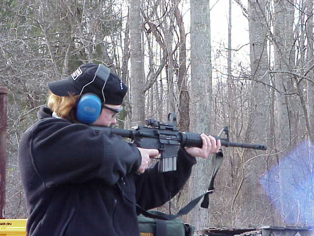
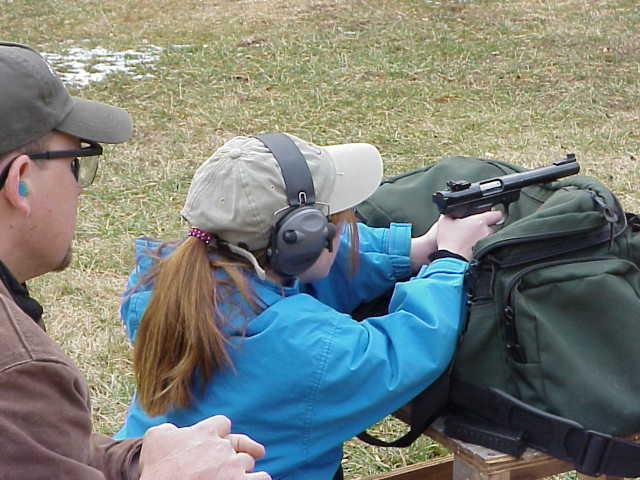
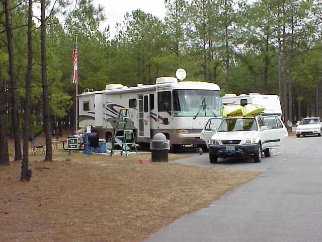
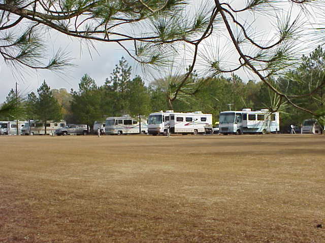
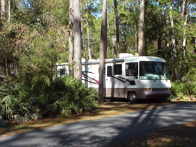
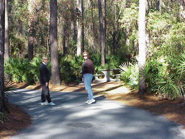
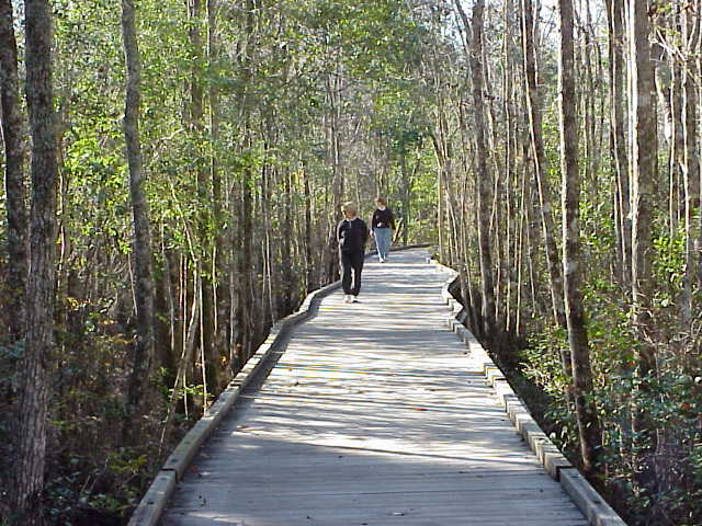
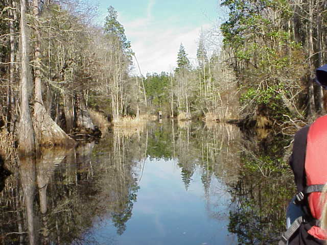
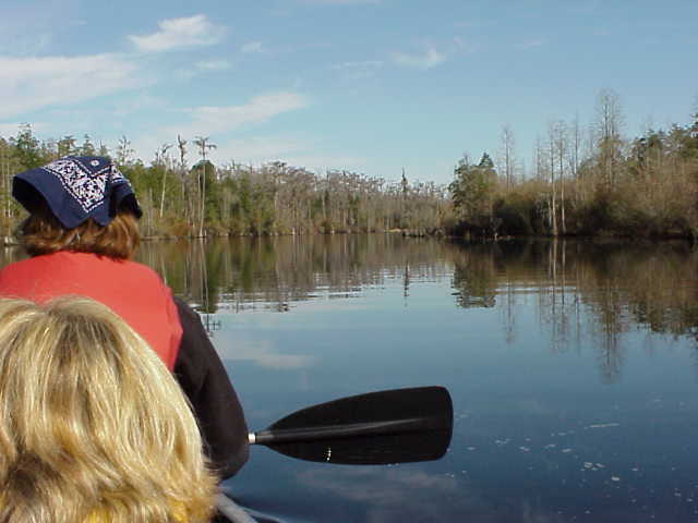
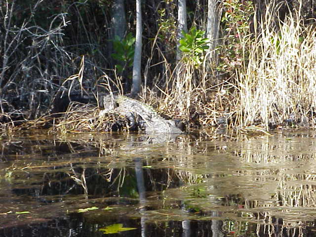
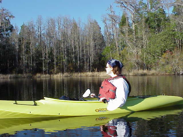
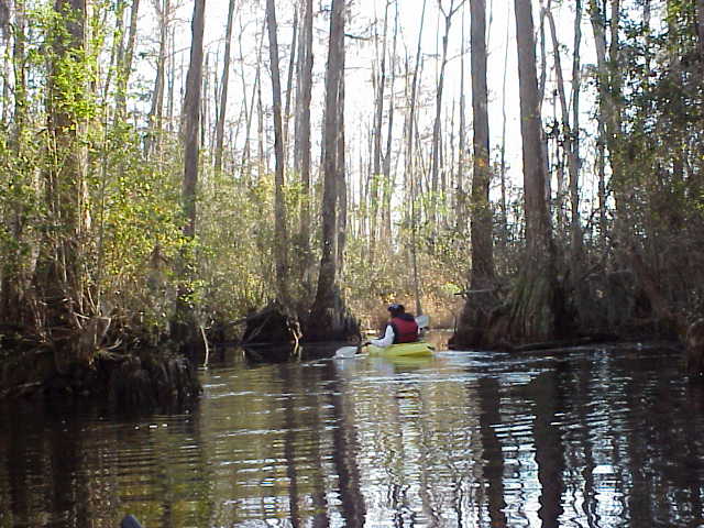
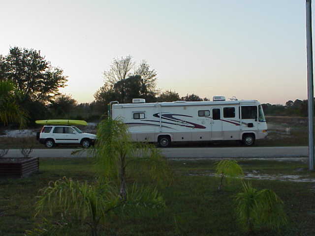
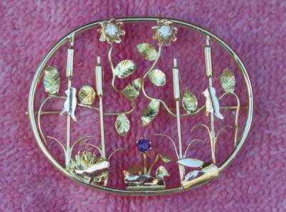
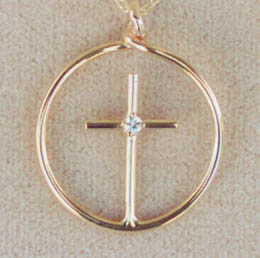
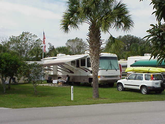
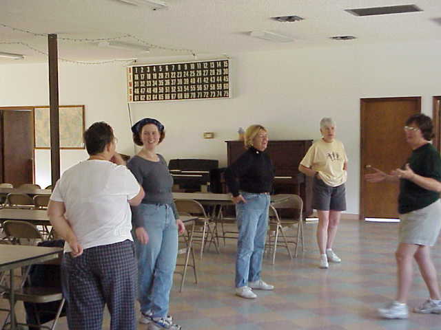
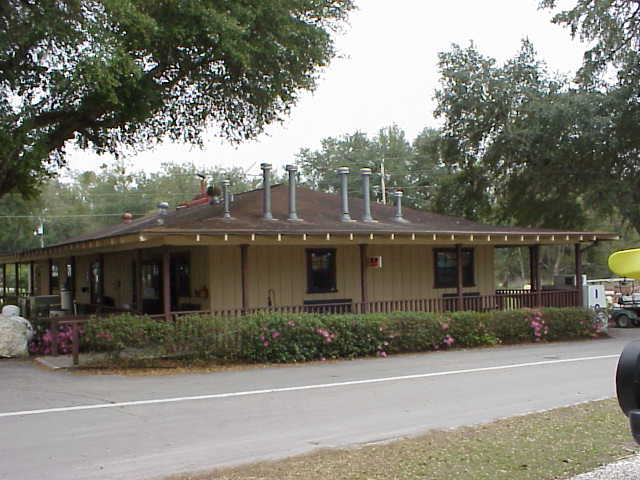
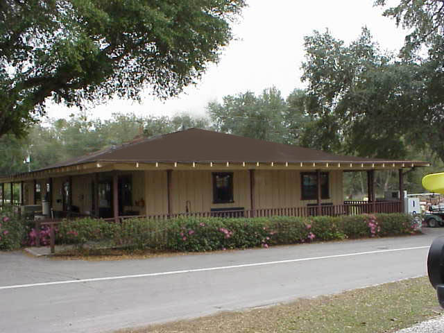
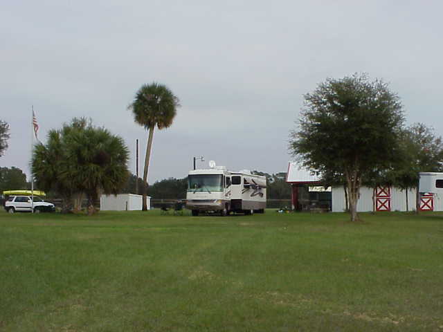
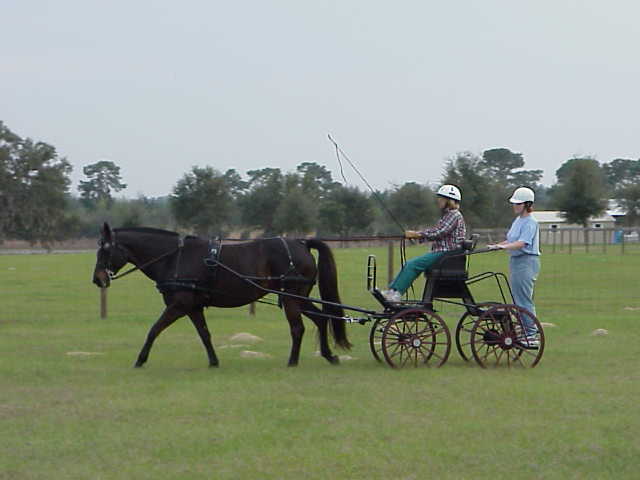
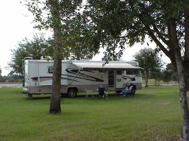
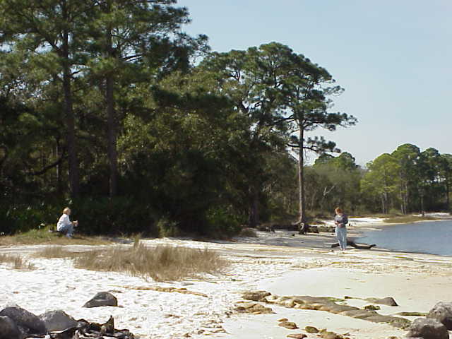
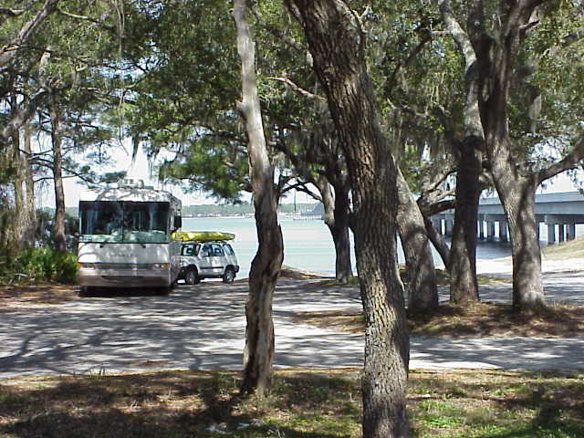
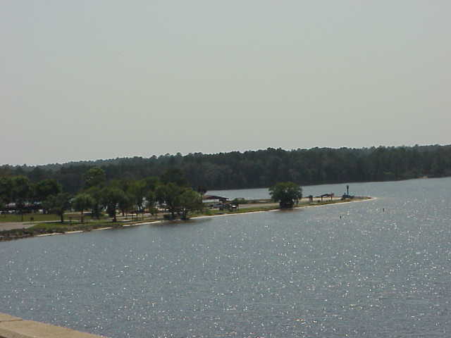
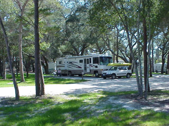
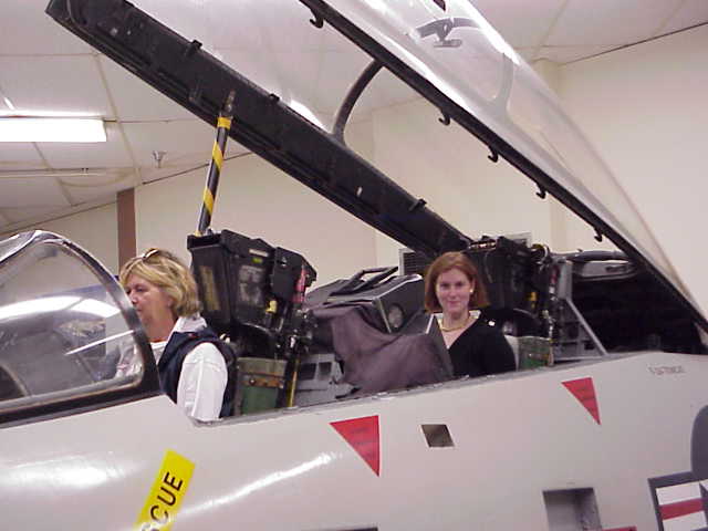
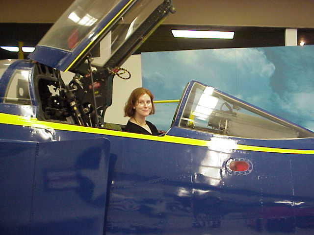
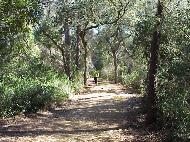
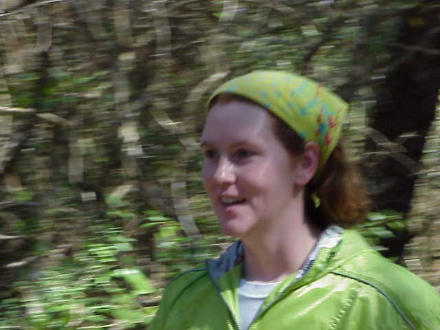
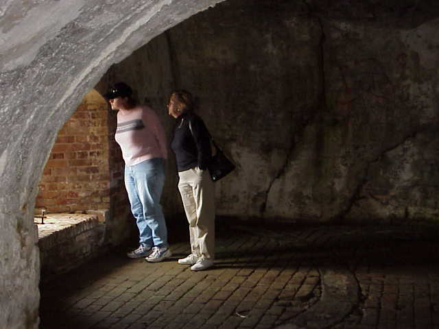
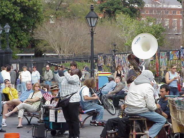
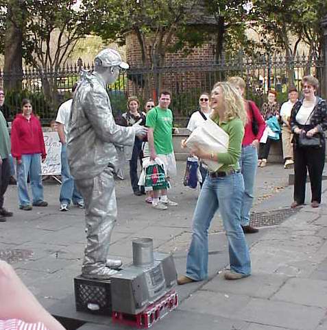
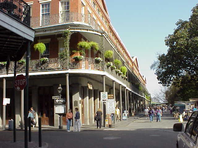
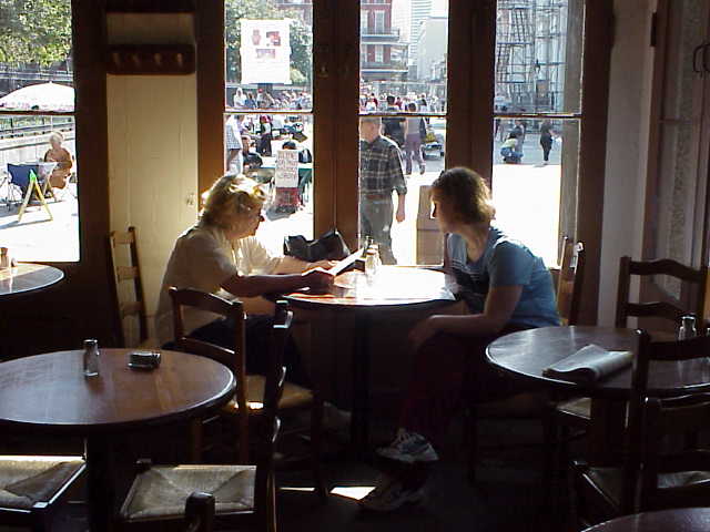
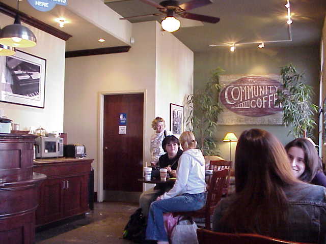
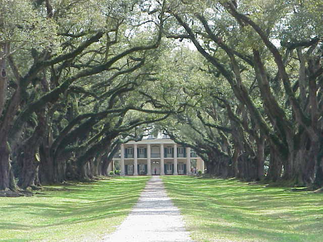
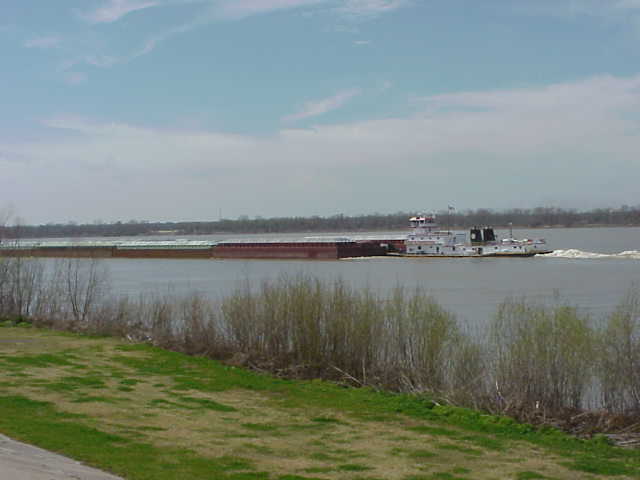
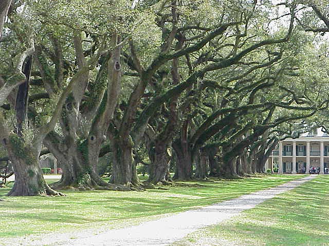
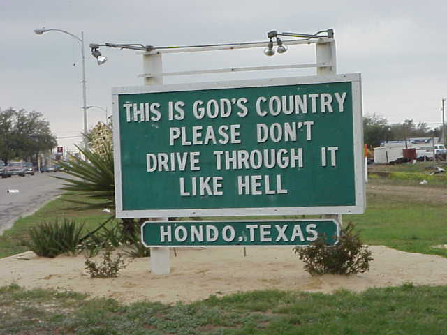
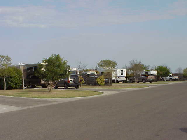
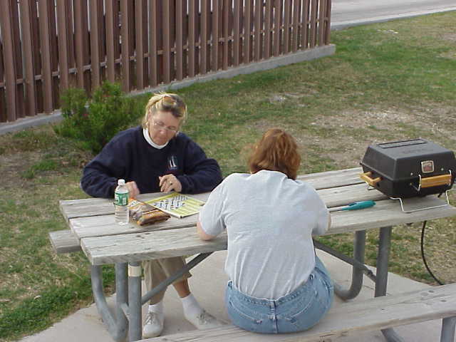
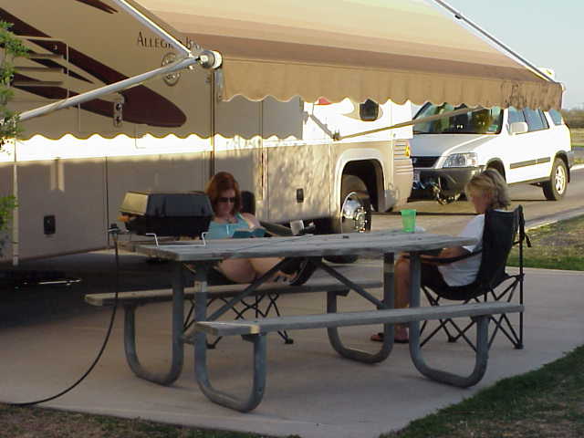
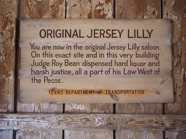
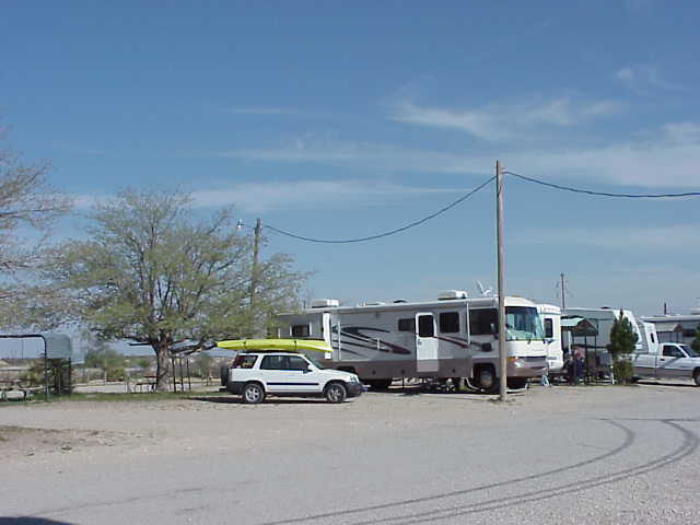
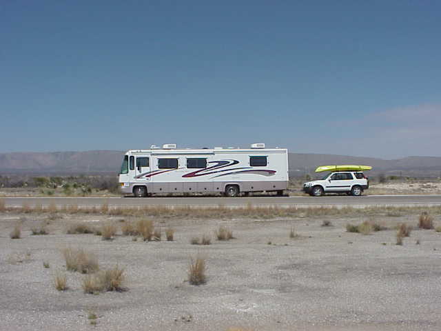
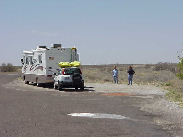
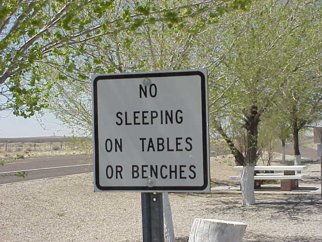
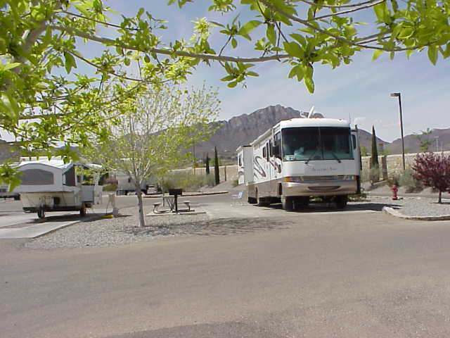
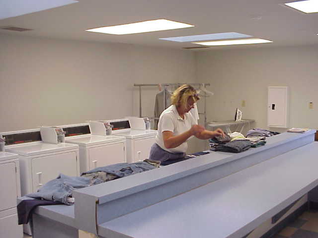
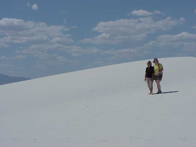
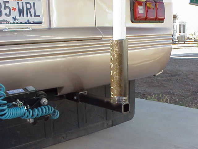
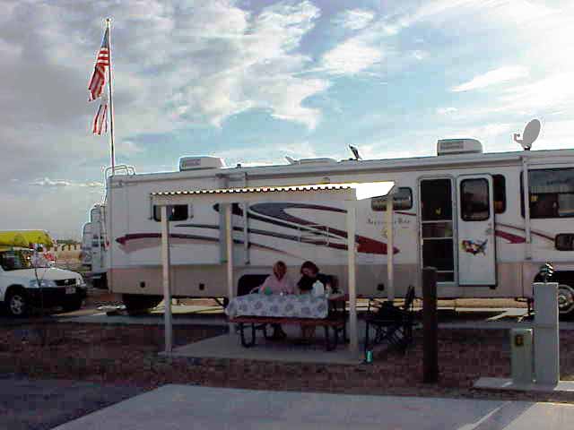
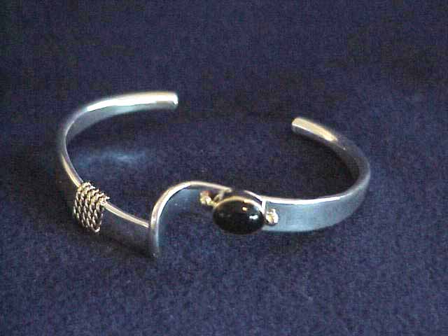
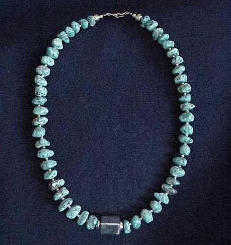
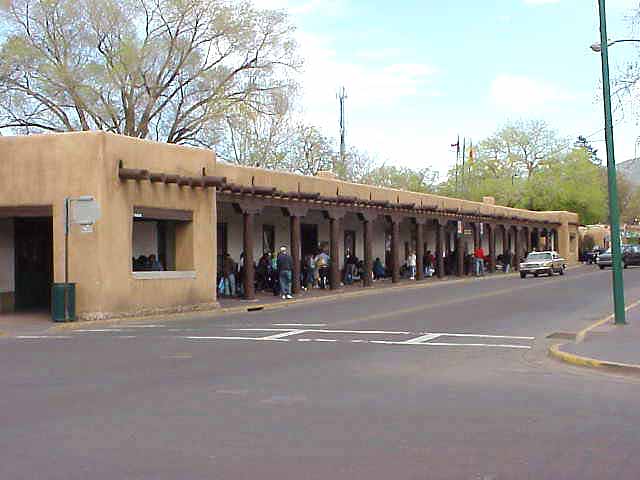
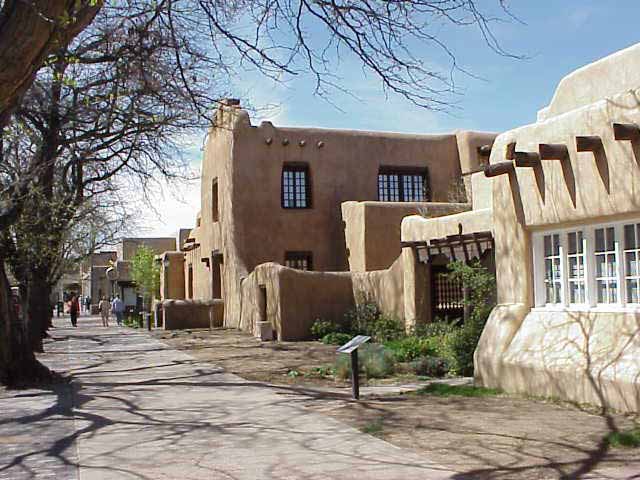
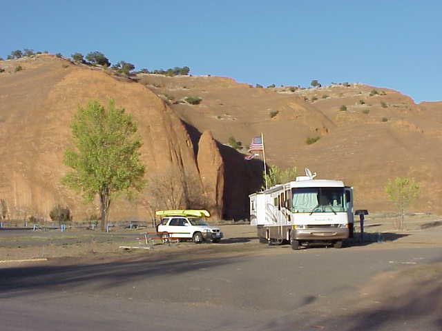
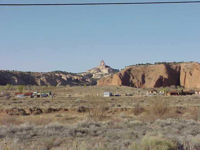
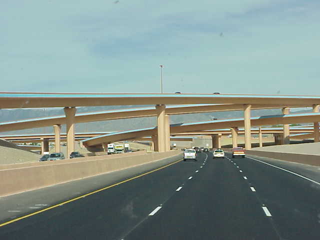
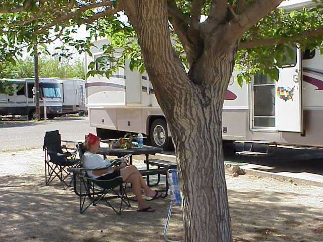
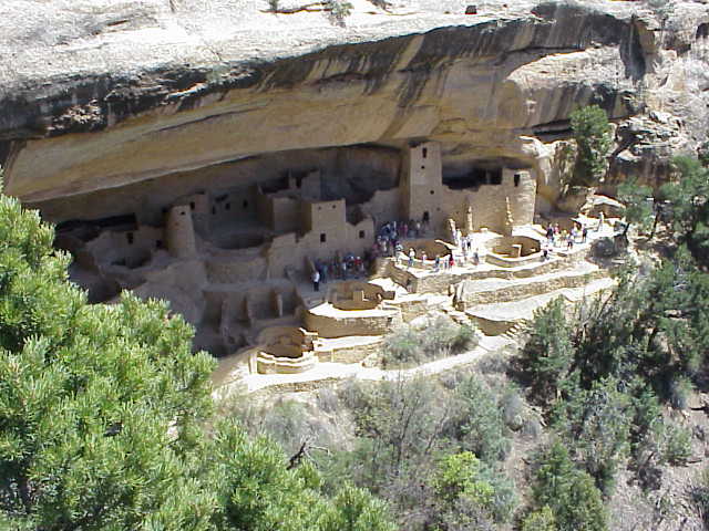
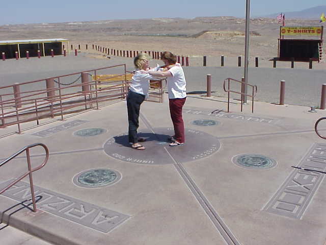
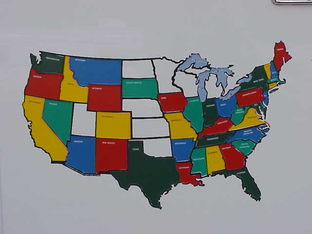
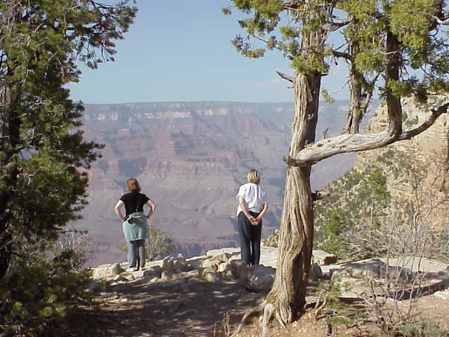
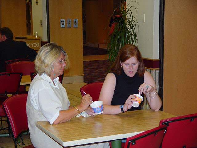
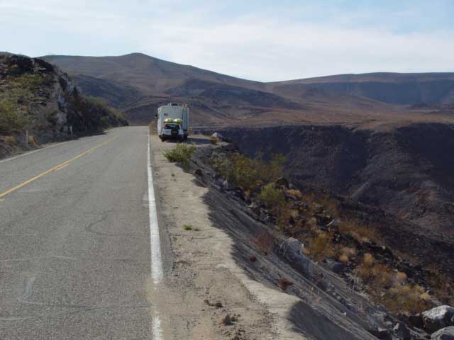
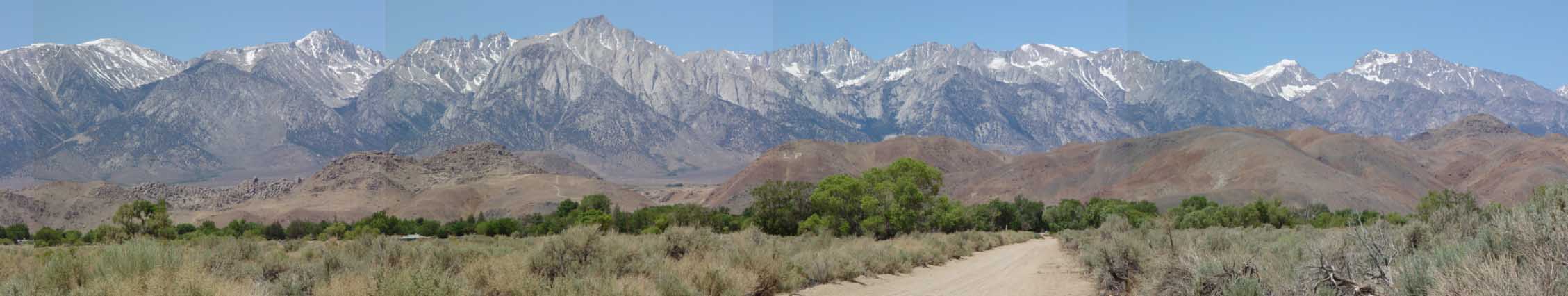
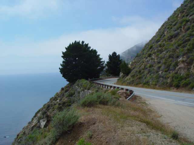
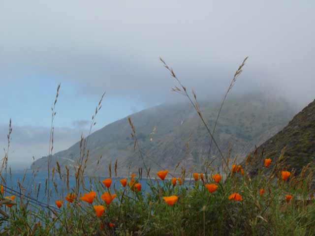
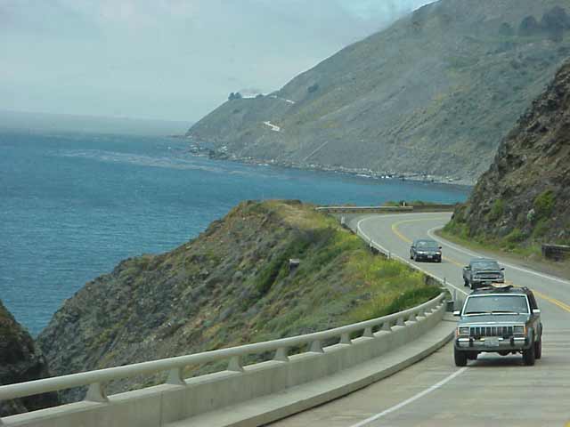
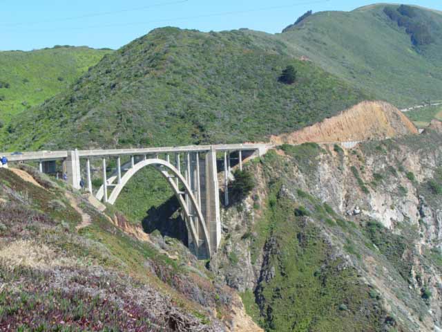
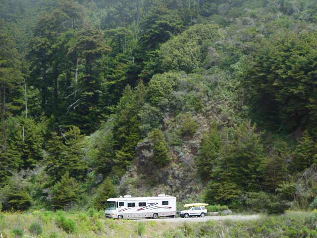
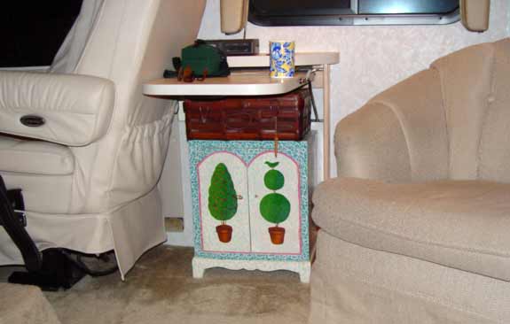
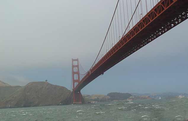
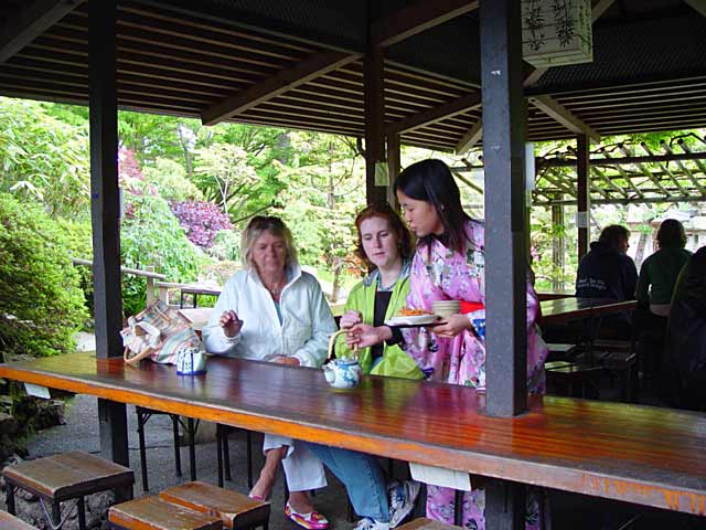
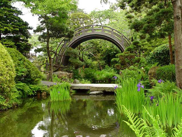
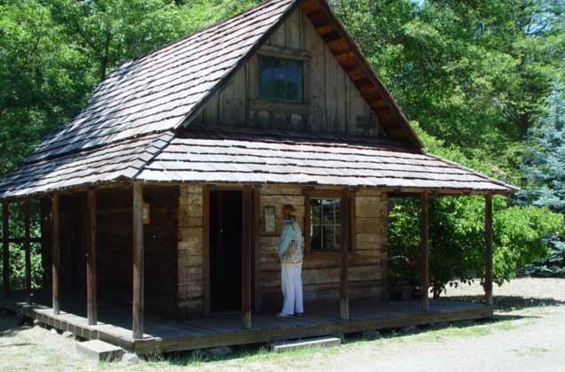
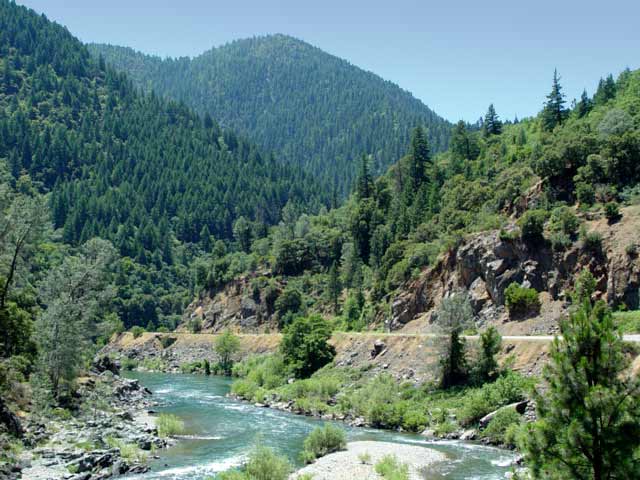
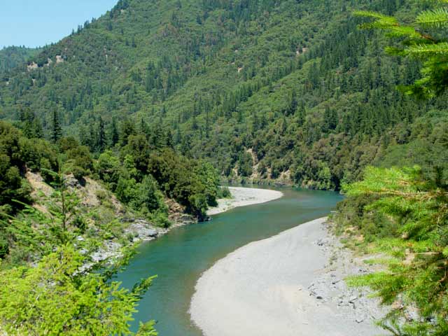
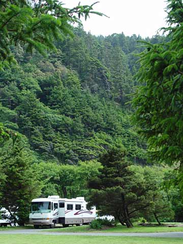
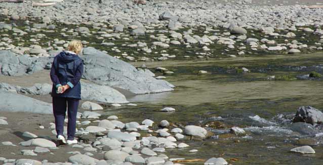
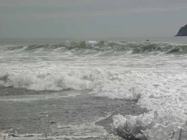
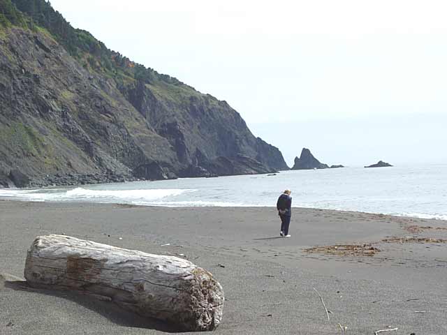
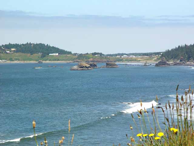
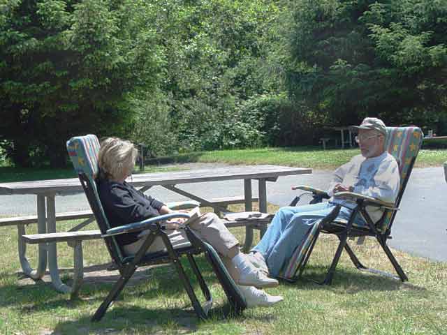
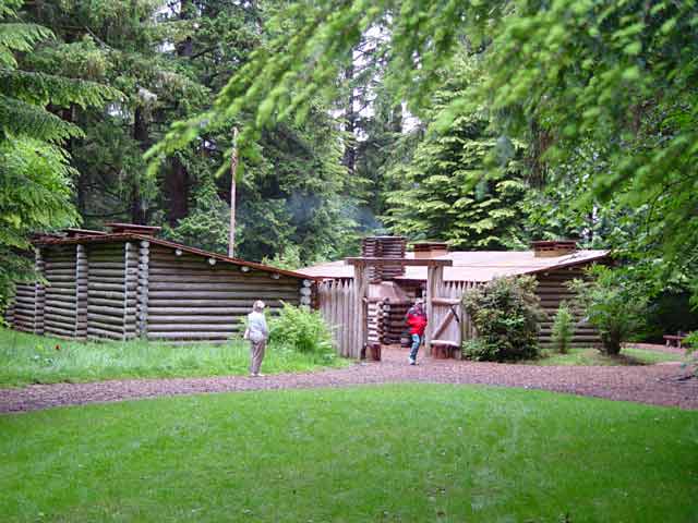
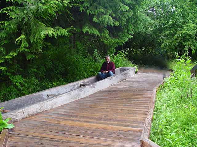
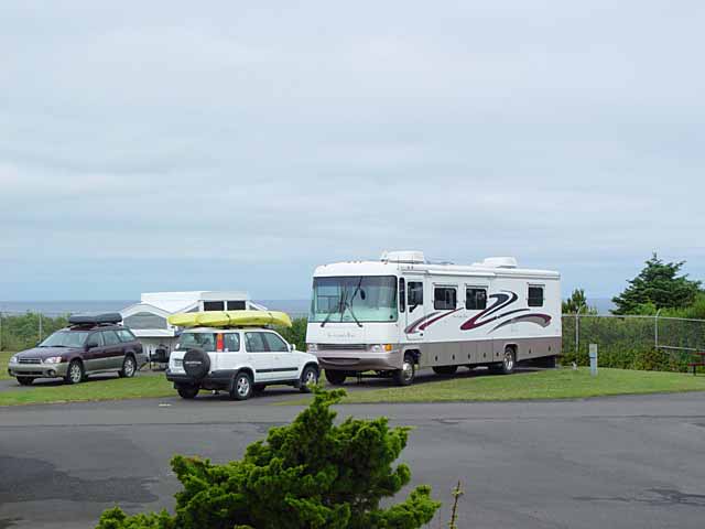
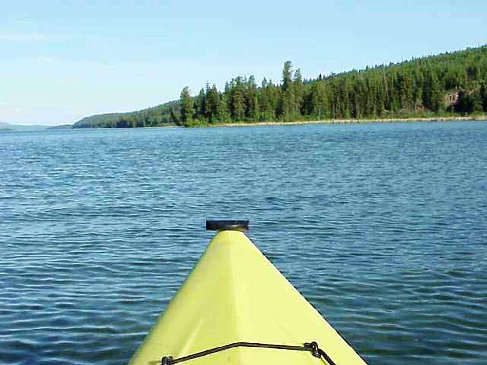
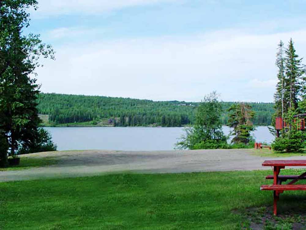
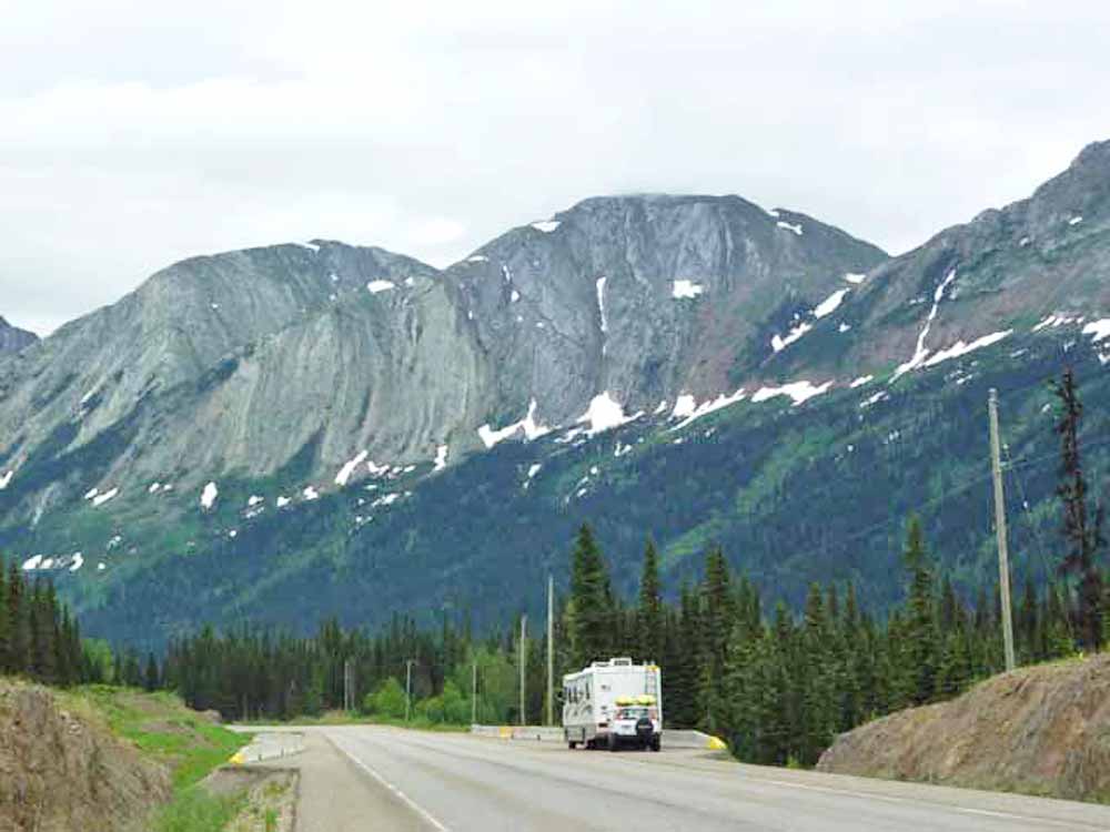
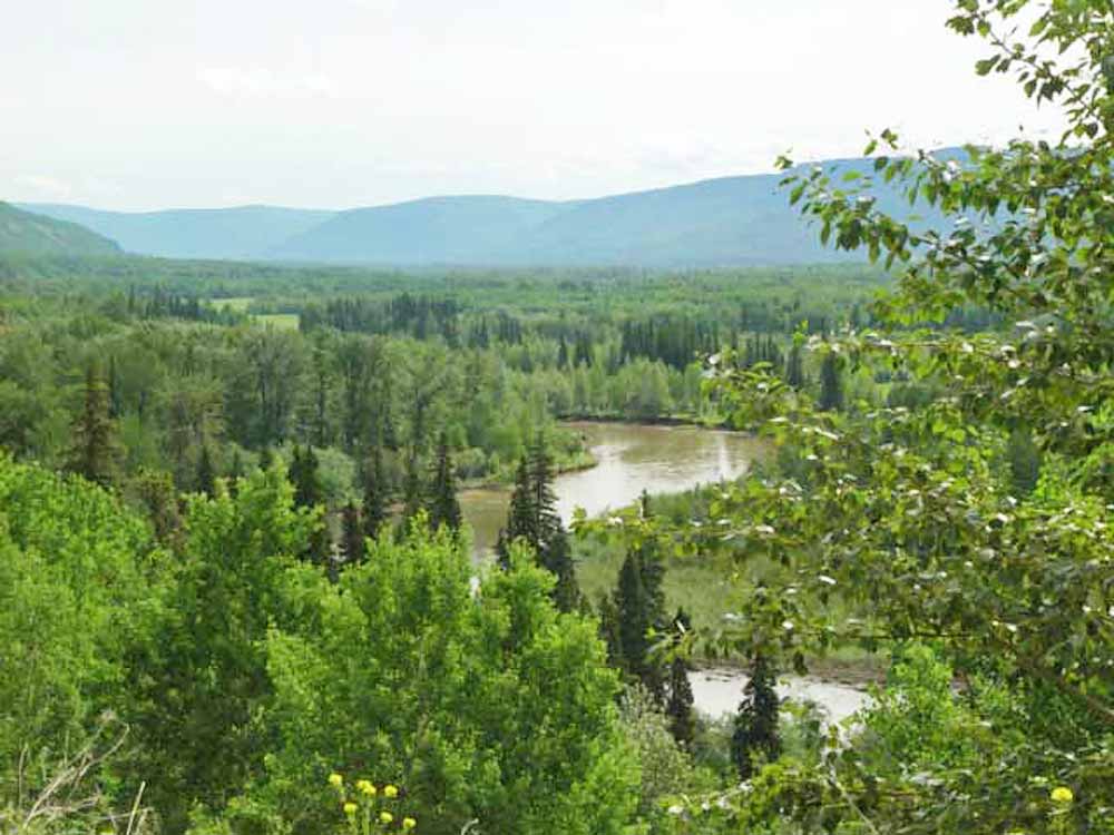
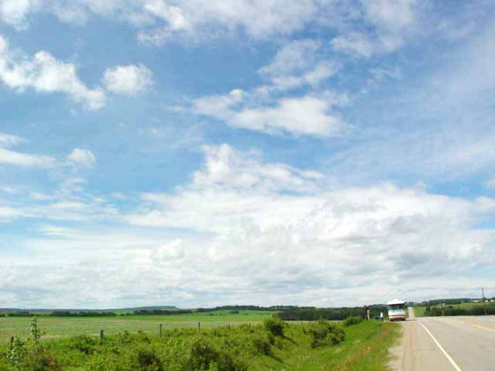
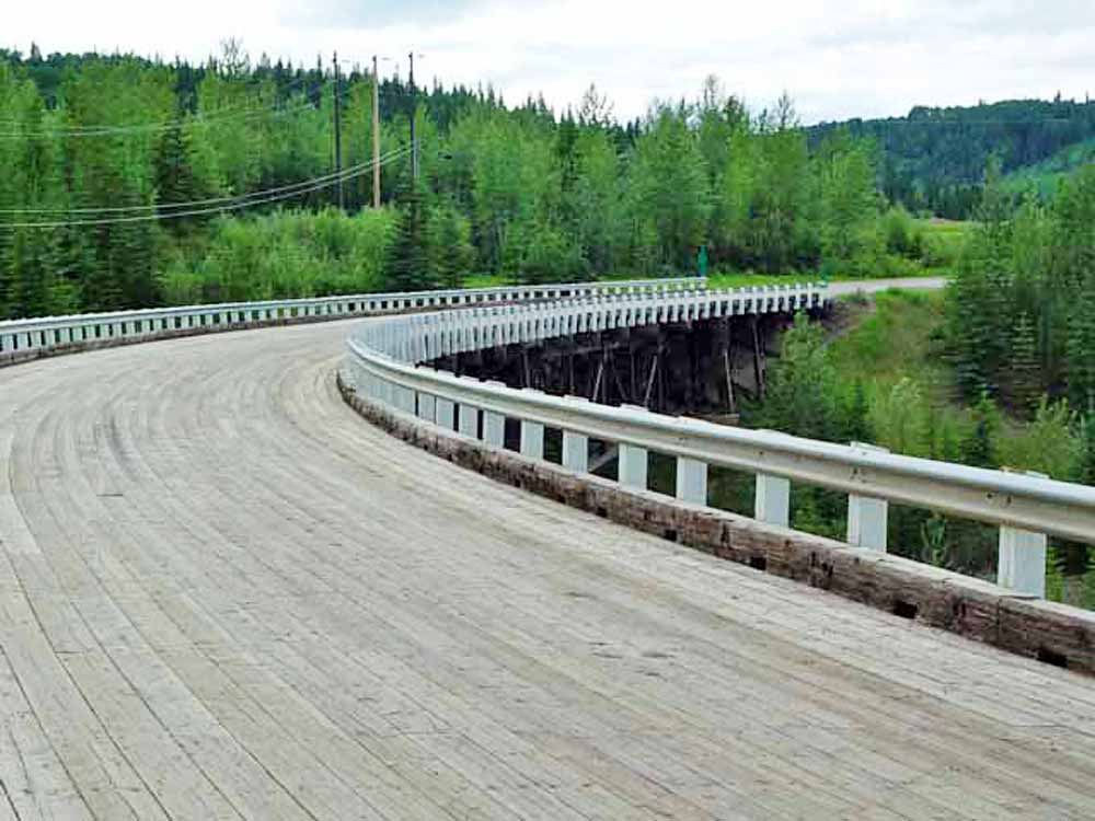
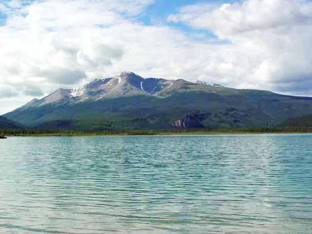
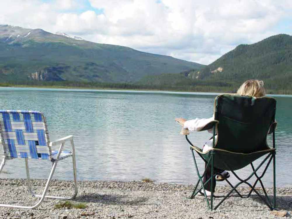
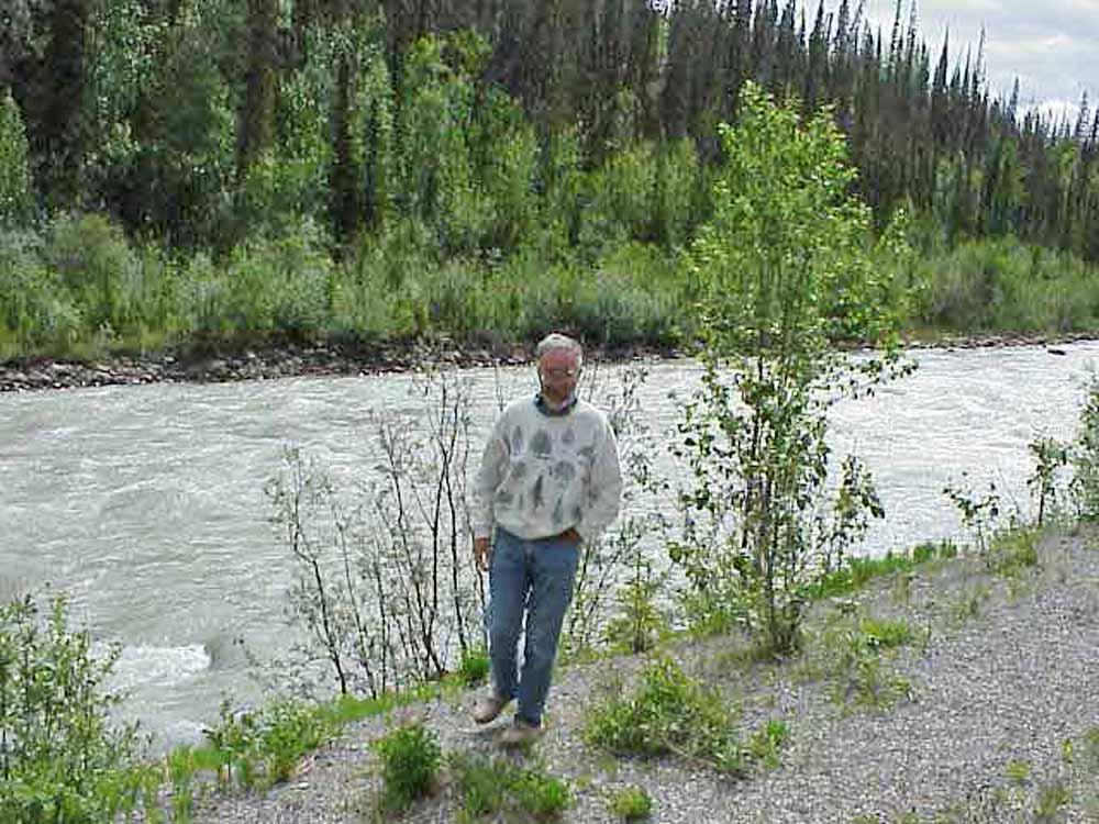
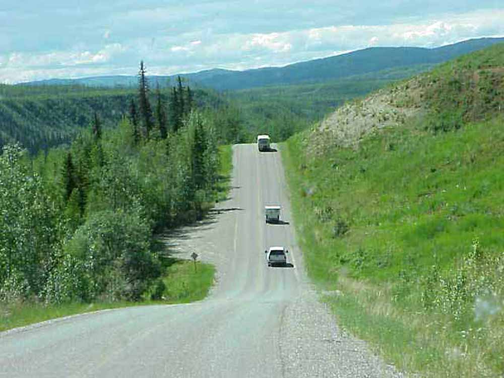
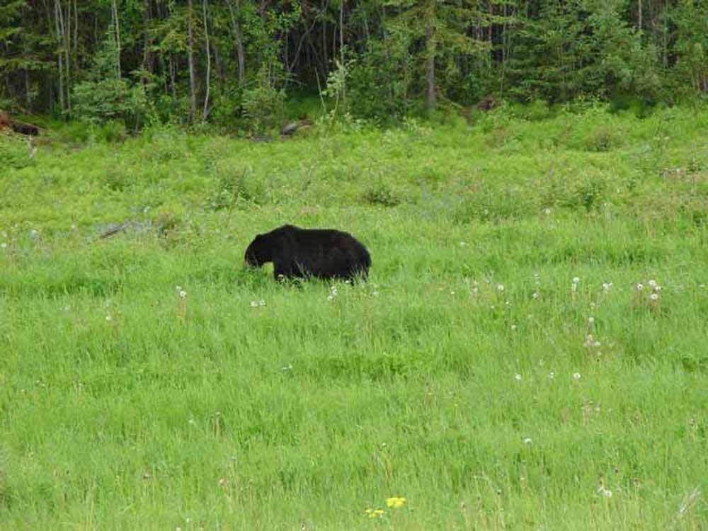
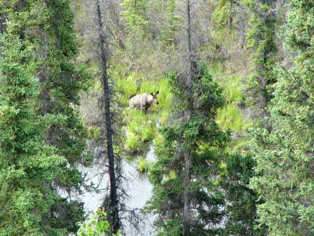
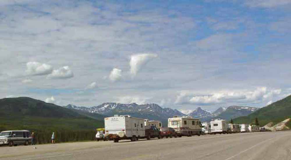
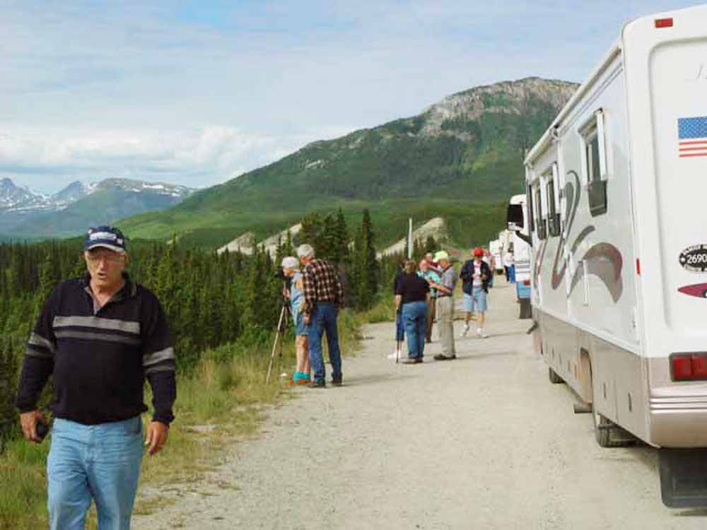
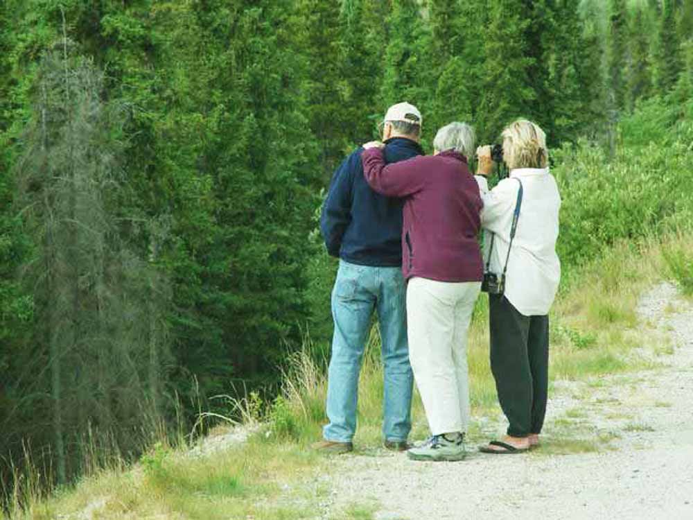
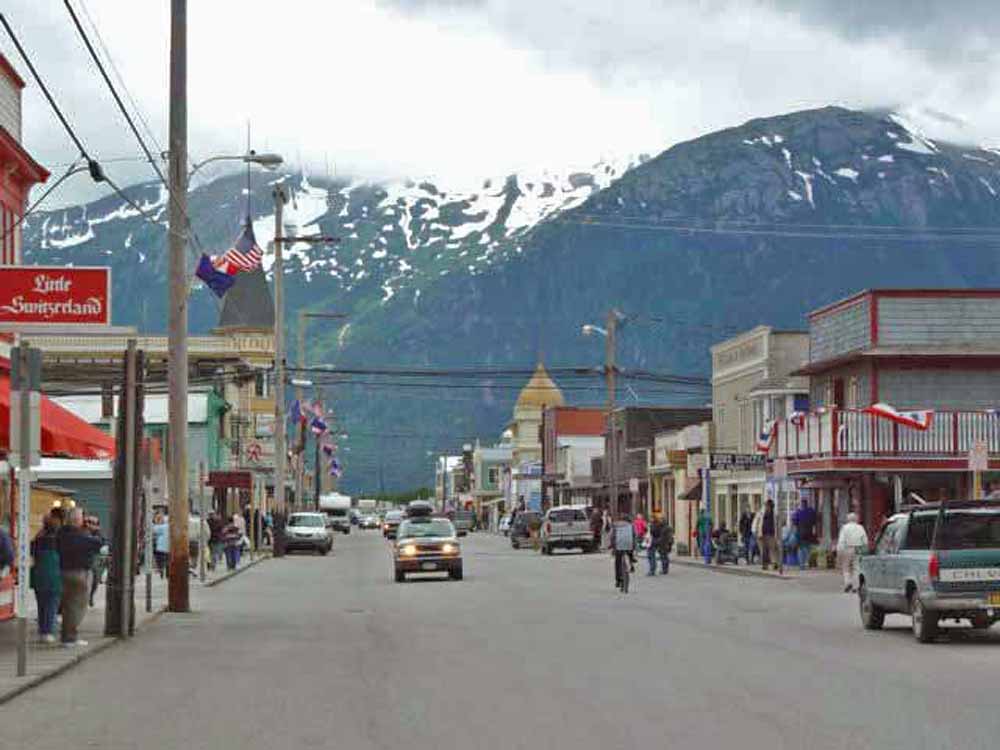
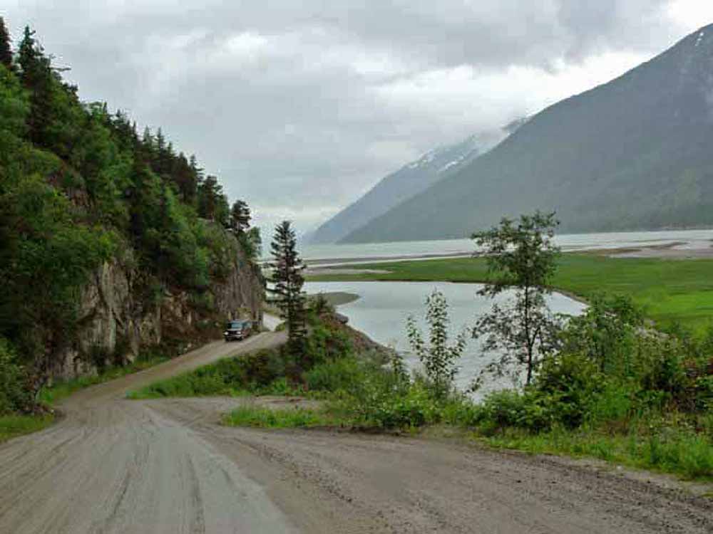
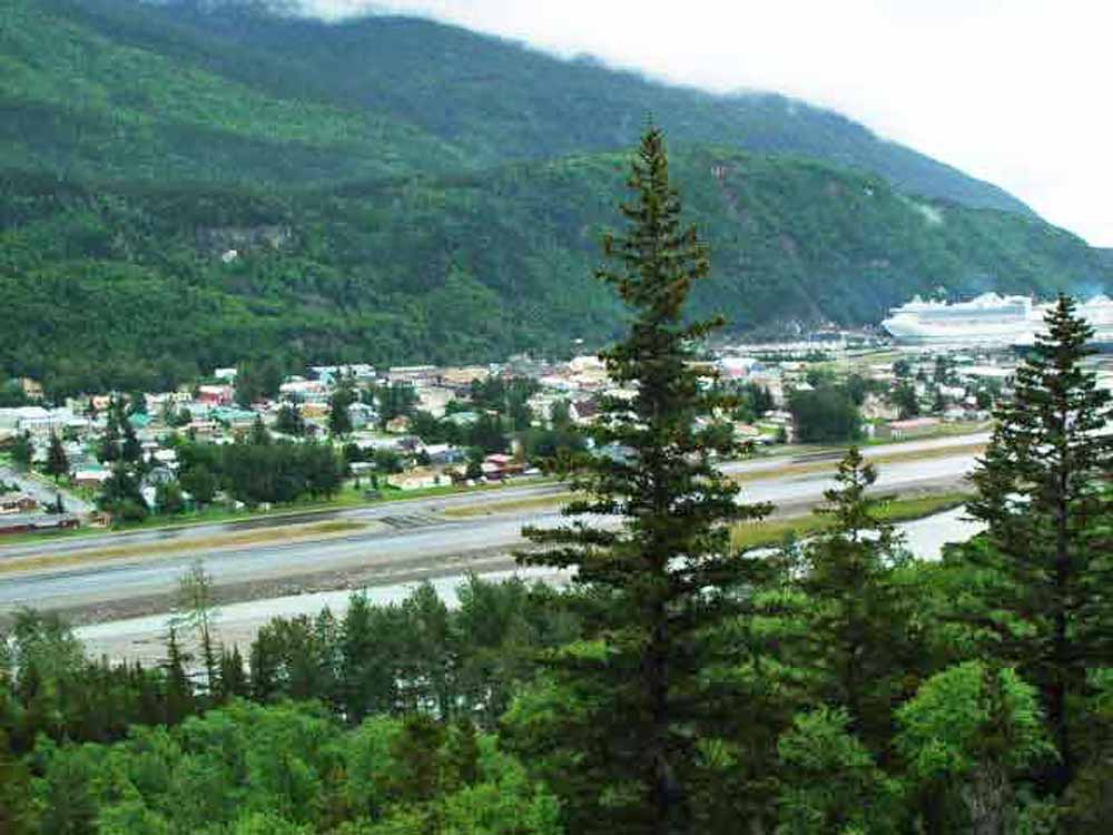
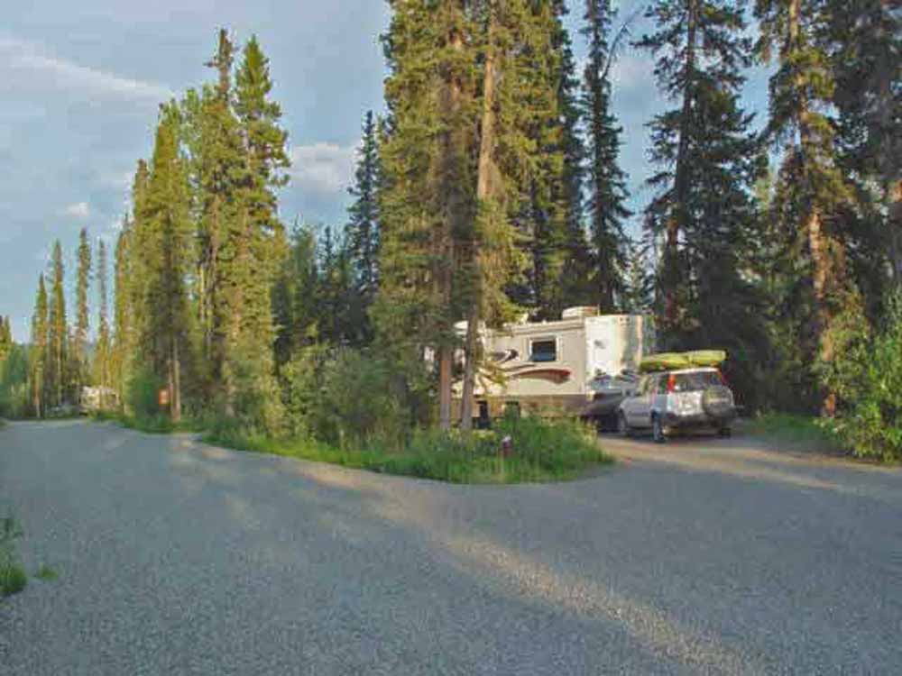
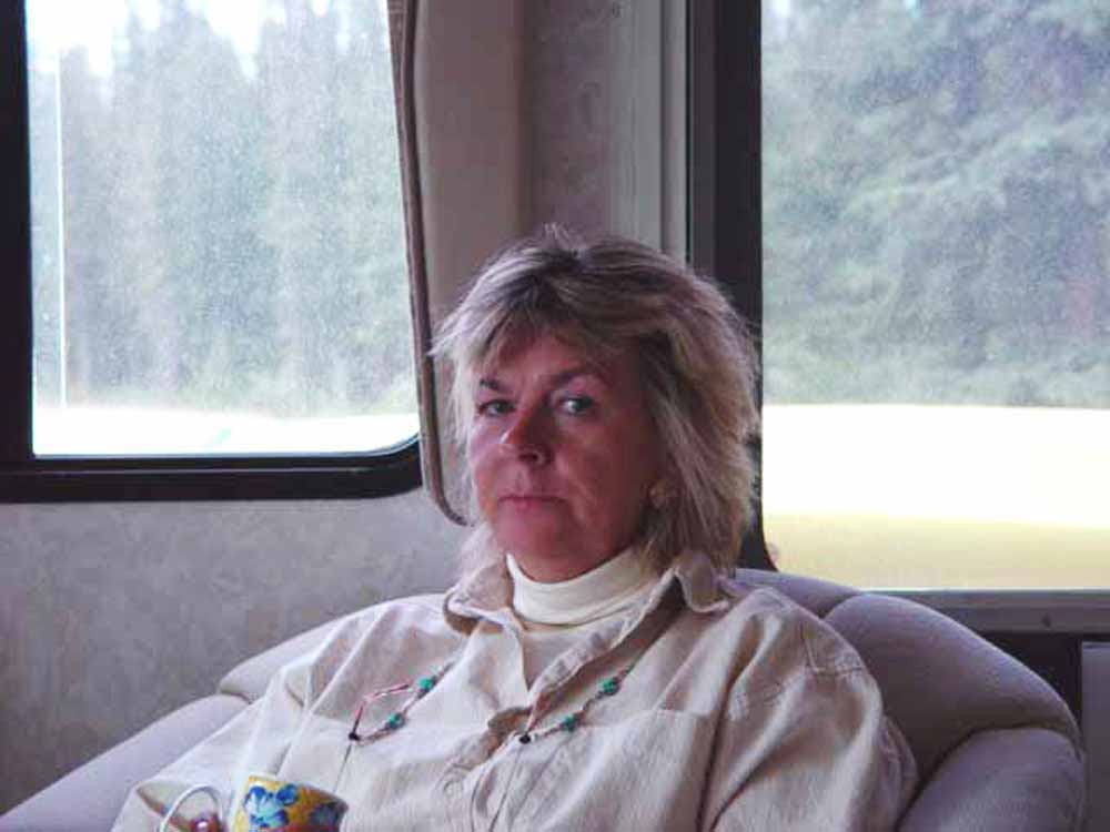
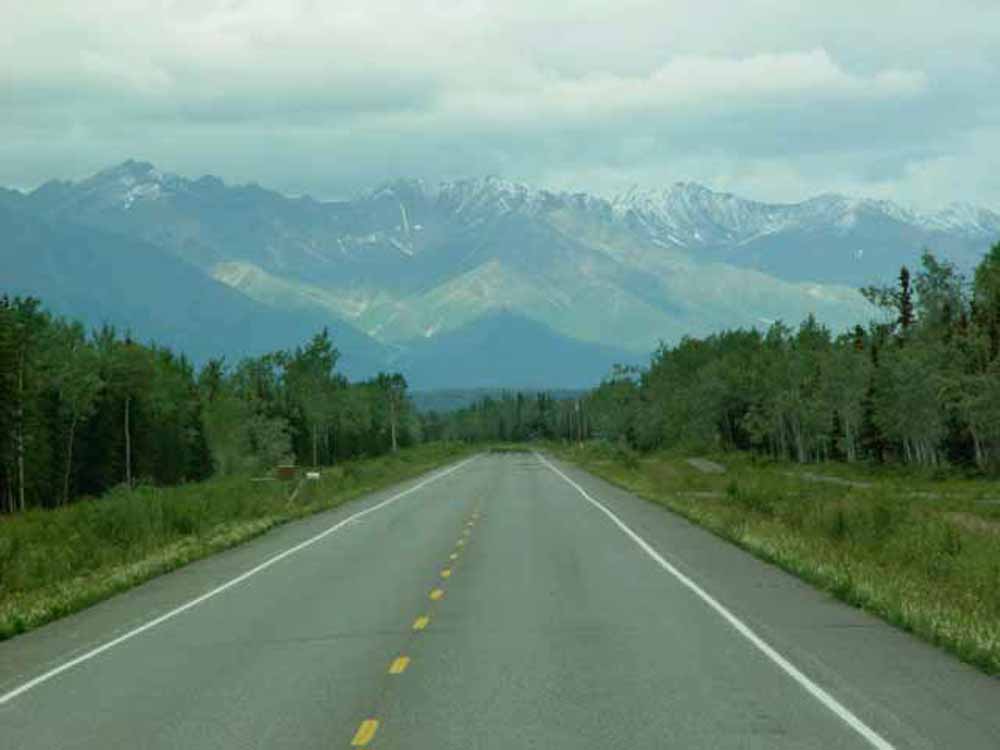
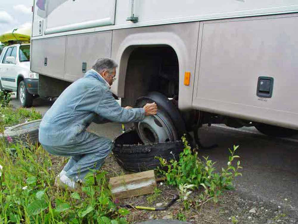
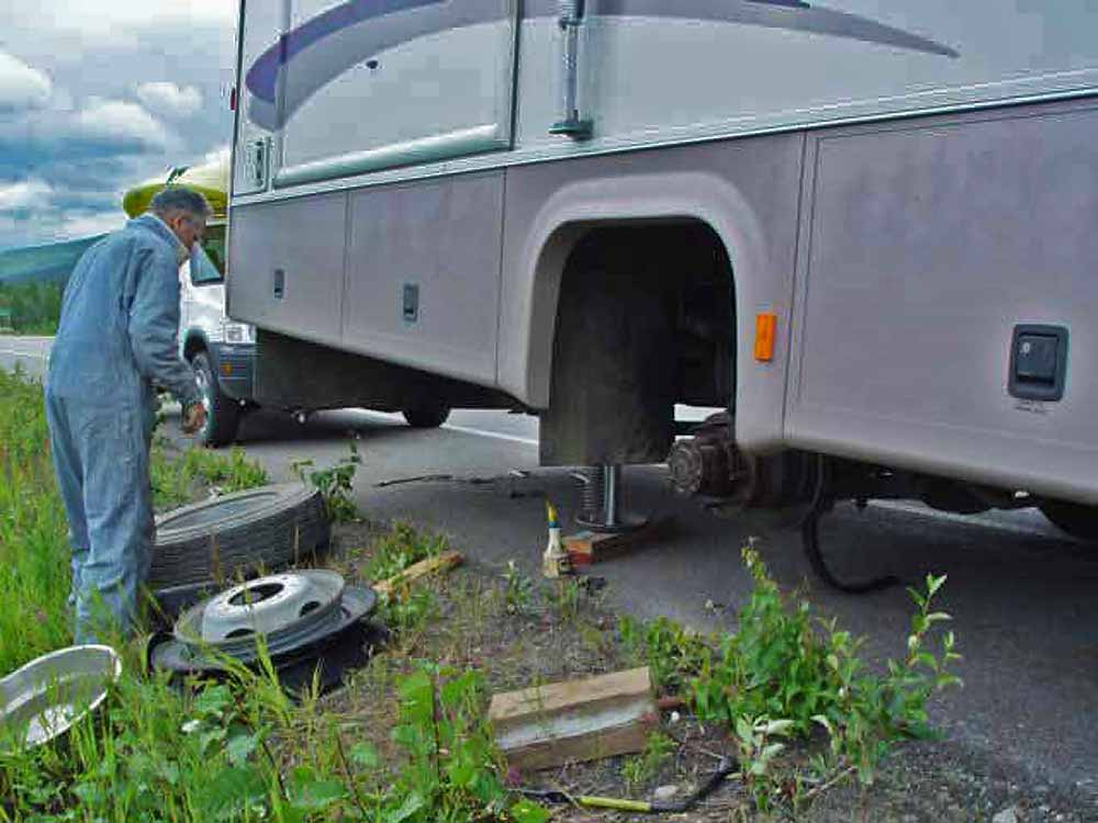
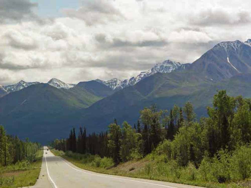
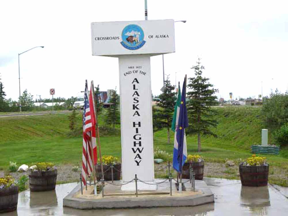
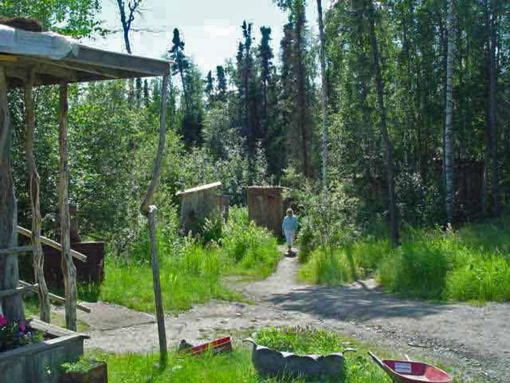
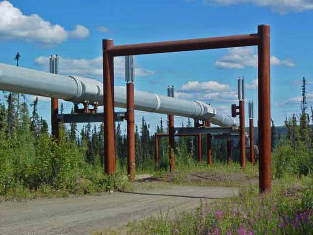
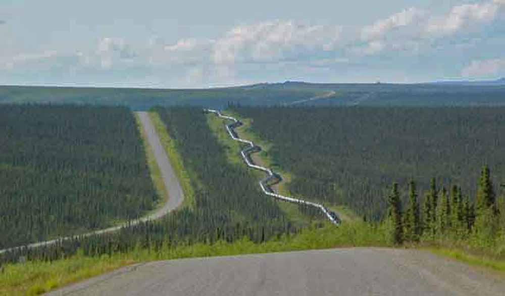
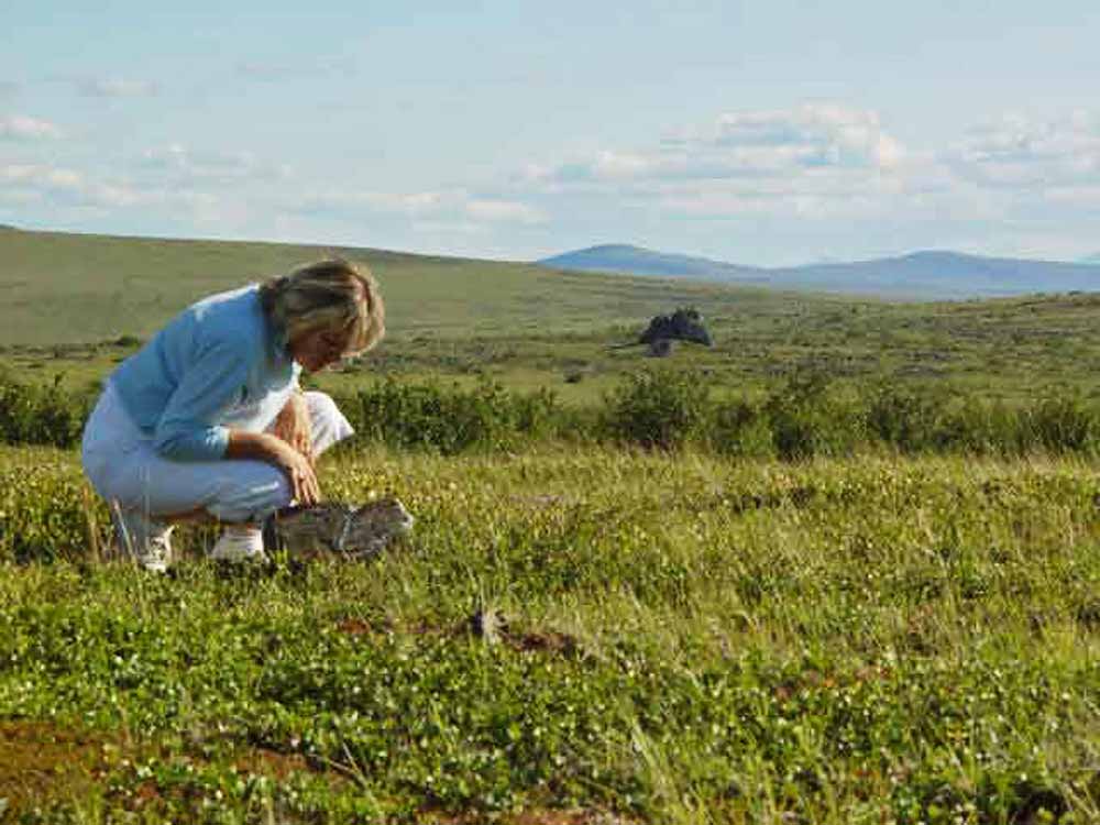
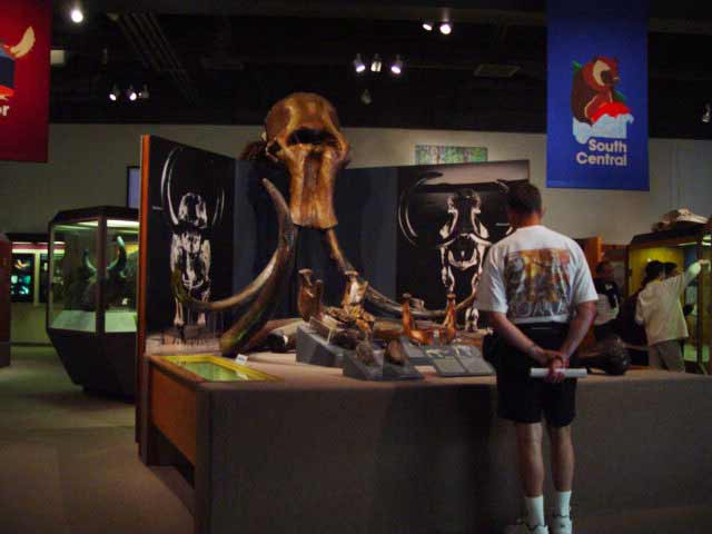
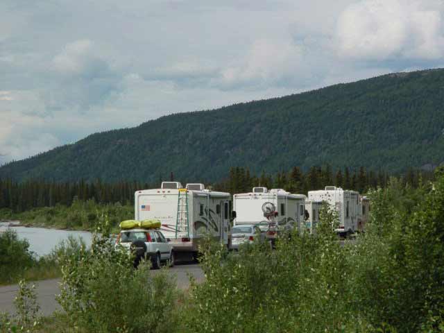
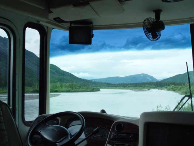
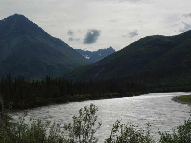
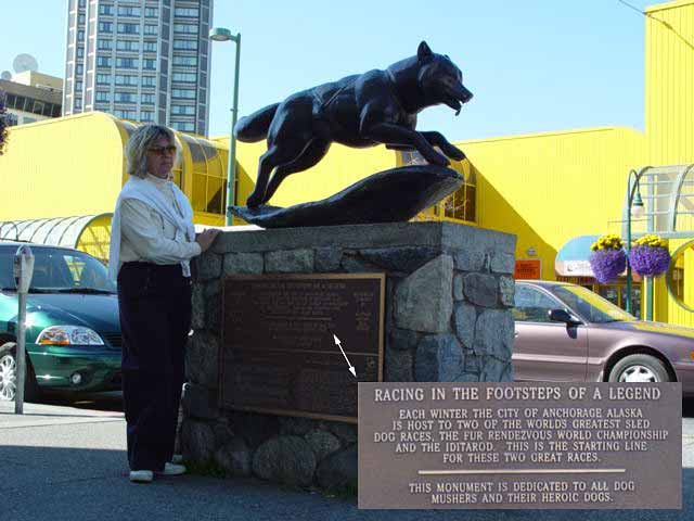
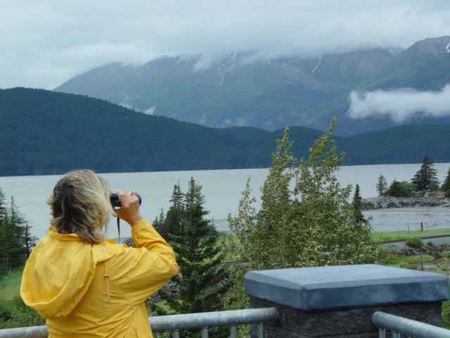
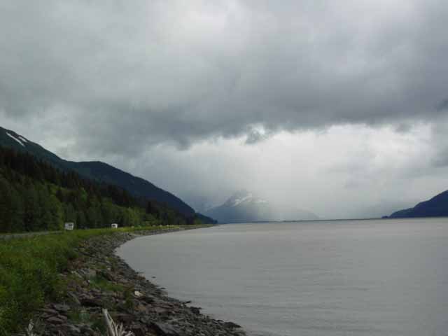
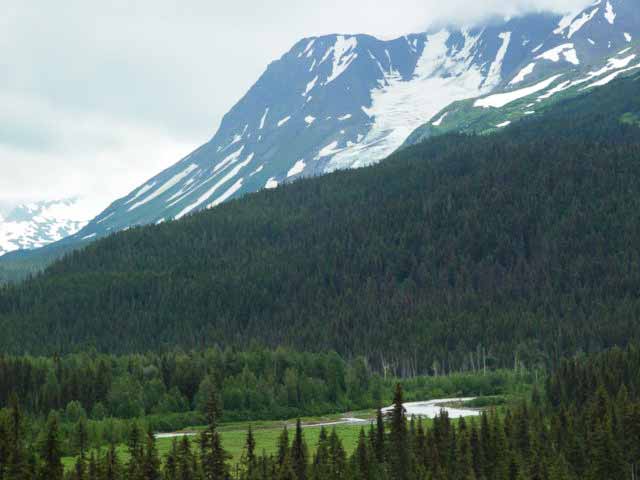
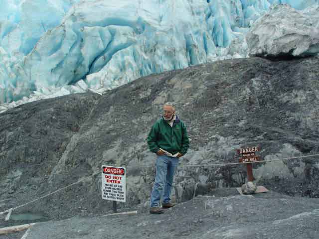
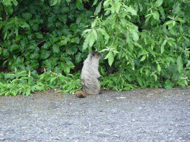
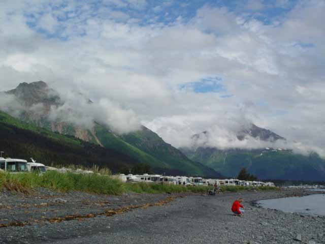
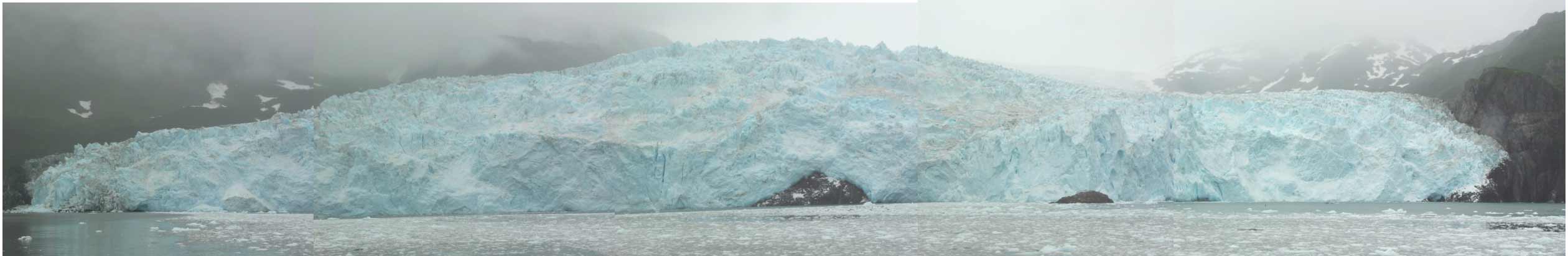
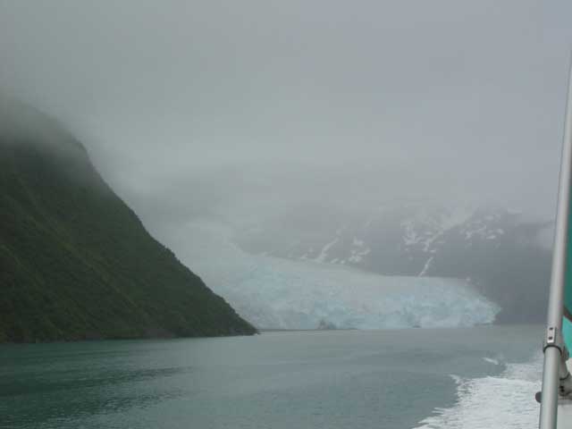
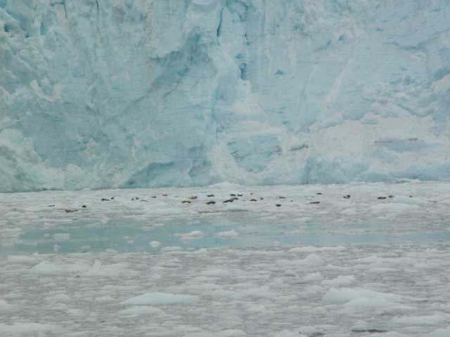
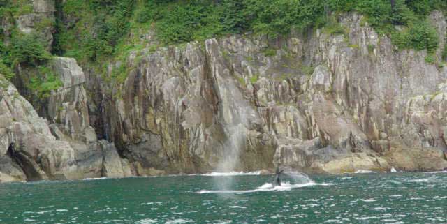
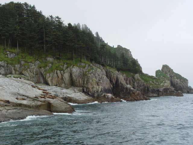
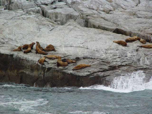
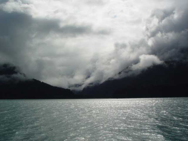
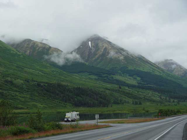
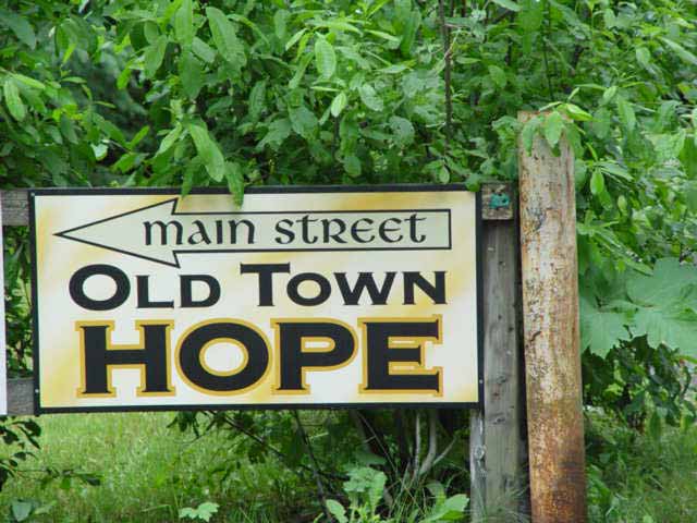
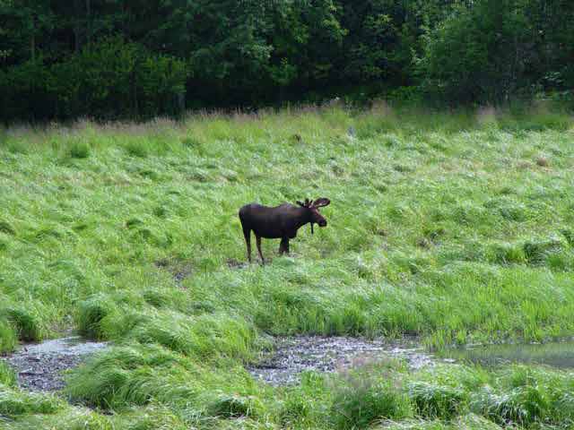
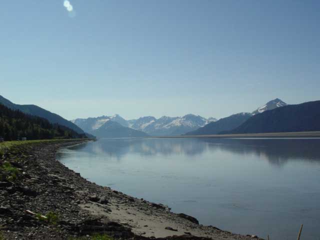
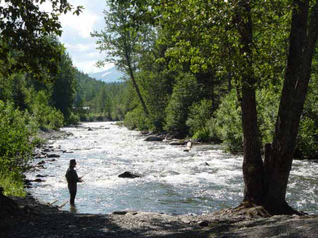
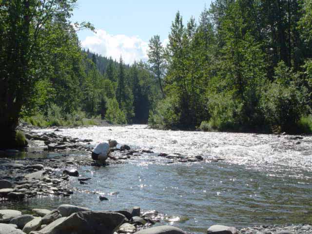
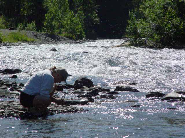
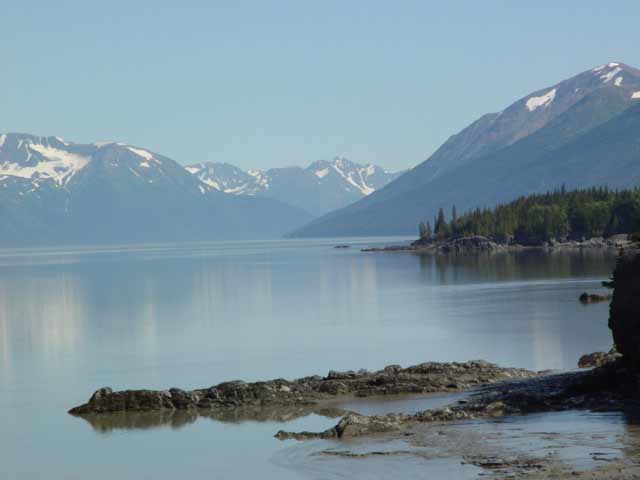
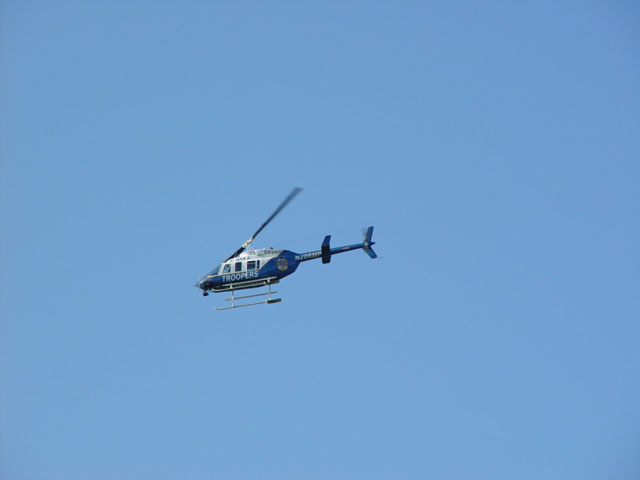
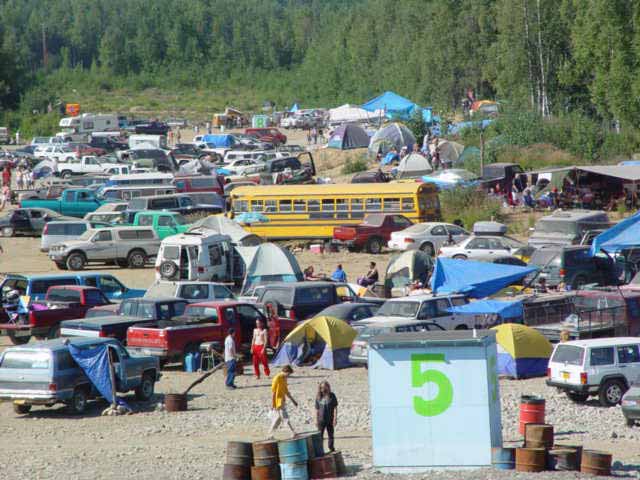
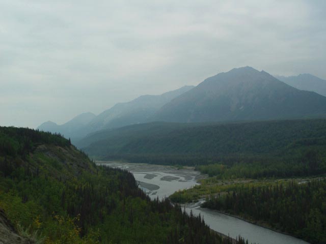
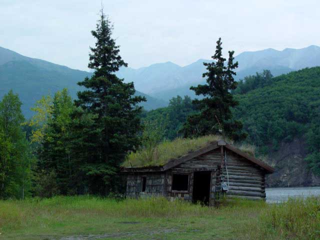
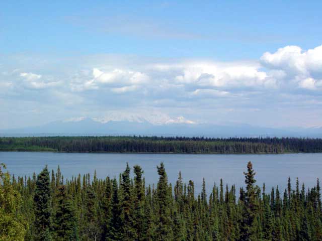
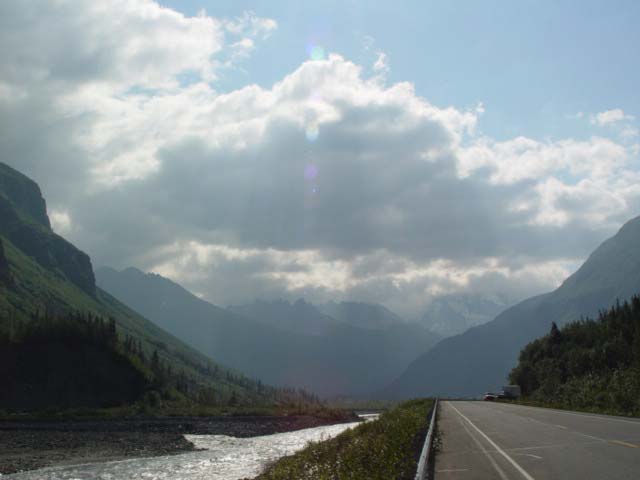
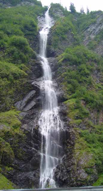
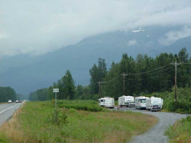
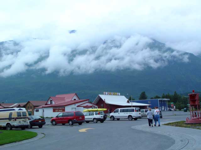
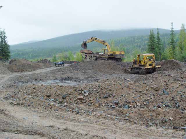
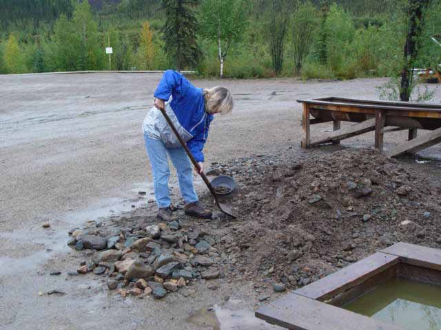
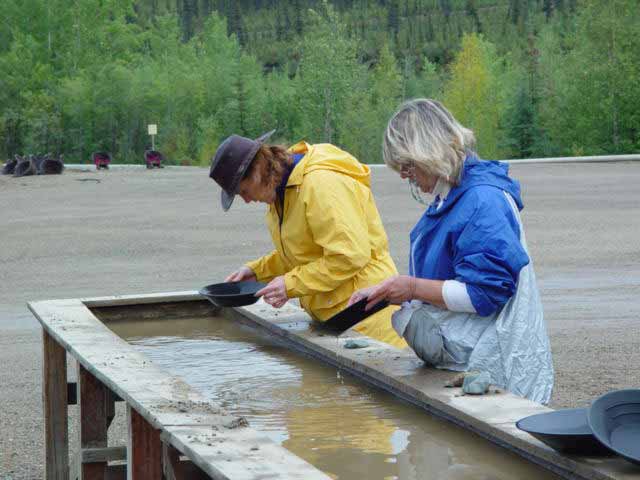
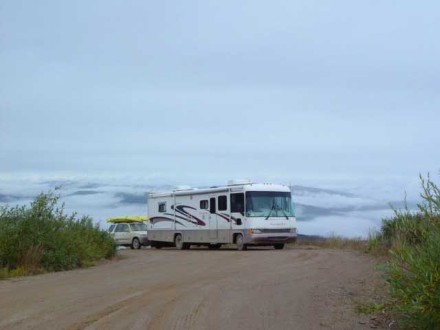
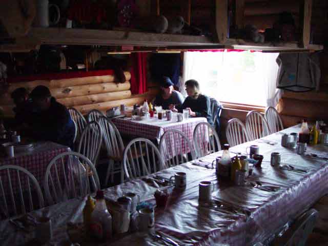
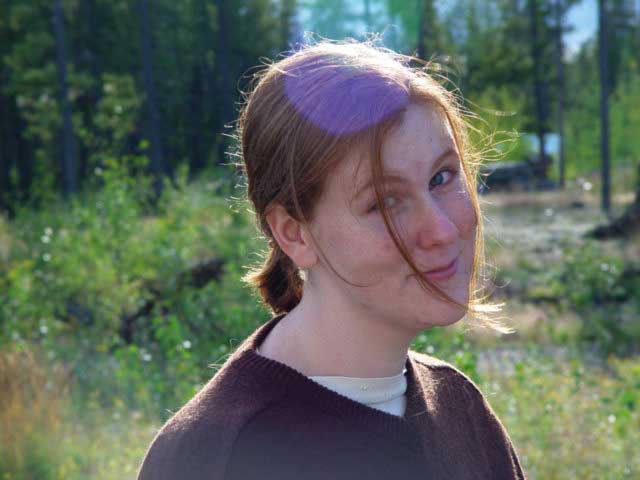
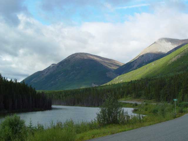
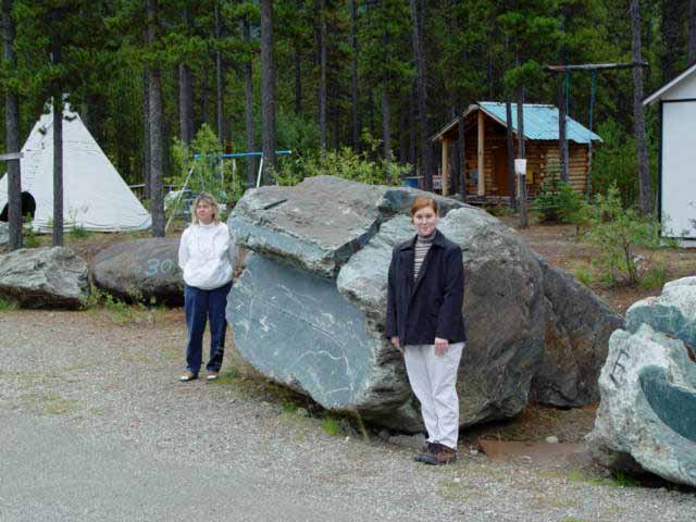
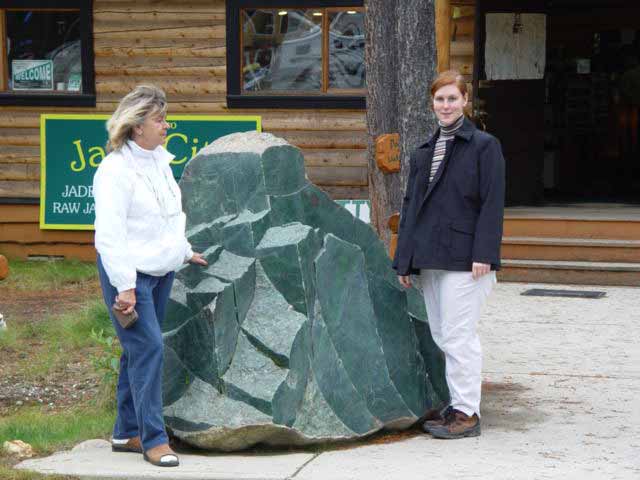
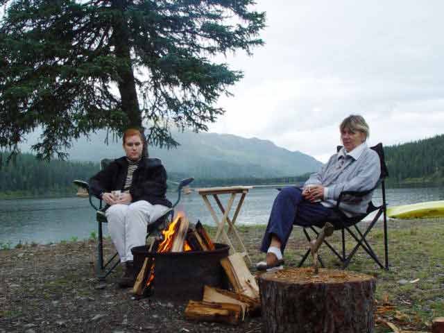
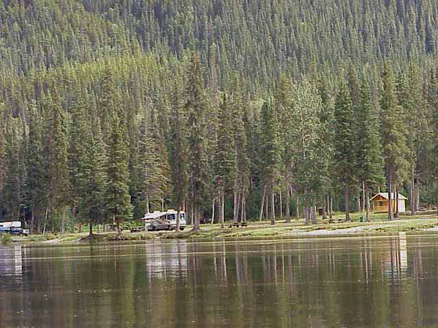
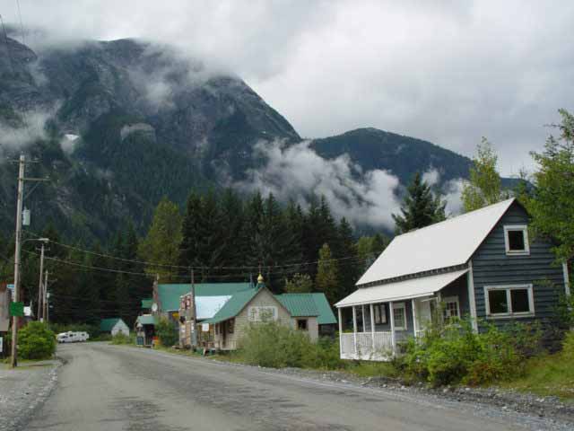
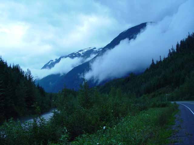
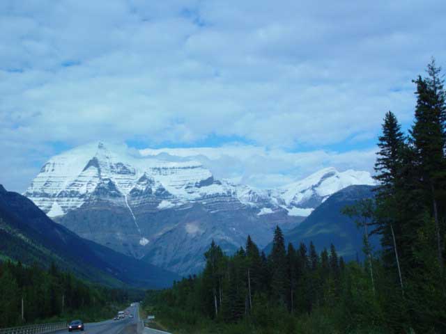
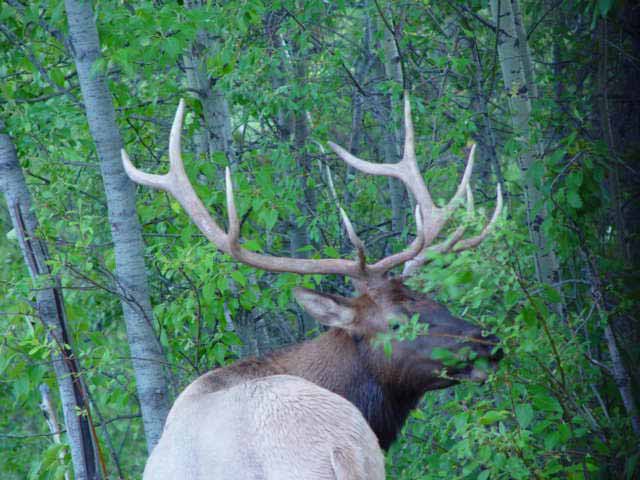
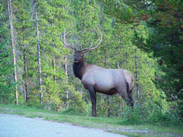
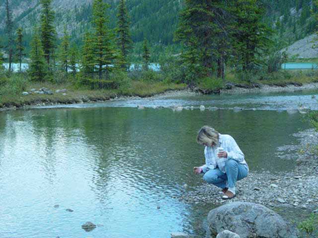
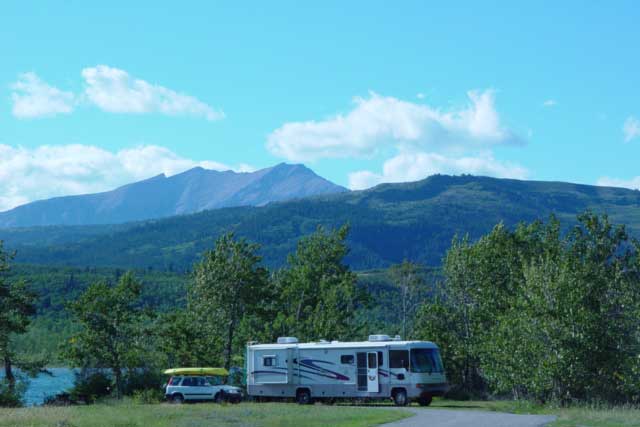
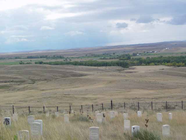
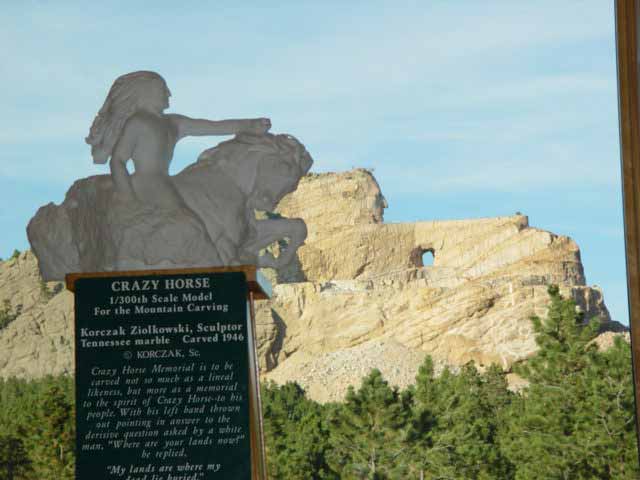
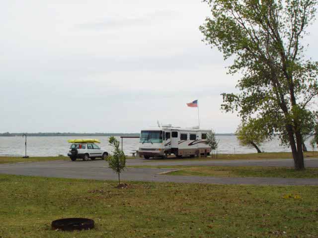
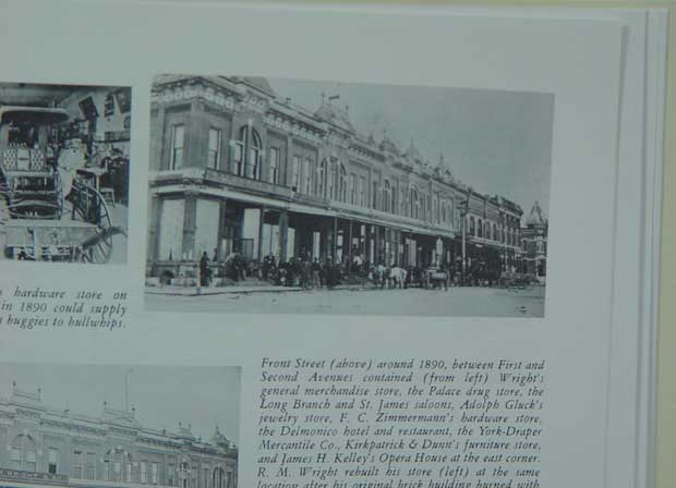
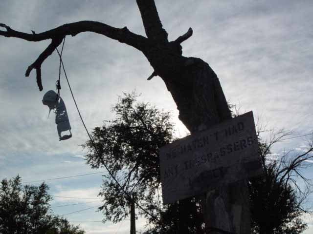
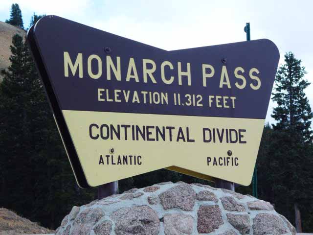
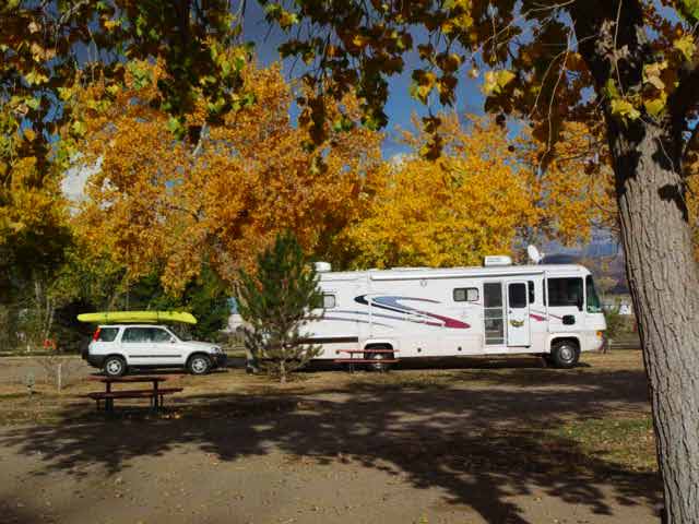
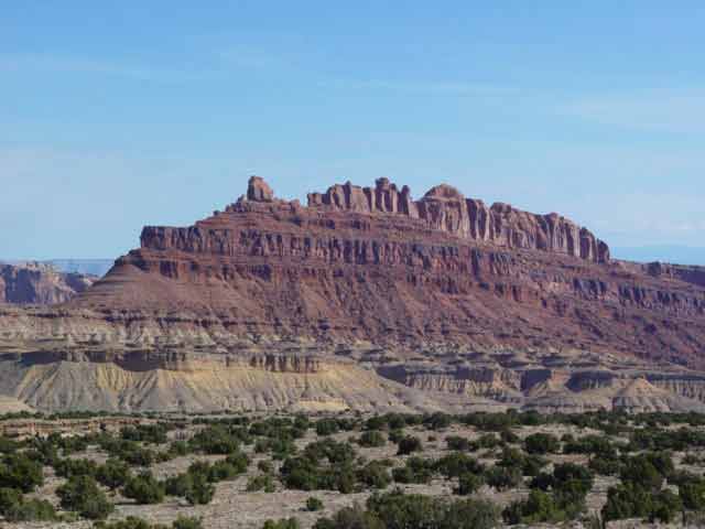
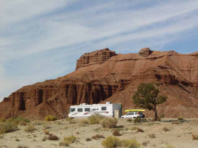
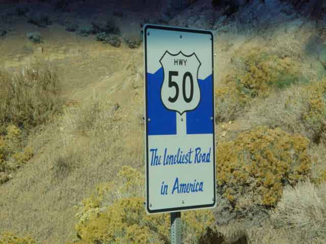
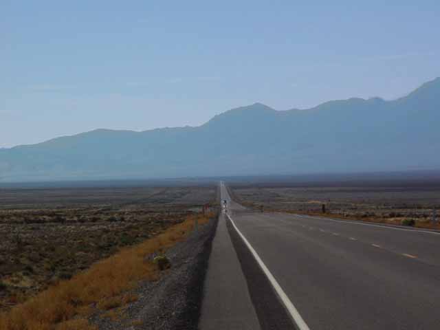
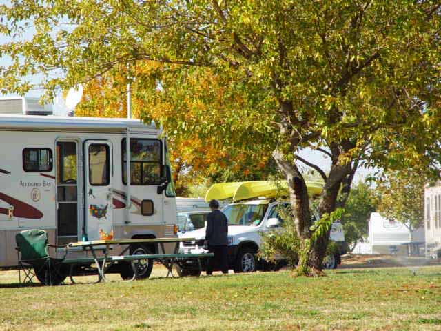
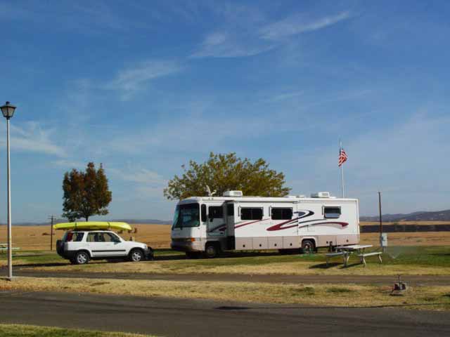
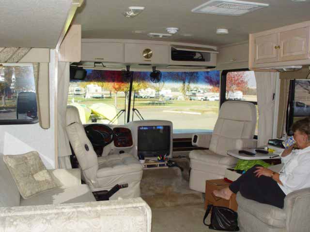
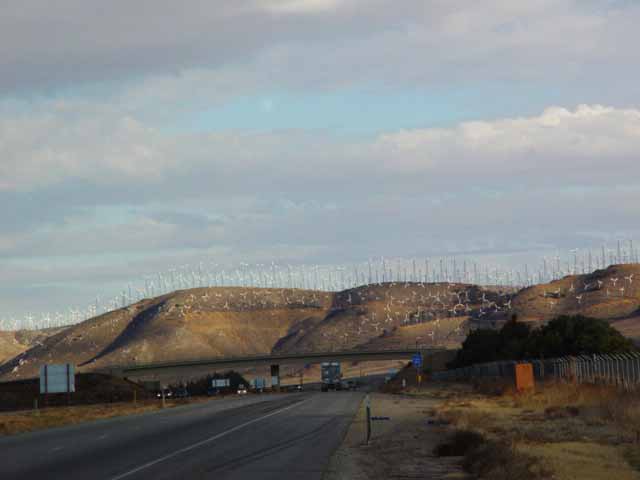
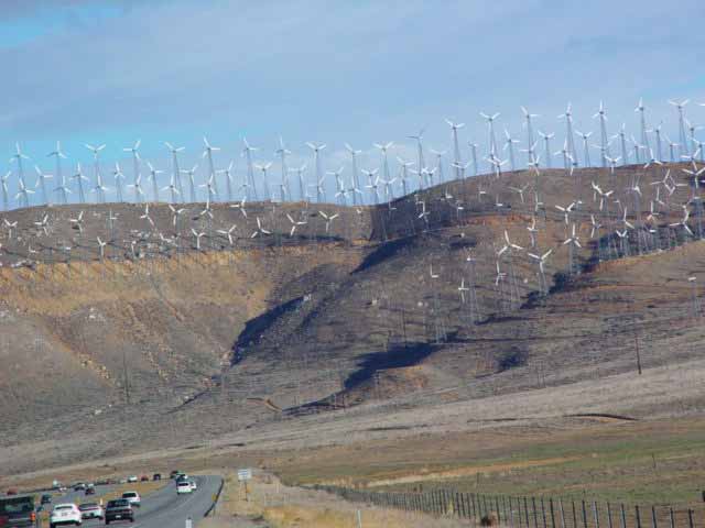
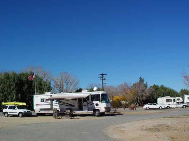
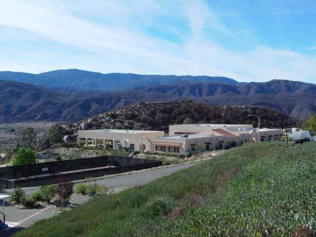
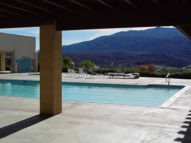
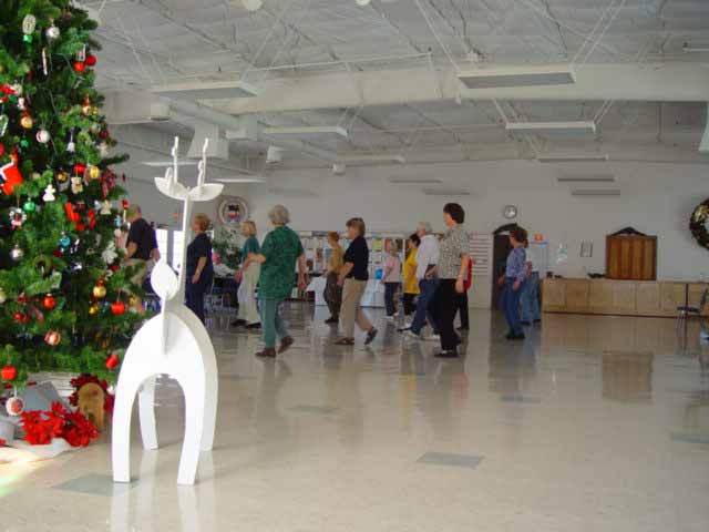
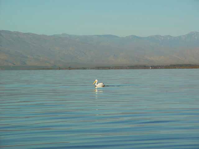
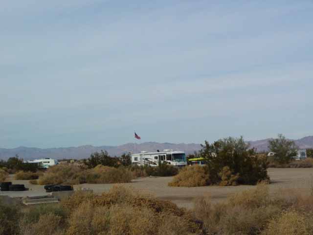
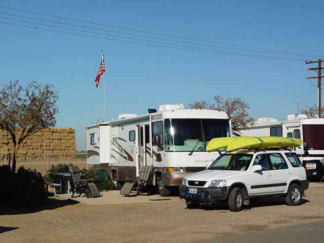